Napa, California
Napa, California is the perfect destination for outdoor adventurers. With its stunning vistas, lush vineyards, and rolling hills, there are plenty of top attractions and activities to explore. Must-visit spots include the Silverado Trail, a scenic byway that winds through the valley, and the Robert Louis Stevenson State Park, which offers stunning views of the surrounding countryside. For those looking for a more active experience, the Napa Valley Wine Train offers a unique and leisurely way to explore the area, while the Bothe-Napa Valley State Park is great for hiking and biking. For a truly unique experience, visitors can take a hot air balloon ride over the valley and enjoy spectacular views of the countryside. For those looking for a more adventurous outdoor activity, there are plenty of trails to explore, including the Oat Hill Mine Trail, which offers stunning views of the valley. No matter what type of outdoor activity you’re looking for, Napa has something for everyone. With its breath-taking scenery, unique attractions, and outdoor adventures, Napa is the perfect destination for adventurers of all kinds.
Top Spots in and near Napa
-
Stinson Beach, California
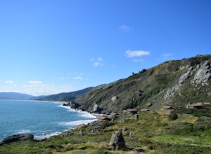
Steep Ravine Environmental Campground
5.0Gain access through a private locked gate, and descend about 1 mile down to the bluff's edge. There is only parking for 1 car per site and also several cabins that can be rented. A camp host is on site and there are bathrooms and water spigots throughout the campground. Each site has a fire ring...Read more -
Muir Beach, California
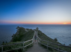
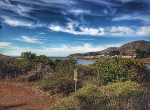
Muir Beach Overlook
4.9The Muir Beach Overlook is one of the most convenient spots to take in an amazing view of the entire coastline, and one of the best places to catch a dramatic sunset. It’s conveniently located one mile north of Muir Beach and parking is easy. It’s a 5 minute walk down the trail to the Overlook. O...Read more -
Muir Beach, California
Owl Trail
5.01.2 mi / 300 ft gainThe Owl Trail runs between Slide Ranch and the Muir Beach Overlook and is a great way to take in the breathtaking views, flora and fauna of the Northern California coast. The easiest way to access the trail is to park at the Muir Beach Overlook and to take the trail down to Slide Ranch and then...Read more -
Mill Valley, California
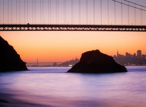
Camp at Kirby Cove
4.5Yes, you can camp just over the Golden Gate! Kirby Cove Campground has 4 overnight campsites and 1 picnic area for day use. The campground is set near a coarse-sand beach and offers amazing views of the Golden Gate, as long as it’s not a super foggy SF day. From the parking lot, it's a steep ~1 m...Read more -
Point Reyes Station, California
Sky Trail Loop
5.09.55 mi / 1818 ft gainSky Trail in Point Reyes National Seashore is a dramatic, mostly single-track trail that runs along the main spine of the Inverness Ridge and across highest mountains in Point Reyes, looming above the Olema Valley and Highway 1 which mark the San Andreas Fault rift zone and the dividing line betw...Read more -
Point Reyes Station, California
Sky Campground via Sky Trail
2.66 mi / 495 ft gainEntering Point Reyes National Seashore from Bear Valley Road the Sky Trailhead is a 4.9 mile drive. Camping in Sky Camp requires a Camping Permit. Once at the Sky Trailhead parking lot. The Sky Trailhead will be on the left side pulling in. The hike is not very strenuous and not all that lo...Read more -
Sausalito, California
Hawk Hill
5.00.76 mi / 144 ft gainIf you're leaving from SF, head over the bridge and exit onto Alexander Ave. Make the immediate left under the overpass and you'll be on the road to Hawk Hill. There's a parking area just below the gate leading up to Hawk Hill. From the parking lot you can walk west about ten yards along the outs...Read more -
Oakland, California
Hike Redwood Regional Park via the Dunn Loop
5.03.6 mi / 606 ft gainThe Redwood Regional Dunn Loop is just outside of Oakland, and can be reached from anywhere in the Bay Area for a fun day or half-day trip. The trail is open year-round. In the spring, wildflowers are abundant. The trail has a great mix of sun and shade. Dogs are allowed, but must be kept on leash.Read more -
San Francisco, California
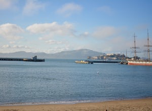
Aquatic Park
3.7Take an early morning swim and watch the sunrise over the east bay or catch an afternoon swim on a sunny SF day. A full lap around the buoys (out-and-back) is about 1/3 mile and the perimeter of the park is 1 mile. Bring your dog for a swim too! Afterward, you can head up Columbus to one of the m...Read more -
Mill Valley, California
Miwok, Marincello and Bobcat Trail
8.17 mi / 1391 ft gainMiwok, Marincello and Bobcat Trail is a loop trail that takes you by a river located near Sausalito, California.Read more -
Sausalito, California
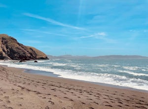
Black Sands Beach
5.00.54 mi / 285 ft gainBlack Sand Beach is a beautiful, mile-long stretch of black sand just north of the Golden Gate Bridge. On a sunny day, it’s best to try and arrive in the morning, as the parking lot can fill up quickly. To get down to the beach, you’ll need to hike for about 5 minutes down 250 or so wooden steps....Read more -
San Francisco, California
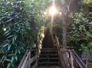
Run the Coit Tower Stairs
3.8There are 2 sets of stairs for Coit Tower on Sansome St. The first set is at Greenwich and the second is at Filbert. The Filbert steps are a little deeper per step and are mostly wood and concrete. The Greenwich steps are a little tougher because of the shallower, brick stairs as you get toward t...Read more -
Mill Valley, California
Rodeo Cove to Point Bonita Lighthouse
5.03.64 mi / 568 ft gainIf you're looking for a little hike and a lot of beach, you'll find your ideal combo at Rodeo Beach and Point Bonita Lighthouse. Park at the Marin Headlands Visitor Center at the head of the 0.8 mile trail to the beach. From the lighthouse to the beach, it will be another 1.5-2 miles there and ba...Read more -
Walnut Creek, California
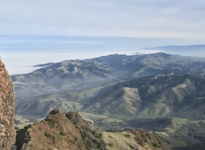
Camp at Juniper Campground in Mount Diablo SP
Mount Diablo's summit in Mount Diablo State Park rises to 3,848ft, with Juniper Campground in Mount Diablo SP is at approximately 3,000ft in elevation. Juniper Campground overlooks the valley below and some of the San Francisco Bay. Reservations for Juniper Campground can be made at Reserveamer...Read more -
Walnut Creek, California
Juniper to the Summit Loop Trail and Meridian Ridge
6.56 mi / 2037 ft gainJuniper to the Summit Loop Trail and Meridian Ridge is a loop trail that is strenuous located near Diablo, California.Read more -
San Francisco, California
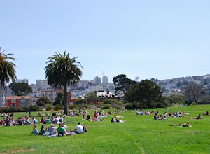
Fort Mason
4.8When the sun comes out in San Francisco, Fort Mason's Great Meadow Park transforms into ground zero for bocce ball, corn hole, wiffle ball, music, dancing, wine, and beer. While it lacks the diversity and quirkiness found at Dolores Park, it makes up for it with a beautiful panoramic view of the ...Read more

