Napa, California
Napa, California is the perfect destination for outdoor adventurers. With its stunning vistas, lush vineyards, and rolling hills, there are plenty of top attractions and activities to explore. Must-visit spots include the Silverado Trail, a scenic byway that winds through the valley, and the Robert Louis Stevenson State Park, which offers stunning views of the surrounding countryside. For those looking for a more active experience, the Napa Valley Wine Train offers a unique and leisurely way to explore the area, while the Bothe-Napa Valley State Park is great for hiking and biking. For a truly unique experience, visitors can take a hot air balloon ride over the valley and enjoy spectacular views of the countryside. For those looking for a more adventurous outdoor activity, there are plenty of trails to explore, including the Oat Hill Mine Trail, which offers stunning views of the valley. No matter what type of outdoor activity you’re looking for, Napa has something for everyone. With its breath-taking scenery, unique attractions, and outdoor adventures, Napa is the perfect destination for adventurers of all kinds.
Top Spots in and near Napa
-
Mill Valley, California
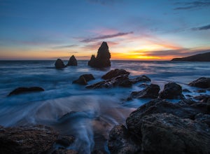
Rodeo Beach
5.0Rodeo beach is 10 minute drive past the Golden Gate. Pack up the car with a couple beverages and something to eat, then spend the afternoon and evening taking in the sunset. If you're taking the romantic angle, remember to pack a few blankets just in case the wind picks up or it's colder than ant...Read more -
Mill Valley, California
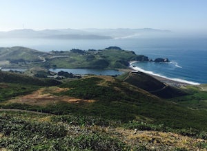
Hill 88 Loop
4.05.5 mi / 1086 ft gainThis quick, yet challenging trail run is located just minutes north of the Golden Gate Bridge. Grab your dog (on-leash), park in the large lot next to Rodeo Beach and hit the trail! The climb starts up the Coastal Trail to the right end of the parking lot if you're staring at the beach. Take the...Read more -
Mill Valley, California
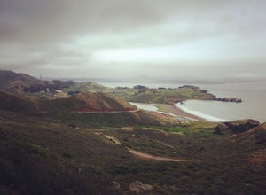
Coastal Trail from Rodeo Beach to Muir Beach
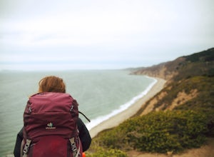
11.35 mi / 3264 ft gainThis hike has beautiful views in the Marin Headlands. You'll find easy parking in the Rodeo Beach Parking lot if you get there early (by 8:30 am). This hike goes along the Coastal Trail which has a few steep areas as you make your way to Tennessee Beach. The Tennessee Beach has gorgeous dark b...Read more -
Oakland, California
Run the Circumnavigation of Redwood Regional Park's Ultimate Trail Loop
5.07.5 mi / 1600 ft gainIt’s difficult to have a car in San Francisco, but oh-so worth it when it comes to weekend getaways, especially with all the Bay Area has to offer. This is a super accessible trail system just 30 minutes outside of the city that makes for a fun, easy trail run or hike.Redwood Regional Park, part ...Read more -
San Francisco, California
Bike the Golden Gate to Sausalito
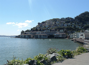
4.7Riding your bike across the Golden Gate Bridge to Sausalito, and then enjoying some drinks on the back deck at Sam's, is a great way to spend a nice day. The views along the way are simply breathtaking. After your ride and a day of fun in Sausalito, you can return to San Francisco by ferry. It's ...Read more -
Marshall, California
Kayak Tomales Bay
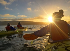
5.0Kayak Beautiful Tomales bay and experience the bioluminescence ecology of the bay. Timed during the lowest crescent of the moon, and starting around sunset, you will paddle into the sunset and wait until it is completely dark, continuing on around the bay to experience the bio-luminescence natur...Read more -
San Francisco, California
Catch a Sunrise at Ina Coolbrith Park
5.0This tucked away neighborhood gem is less than a square block in size, but offers some of the best views of San Francisco. After a quick, but steep, 5 minute walk, you'll be rewarded with incredible views of: the city skyline, Coit Tower, Alcatraz, and the Bay Bridge. There are a few benches avai...Read more -
San Francisco, California
Ride Paradise Loop
4.3Riding this loop has long been a popular option for San Franciscan riders looking to escape the busy city streets. This 38-mile ride with 1,600 feet of elevation, is suitable for all personalities of rider: the fast paced racer or the person just out to relax and cruise.A great place to start thi...Read more -
San Francisco, California
Run to Hopper's Hands
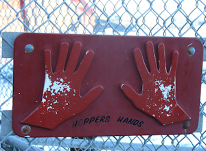
4.6Hundreds of people touch Hopper's Hands every day as a turn-around point on their runs in and around Crissy Field and The San Francisco Bay Trail. Running west through Crissy Field, passing the Warming Hut and pier, you follow Marine Drive until you dead end at Fort Point. If you continue through...Read more -
San Francisco, California
Surf Under The Golden Gate at Fort Point
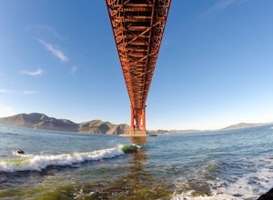
4.2This has to one of the coolest spots to surf in the world. The break itself is a left point that requires a healthy swell to wrap into the bay, and only gets good on occasion. But when it's good, it can be an experience you'll never forget.It's important to note, that when it's good, this is not ...Read more -
San Francisco, California
Picnic Beneath the Golden Gate
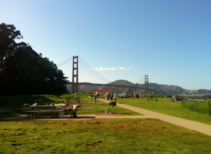
4.4If the weather forecast looks promising, you could do a lot worse than planning a picnic at the West Bluff Picnic Area in the Presidio. This area is south of Crissy Field (closer to the bridge) and before you get to Fort Point - situated perfectly to give you an amazing view of the Golden Gate, A...Read more -
Bolinas, California
Alamere Falls via Palomarin Trailhead
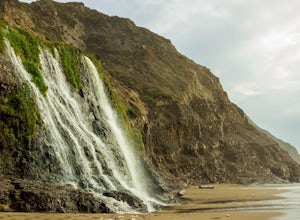
4.513.54 mi / 1614 ft gainAlamere Falls is the tallest waterfall in the bay area. It is known as a tide fall because it empties directly into the Pacific Ocean. This is extremely unique because there are only 34 tide falls in the world and two in California, the other being McWay Falls in Big Sur. Enjoy stunning views of...Read more -
Bolinas, California
Point Reyes' Wildcat Camp via Coast Trail
5.011.19 mi / 1926 ft gainIn order to make this trip possible, go to recreation.gov and make a reservation for Wildcat Camp (available year-round). On your way to the trailhead, make sure to stop by the Bear Valley Visitor Center to grab your camping permit. For more information, visit: http://www.nps.gov/pore/planyourvis...Read more -
Bolinas, California
Bass Lake via Palomarin Trailhead
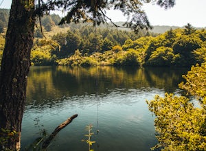
4.26.11 miFollow the Coast Trail from Palomarin Trailhead to Bass Lake. It's a fairly easy ~2.5-3 miles to the Lake. As soon as you pass the lake, on the left you will see a narrow unmarked dirt trail. Take this trail and you'll get to a nice clearing with easy lake access (this will be a great spot for lu...Read more -
Bolinas, California
Glen Camp Loop via the Palomarin Trailhead
4.715.72 mi / 3091 ft gainDay 1 Before heading to the trailhead, make sure to stop by the Bear Valley Visitor Center to pick up your permit. To stay overnight in Point Reyes, you must stay at one of the trail camps. Camping anywhere else in the park is not allowed. Permits for the trail camps can be booked up to 6 mo...Read more -
Bolinas, California
Backpack to Coast Camp in Point Reyes via Palomarin Trailhead
20.5 mi / 2705 ft gainSpanning from just north of the small town of Bolinas (about an hour north of San Francisco) across Inverness ridge and to the top of Tomales Point, Point Reyes National Seashore is as stunning park featuring breathtaking ocean views and solitude among the grassy hillsides and forested ridges. Th...Read more

