British Columbia
Looking for the best hiking in British Columbia? We've got you covered with the top trails, trips, hiking, backpacking, camping and more around British Columbia. The detailed guides, photos, and reviews are all submitted by the Outbound community.
Top Hiking Spots in and near British Columbia
-
Smithers, British Columbia
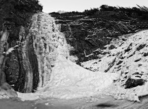
Hudson Bay Mountain Winter Creek Hike
After a 6.7 km drive west from the corner of Toronto St and Hwy 16 in Smithers, BC, you'll come to a clearing where you can either park your vehicle and walk, or continue driving 2 km up the road to a provincial recreation site.From there (starting at 757m, lat/long: 54.82574647 / -127.27593041),...Read more -
Columbia-Shuswap B, British Columbia
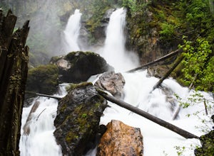
Explore Begbie Falls
1.9 mi / 82 ft gainThis short trail leads down to a fantastic viewpoint overlooking the falls. Additionally the trail leads to a beach at the mouth of Begbie Creek. Just above the beach there is a tent pad, picnic table and fire pit for camping. Follow highway 23 south of Revelstoke and turn right on Mt Begbie Rd....Read more -
Smithers, British Columbia
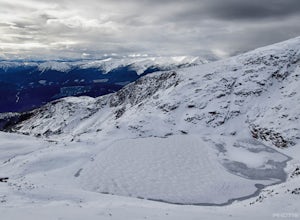
Crater Lake via Crater Lake Trail
3.0Parking in the lot normally reserved for dropping off people, start your upward journey from the base of the Prairie t-bar at the far edge of the resort's boundary. Shortly after starting, we took the path that angles off to the left, away from the t-bar line, and upwards through the trees. With ...Read more -
Cedarvale, British Columbia
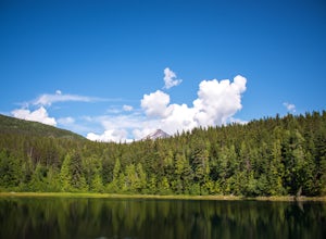
Hike the Watson Lakes Trail
4.54 mi / 600 ft gainThe trailhead is located a few hundred yards from highway 16 on a relatively smooth gravel road. The turnoff is marked by a blue sign saying Watson Lakes Trail. From Terrace the turnoff is 33 miles east, and from Kitwanga Junction the turnoff is 23 miles west. The first half of the hike is a stea...Read more -
Revelstoke, British Columbia
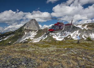
Heli-Hike Ghost Peak
2 mi / 800 ft gainTypically a very popular place for heli-skiing in the winter months, Ghost Peak and the surrounding area offer some epic alpine hiking opportunities! Various routes are available from the ridge connecting Ghost Peak with Mount Cartier. The basin between the peaks, Ghost Peak Basin, is strewn with...Read more -
Edgewater, British Columbia
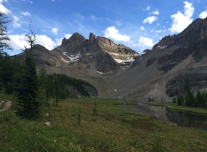
Scramble the Towers
12.4 mi / 3937 ft gainFrom the Assiniboine Lodge (or your campsite or your hut), follow directions to Wonder Pass. After the pass, there are two ways to get up to The Towers, which you can see on the map in the pictures. The first option is to keep going on Wonder Pass Trail a bit further, lose some elevation and cut ...Read more -
Lytton, British Columbia
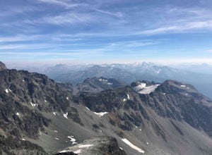
Hike to Slalok Mountain
1.09.9 mi / 1310 ft gainThe hike starts and finishes at the same location as the Joffre lake trail. You'll need to hike to the third lake where where you'll turn off in a SW direction through the valley just before reaching the helipad close to the campground From there, there'll be a trail all the way to the ridge at t...Read more -
Port Renfrew, British Columbia
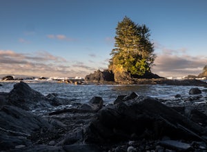
Hike the Botanical Beach and Botany Bay Loop
2.2 miThe loop trail is a short 3.5km trail that is well maintained and open year round. There's negligible elevation gain and aside from the odd slippery section the trail is easily accessible for all ages and skill levels. It is definitely busy in the Spring and Summer months but is manageable in the...Read more -
Sooke, British Columbia
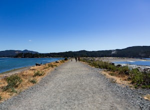
Hike Whiffin Spit
1.5 mi / 0 ft gainLocated in Sooke, between the Sooke Harbour and the Juan de Fuca Strait is Whiffin Spit Park. An easy 2.4km out and back trail with minimal elevation gain that you can walk to the end and back in about an hour. The dog-friendly gravel trail takes you down the spit to the end where you will find a...Read more -
West Vancouver, British Columbia
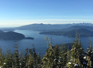
Bowen Lookout
4.02.48 mi / 443 ft gainThe trailhead is located just off the Cypress Mountain lodge. It winds past old growth forest, and the Yew Lake Meadows. After passing these features the trail turns into a series of switchbacks, gaining the elevation in the last 850m of trail. Before you know it you are rewarded with a beautif...Read more -
Kitimat-Stikine C (Part 1), British Columbia
Explore Gruchy's Beach
1.3 miForm Terrace, drive south for approx., 14 km along Highway 37 to Gruchy’s Beach day use area.The beach is accessed by an easy 1 km trail that follows along Williams Creek through and old growth forest. The trail has a number of boardwalks and nice views of the creek, which can provide sights of S...Read more -
100 Mile House, British Columbia
Hike to Red Rock Lookout
4.02.2 mi / 1700 ft gainThe trail starts on a gravel road going up towards a water tower. A doubletrack trail takes off to the right and up the hill as you near the water tower. Take the this trail and this can be followed all the way up to the red rock view point. There are several, steeper, narrower trails branching o...Read more -
Youbou, British Columbia
Hike Heather Mountain
20.5 mi / 3822.2 ft gainHeather Mountain is a moderate well marked out and back hike through managed forest land. The hike brings a wonderful feeling of solitude as there are no towns or buildings visible even with distant views in all directions. It is also quite lightly tracked: we saw no other hikers on the entire r...Read more -
Field, British Columbia
Ski Tour/Snowshoe Mt. Paget
6.8 mi / 8399 ft gainTrailhead: Approximately 5.5km West of the Alberta/British Columbia border sits the Great Divide Lodge. Towards the back left of the main building is the trailhead. Route: The trail is clear from the trailhead and for most of the way to the summit of Mt. Paget. Be aware on your descent if you ...Read more -
Delta, British Columbia
Hiking through Burns Bog Delta Nature Reserve
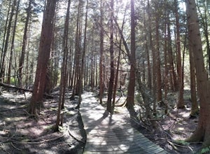
1.9 miAs you begin your journey into Burns Bog Delta Nature Reserve from the parking lot and small trail coming off of Westview Drive, notice the gravel trail ahead of you and across the train tracks that will take you into the bog itself and take a left. After spending a few minutes on the straight tr...Read more -
Squamish-Lillooet D, British Columbia
Hike to Deeks Lake
3.07.5 mi / 3280.8 ft gainBegin the Deeks Lake trail at the Lions Bay parking lot (same entrance as the Howe Sound Crest Trail) just off of Highway 99 North. The pullout is right before Porteau Cove Provincial Park. Begin by walking past the yellow gate and taking an immediate right into the trail where you will begin y...Read more

