British Columbia
Looking for the best hiking in British Columbia? We've got you covered with the top trails, trips, hiking, backpacking, camping and more around British Columbia. The detailed guides, photos, and reviews are all submitted by the Outbound community.
Top Hiking Spots in and near British Columbia
-
Field, British Columbia
Hike "A Walk in the Past Trail," Yoho NP
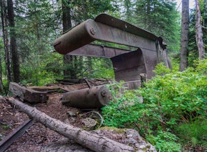
3.02 mi / 396 ft gainThe trail begins towards the backside of Kicking Horse camp area near the washrooms. Please know that access to this area is typically closed between October and June. Look for the large trail sign and be sure to grab a brochure to enjoy the self-guided tour. The brochures may not be available, ...Read more -
Edgewater, British Columbia
Hike to Windy Ridge
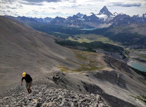
10.6 mi / 1640.4 ft gainWindy Ridge is located by Og Pass in the Mount Assiniboine Provincial Park. Whether you start from any of the campgrounds, huts or the lodge, the way to the Windy Ridge Trail is well indicated and the trail itself is well worn. Beware that if you are using the Gem Trek map (1:100,000), the notes ...Read more -
Whistler, British Columbia
Camp Out at Elfin Lakes Hut
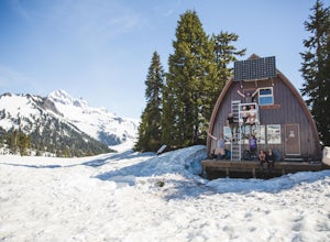
15 mi / 1900 ft gainThe cabin at Elfin Lakes is a beautiful well maintained shelter in the heart of the Garibaldi Provincial Park. It is nuzzled between two lakes (one for drinking water, and the other a swimming hole), and the Gargoyle Peaks. The cabin itself is fully stocked with 8 gas burners, tables, a fireplac...Read more -
Manning Park, British Columbia
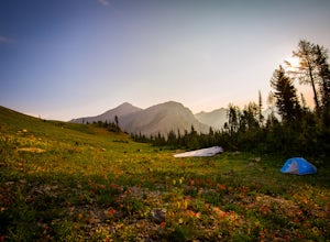
Backpack the Heather Trail, BC
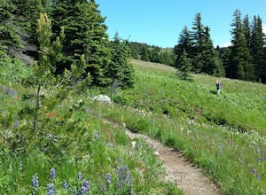
24.9 mi / 1138.5 ft gainThis hike begins in the middle of Manning Park, with a drive up to the trail-head. This means you get all the benefits of alpine views and fields of wildflowers in the summer months, without hiking the elevation gain. Manning Park is on the Crowsnest Highway (BC-3). Across the highway from the ...Read more -
Squamish, British Columbia
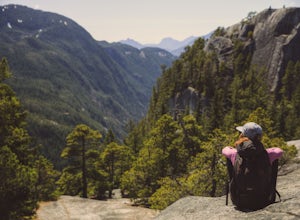
Hike Second and Third Peak of Stawamus Chief
4 mi / 2000 ft gainJust a short drive up the Sea to Sky Highway is one of my favorite hikes near Vancouver. There are two options; the hike to first peak or the hike to second and third peak. Second Peak brings you to an epic view over Sqawmish, the first peak of the Chief, the Sea to Sky Highway, and the Pacific O...Read more -
Fernie, British Columbia
Hike the Mountain Lakes Trail (Heiko's Trail)
5.014.9 mi / 6889.8 ft gainFinished in 2003 by Fernie legend Heiko Socher, Mountain Lakes Trail (aka Heiko’s Trail) is about as good as it gets. This hike is not for the inexperienced hiker. You are way out in the backcountry with little to no other human contact. This is grizzly bear and cougar country so make sure to bri...Read more -
Squamish, British Columbia
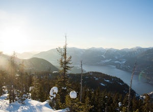
Snowshoe Al's Habrich Trail
3.7 mi / 1312.3 ft gainStrap on your snowshoes and head up to the Sea to Sky Gondola in Squamish, about a 45 minute drive from Vancouver. You can either take the gondola up (~$40), or hike up the Sea to Sky Summit trail that begins near the parking lot to the chief to get to the trailhead for Al's Habrich. If doing the...Read more -
New Denver, British Columbia
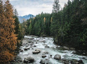
Hike the Kaslo River Trail
1.9 miThe trail begins at the end of Railway avenue near downtown. The trail passes through the red bridge above the river, where you may just see salmon in the stream if you're lucky!The trail has something for everyone. From the gushing icy river with a snow-capped mountain range in the distance, to ...Read more -
Arrow Creek, British Columbia
Hike or Bike to Fish Lake
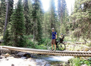
3.7 mi / 500 ft gainTop of the World Park is located 48 kilometres northeast of the village of Kimberley, access is via White Swan and Lussier Forest Service Roads, and extreme caution must be exercised at all times while travelling these roads. The access route is normally passable from late May until late October....Read more -
Comox-Strathcona C, British Columbia
Backpack to Circlet Lake Campground
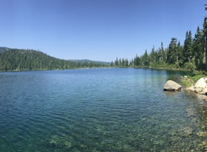
13.9 mi / 2664 ft gainIf you are looking for a beautiful, stress-free campground nestled in the mountains far from the city but within a morning's drive and a day's walking distance, suitable for the whole family and offers tons of activities, Circlet Lake is the right choice for you. It features an alpine lake that i...Read more -
Pemberton, British Columbia
Tenquille Lake
14.99 mi / 3373 ft gainTenquille Lake is the perfect spot to head from Vancouver if you have the time for a long drive and are looking for a people-less adventure. The hike is a manageable 24km round trip with a 1,000m elevation gain that takes you through wildflower meadows, lush forest, and past some stunning views...Read more -
Kitimat, British Columbia
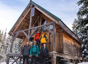
Backpack to Clague Cabin
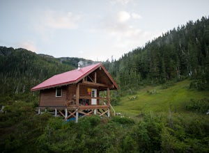
5 mi / 2300 ft gainFrom the Kitimat Service Centre head north along Enterprise Avenue until you reach the Wedeene Mainline Forestry Road. Continue north along the mainline for approximately 1 km. Turn left and follow the rough road for approximately 2 km. to the trailhead. Trail is gated approx 0.5 km from trailhea...Read more -
Tofino, British Columbia
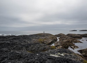
Explore Tide Pools at Chesterman Beach, Tofino, BC
4.81 mi / 30 ft gainBeyond surfing, skim boarding, biking, and hiking, there are plenty of beaches to comb and coastal tide pools to explore near Tofino BC. The best rocky coastal tide pools are between North Chesterman and South Chesterman beach just 3.6 miles south of the town of Tofino. This area is also known as...Read more -
Whistler, British Columbia
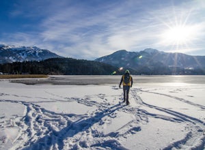
Snowshoe the Rainbow Lake Loop
6 mi / 400 ft gainIn Whistler Village, stop by the information booth and get one of the maps that has the mountain bike paths on it. This will be your map of all the different snowshoeing options in the area, and any of the trails are sure to take you on a fun adventure.From Whistler Village make your way to Rainb...Read more -
D'Arcy, British Columbia
Overnight at Keith's Hut
2.05.6 mi / 1312.3 ft gainStarting from the side of the highway outside of Pemberton, continue towards Duffy Lake past Joffre Lake trail head. Cross the Cayoosh Creek bridge and pass the work sheds on your right with a green roof, 3.3km from this is a shoulder and between no-stopping avalanches areas, you will see a pull ...Read more -
Belcarra, British Columbia
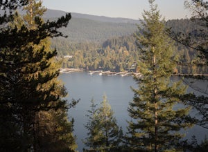
Hike to Jug Island
3.4 mi / 328 ft gainPark your car at the Belcarra Regional Parking Lot and head into the forest. There will be a trail marker beside the playground. Walk about 5 mins along this trail and cross the road. There will be two trails - take the one on the left and follow this trail uphill. The trail is very well marked a...Read more

