British Columbia
Looking for the best hiking in British Columbia? We've got you covered with the top trails, trips, hiking, backpacking, camping and more around British Columbia. The detailed guides, photos, and reviews are all submitted by the Outbound community.
Top Hiking Spots in and near British Columbia
-
South Hazelton, British Columbia
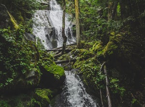
Hike the New Hazelton Lookout and Waterfall Trail
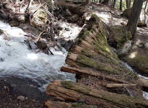
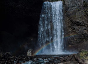
4.01.2 mi / 49.2 ft gainThis waterfall almost looks like it belongs in Oregon or Washington but instead its in Northern British Columbia in a cute little mountain town. The hike is an easy, gradual and well maintained trail. To get to the trailhead drive to the end of Laurier Street in New Hazleton and you'll see the s...Read more -
Sea to Sky Gondola, British Columbia
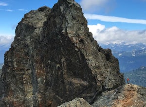
Scramble Sky Pilot
4.010 mi / 3800 ft gainSky Pilot Mountain is the highest peak past Stawamus Chief, Squamish's famous vertical rock face. Luckily, the rock just beyond the Chief is just as beautiful and reliable for climbers, hikers, and scramblers looking to stretch their legs and challenge their vertigo limits on an exposed, thrillin...Read more -
Comox-Strathcona D, British Columbia
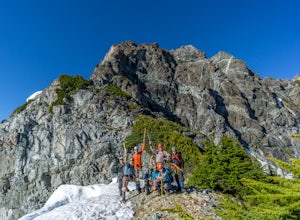
Climb Mt. Septimus via the X-Gully
16.8 mi / 5905.5 ft gainMt Septimus lies deep within the beautiful and untouched Strathcona Park on Vancouver Island. The route takes you high into the alpine where you will cross glacial fed lakes amongst large peaks and thick forest. To climb Mt Septimus the route you will be taking is the X-Gully route, a steep snow ...Read more -
Northern Rockies B, British Columbia
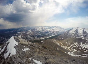
Summit Mt. St. Paul via the Summit Peak Trail
5.04.3 mi / 2736 ft gainAs I drove into the Northern Rockies in early spring it struck me what a remote part of the world this was. I'd been driving for hours on the Alaska Highway without decent radio or phone service, and not many signs of other human visitors or inhabitants Since passing through Fort Nelson. I'd read...Read more -
Whistler, British Columbia
Backpack Helm Creek
11.2 mi / 3000 ft gainStart your drive by driving up the Cheakamus Lake forestry road to the parking lot (approximately 7km up the road). From the parking lot, start walking down the trail towards Cheakamus lake. About 2km down the trail, you will see a sign post indicating that you can continue straight to Cheakamus...Read more -
Harrison Mills, British Columbia
Hike to Statlu Lake
5.6 mi / 984.3 ft gainStatlu Lake is a hidden gem in the Harrison area. Start your journey at the Harrison West Forest Service Road. This road is pretty well maintained, and a piece of cake for any 4x4 vehicle but high clearance is always helpful, especially for the last bit of road up the hill to the trailhead. It wo...Read more -
West Vancouver, British Columbia
Snowshoe to St. Mark's Summit
1.08 mi / 1500 ft gainIf you are looking for the perfect snowshoe adventure you've found the right place. St. Marks is located on Cypress Mountain. It is more difficult than the nearby Hollyburn, and sometimes inaccessible due to heavy snow. For those two reasons makes it the most secluded hike just minutes from downt...Read more -
Bowen Island, British Columbia
Snowshoe to Black Mountain and Eagle Bluffs
5.6 mi / 1312.3 ft gainEagle Bluffs is a perfect hike for anyone looking to get away but not too far from the city! Your trip will start by grabbing your (free) backcountry pass from the Black Mountain lodge in the lower parking lot at the top of cypress bowl road. This is not the main lodge (Cypress Creek Lodge), but ...Read more -
Columbia-Shuswap B, British Columbia
Hike to Broken Bridge Falls
1.03.1 mi / 82 ft gainTo get to Broken Bridge Trail head follow the switched back road of Meadows in the Sky Pkwy up through Mt Revelstoke National Park. Make sure to get a trail brochure at the park gate this will help as the directions are easier to understand while reading the map on the brochure. Make your way up ...Read more -
Whistler, British Columbia
Hike along the Whistler Valley Trail Lit Section
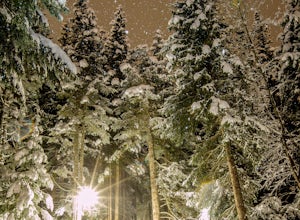
1.2 mi / 164 ft gainThe best place to start you adventure on the Valley Trail at night is at the Whistler Golf Club - Directly across highway 99 from the whistler conference centre. From the parking lot (pay attention to pay parking times), walk west towards the clubhouse, where you will find the entrance to the Val...Read more -
Denman Island, British Columbia
Explore Fillongley Provincial Park
4.01.6 mi / 60 ft gainFillongley Park is located on Denman Island. To get there take the Denman Island Ferry from Buckley Bay, off Hwy #19A on central Vancouver Island. Take the Buckley Bay exit #101 from Hwy #19A. Once on the island, follow Denman Road to Swan Road. Turn left on Swan Road, then right on Beadnell Road...Read more -
Kitimat-Stikine B, British Columbia
Hike around Ross Lake
4.02.2 miThe turnoff for Ross Lake Provincial Park is 3.3 km east of the Hazelton Visitor Center. Take Ross Lake Road for 1.5 km until it ends at the parking lot. The Rainmaker Trail is an easy 3.5 km hike along the perimeter of Ross Lake. The trail is very well maintained and is just about flat the entir...Read more -
Prince Rupert, British Columbia
Hike the Butze Rapids Loop Trail
4.03.4 miThe parking lot for the trail is just outside of Prince Rupert and right off of Highway 16W.This hike is an easy hike, with some hills, through a beautiful coastal rainforest. The viewing platform for Butze Rapids is 1.8km from the parking lot and then you can either choose to turn around and go ...Read more -
Skeena-Queen Charlotte D, British Columbia
Hike to the Pesuta Shipwreck
6.2 miThis is a 10km (4 hour) round trip hike perfect for beginners as there is no elevation gain. Check the tide tables, as the best time of day to take this hike is during low or receding tides.Park in the day use area of Naikoon Provincial Park, a large mostly flat park on the east side of Graham Is...Read more -
Clearwater, British Columbia
Moul falls
5.03.4 mi / 652 ft gainThis hike follows a well groomed trail that meanders through the forest. At 5.4 km it was well worth every step. The vegetation slowly changes, you'll know when you're getting close! Once you approach the viewing point the trail continues down the left side of the hill and leads you into the rive...Read more -
North Vancouver, British Columbia
Hike Goat Mountain
4.05 mi / 984.3 ft gainGoat Mountain is a picturesque hike that starts from the top of the Grouse Mountain Ski Resort. On a sunny, clear day, the top of Goat Mountain can offer views of Vancouver and even as far away as Mount Baker, Vancouver Island, and some of the mountain ranges in Garibaldi Provincial Park near Squ...Read more

