Moab, Utah
Top Spots in and near Moab
-
Moab, Utah
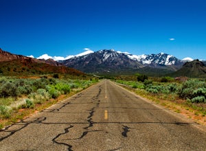
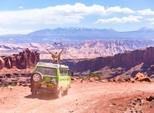
Drive through Scenic Castle Valley
5.0Going west on Highway 128 towards Moab, take a left onto La Sal Loop Road. And you're there! To get back to Highway 128, simply turn back on the same road. You can also take a right onto Porcupine Ranch Road, meeting at La Sal Loop Road again, eventually reaching Highway 128.During this drive, yo...Read more -
Moab, Utah
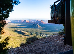
Camp at Porcupine Rim Campground
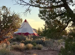
5.0Porcupine Rim Campground, just inside the Manti-La Sal National Forest, is a fantastic dispersed campsite (with bathrooms) that overlooks the hills and mesas of Castle Valley some 2000' feet below. Most are familiar with the area due to the famous Porcupine Pine Rim mountain biking trail, but the...Read more -
Grand County, Utah
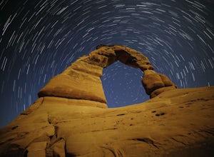
Delicate Arch
4.83.18 mi / 554 ft gainI headed out to the trailhead because I really wanted to shoot the super moon with the Delicate Arch. It was absolutely fantastic, especially during such a full moon. Everything was bathed in a soft glow, it was like I was on another planet actually. It was amazing to sit in silence and to try to...Read more -
Moab, Utah
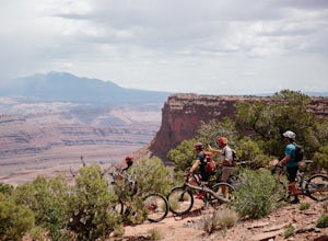
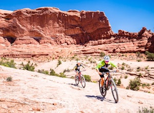
Mountain Bike the Intrepid Trail System in Dead Horse Point SP
5.014 miIf you're visiting Moab for some mountain biking, this is a great place to start. There's nothing too technical and plenty of route options and points to bail out if you're getting tired. Perhaps more importantly, you don't have to work that hard to find some quality riding and classic Moab views...Read more -
Moab, Utah
Hike the Big Horn Overlook Trail
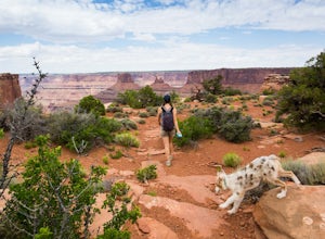
4.03.5 mi / 0 ft gainAs a pet owner, you probably know that bringing your pooch along on your National Park adventures can be a frustrating experience. Most of our Parks do not allow pets on trails, and for several good reasons, but if you bring your dog(s) with you to Moab country, you’ll be happy to know that there...Read more -
Moab, Utah
Hike the West and East Rim Loop at Dead Horse Point
5.04.98 mi / 928 ft gainThis is a 5.5 mile loop, if you opt out of the several in/outs to various lookout points, which extend the hike to about 10 miles -- do not opt out! These lookout points get better and better. However, you can skip the only modest part of the trail, where the West and East rims of the trail meet...Read more -
Moab, Utah
Camp at Willow Springs Trail
4.0Willow Springs Trail is state-owned land located 13 miles north of downtown Moab Utah. The state provides some vault toilets and port-o-lets throughout the area, but there are no designated campsites or fire rings. Along the main road, there are plenty of large flat spots that people with RV's or...Read more -
Grand County, Utah
Fiery Furnace Loop
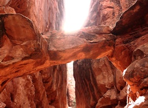
4.51.53 mi / 328 ft gainArches National Park is an incredible place with a variety of places to explore. One of the great places to explore is the Fiery Furnace. The Fiery Furnace requires a permit, which can be obtained at the Visitor Center after watching a short video. For the most part, they are making sure you are ...Read more -
Moab, Utah
Mountain Bike Bull Run Trail
5.5 mi / 1000 ft gainBull Run has a parking lot on the Little Canyon / Gemini Bridges Rd. It's a 5.5 mile downhill trail that ends at the Lower Getaway Trail. Bull Run Trail follows the north side of Bull Run Canyon and provides scenic views with a mix of slick rock, sand, and flowing trails. Most people will park at...Read more -
Moab, Utah
Capture Sunrise at Dead Horse Point SP
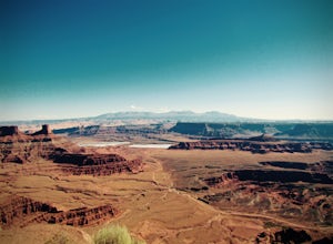
5.0Dead Horse Point State Park sits next to Canyonlands National Park with expansive views of the canyons carved by the Colorado River. The park can be accessed year-round and the best views are within feet of the parking lot. To capture the warm light of sunrise on the red rocks, head for the wes...Read more -
Moab, Utah
Mountain Bike the Sovereign Trail
5.08 mi / 1000 ft gainStarting from the trailhead north of Moab on Dalton Wells Rd. Follow the Copper Ridge 4x4 road until you see the signs for the start of the Sovereign Trail. It starts with a steep uphill, but once you crest the top of the hill you are rewarded with a beautiful view of the La Sals and surrounding ...Read more -
Moab, Utah
Magnificent 7 Trail
22.12 mi / 2254 ft gainThe Mag 7 a relatively new mountain bike route in 2012 that parallels Gemini Bridge road where the trail begins. The trail consists of 4 sections, Bull Run, Arth's Corner, Little Cyn, Gold Bar and Gold Bar Rim. Everyone is talking about this route and it is all great. I have to agree. This will b...Read more -
Moab, Utah
Drive Long Canyon Road
5.0Moab is an outdoor mecca, from rock climbing to mountain biking to 4WD adventures and while not particularly technical (it is only rated Class 2) the 7.8 mile Long Canyon Road just north of Dead Horse State Park is an excellent way to get a taste for the incredible features (and views) that the C...Read more -
Grand County, Utah
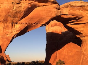
Broken Arch and Sand Dune Arch
5.01.5 mi / 187 ft gainStarting at the Sand Dune Trailhead, there is a trail among the brush, which is pretty well marked. Just after starting, you'll see some fins on your right with a sign indicating the Sand Dune Arch. This is a short 0.2mi spur trail that leads to an arch surrounded by tall fins. To keep going, fo...Read more -
Moab, Utah
Bike the Big Mesa Trail
3.3 mi / 400 ft gainBig Mesa trail is the jewel of the Navajo Rocks trail system, containing all of the awesome mountain biking features one comes to expect in Moab, from slickrock to sand chutes with epic views of the terrain. Located off Utah Highway 313 at the Navajo Rocks Trailhead parking lot, 19 miles from dow...Read more -
Moab, Utah
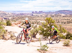
Bike the Ramblin' Trail
3.3 mi / 200 ft gainThe Ramblin' Trail, part of the Navajo Rocks trail system, is a beginner to intermediate mountain biking trail with a great mix of slickrock, dirt trails, and some sand that features excellent views of hoodoos, Navajo Sandstone, and the general Colorado River watershed redrock. Located off Utah H...Read more

