Moab, Utah
Top Spots in and near Moab
-
Moab, Utah
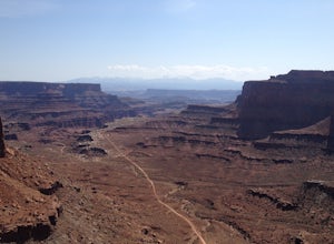
Mountain Bike Moab's White Rim Trail
5.0100 miThis trip can be done with an outfit or independently. The outfit Escape Adventures is highly recommended. They send two guides - one drives a pickup behind with all the camping gear. If you don't have the money or interest, however, it is possible to simply use panniers or a backpack to carry ev...Read more -
Moab, Utah
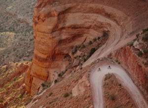
Mountain Bike the Shafer Trail in Moab
5.05 miThe best way to ride the Shafer Trail is to bring a support vehicle (one with 4WD and decently high clearance). If you're into a sufferfest, by all means climb your way out of there. You can also include it on a much, much longer ride like the White Rim Trail. But if you just want to experience t...Read more -
Moab, Utah
Hike to the Klondike Bluff Dinosaur Track
3.03 miI think these tracks are the best in Moab. Take route 191 north out of Moab for about 13 miles (mile post 142). Klondike Bluff road is on the right. If you pass the airport, you went too far. This road is easily accessed with two wheel drive cars. The parking area is at the end where you will see...Read more -
Moab, Utah
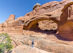
Tower Arch
5.02.46 mi / 440 ft gainTower Arch is located in the remote Klondike Bluffs area in Arches National Park. If you're looking at the park map, you can see the unimproved Salt Valley Road that leads south then west from the main road towards Klondike Bluffs. The road is rough in a few places, but can easily be traversed in...Read more -
Moab, Utah
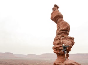
Climb Moab's Ancient Art, Fisher Towers Area
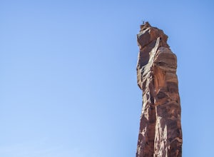
5.0This is one of the most popular towers in the Moab area and for good reason. It's well-protected, has super fun movement and variety, and the final spire summit will get your blood pumping. Aside from a few bolted moves that go around 5.10+ (or A0), most of the route is pretty cruiser ranging fr...Read more -
Moab, Utah
Hike the Neck Spring Trail
5.8 mi / 260 ft gainWith minor changes in elevation, a couple easy scrambles and the opportunity to find your route by cairns, the Neck Spring Trail is the perfect way to get acquainted with Island in the Sky area of Canyonlands National Park.Starting at the Shafer Canyon Overlook parking lot, the Neck Spring trail ...Read more -
Moab, Utah
Backpack the Lathrop Canyon Trail in Canyonlands
18 mi / 2130 ft gainAccess to this trailhead is a few miles south of the Islands in the Sky Visitor Center in Canyonlands National Park. An easy drive from Moab or Interstate 70. Remember to get permits and check in with the rangers if camping. If just doing a day hike then no permits are needed. REMINDER: There is ...Read more -
Moab, Utah
Ride the Whole Enchilada Mountain Bike Trail
5.026.8 mi / 2300 ft gainThe Whole Enchilada trail covers a massive expanse of terrain and varying climates. The trail passes through a variety of terrains in very remote locations. Be sure to pack as much food and water as possible and be prepared to service your own mechanical issues on the trail. This is a very popula...Read more -
Moab, Utah
Climb Mount Tukuhnikivatz
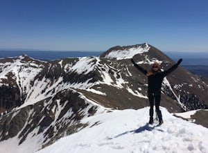
6 mi / 2200 ft gainFrom the parking area at La Sal Pass, follow a well defined but unmapped trail though meadow, brief forest, and then switchbacks up the prominent ridge just east of the summit ridge of Mt Tuk. Once on the ridge bear west (climbers left) along the ridge as it narrows. Depending on conditions the r...Read more -
Moab, Utah
Climb Mount Peale
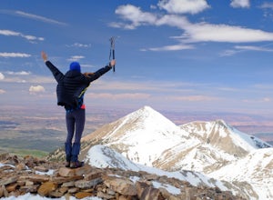
5.05 mi / 2721 ft gainFrom the parking area at La Sal Creek, just east of Medicine Lake examine the mountain and identify the prominent gully which feeds into La Sal Creek. Follow the old road bed north until its end and then travel cross country. Ascend the gully the the summit ridge between the northwest peak and th...Read more -
Moab, Utah
Climbing Moses in Canyonlands
Moses offers some fantastic crack climbing. It is in the Island in the Sky area near the Taylor Canyon Campsite. The climbing is difficult but the rock is a really solid wingate sandstone. With one of the best summits in the world, this tower isn't one to miss.To get more information on the route...Read more -
Cisco, Utah
Off Road to the Top of The World
13.2 mi / 2000 ft gainThe off road trail called Top of the World is a dirt road meant for *OFF ROAD VEHICLES ONLY*. All wheel drives jeeps and trucks are most common on this route but it is frequented by ATV and Dirt Bike users as well. If you elect to hike this route be mindful of their presence and give off-road veh...Read more -
Moab, Utah
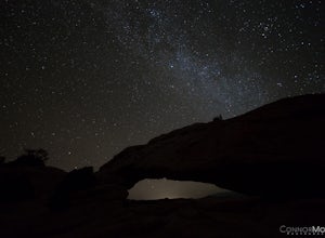
Night Photography at Mesa Arch
5.0From the parking lot, the hike is a .6 mile loop (20-30 min hike round trip). It took 10 minutes to get to the Arch. I arrived at 2am and hiked to the Arch to get some Milky Way shots, definitely arrive earlier to shoot the stars. I explored around when I got to the Arch and came up with a bunch ...Read more -
Moab, Utah
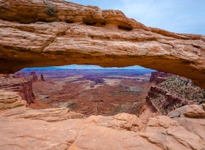
Mesa Arch
4.50.74 mi / 164 ft gainThis is an easy 0.6 mile loop. The hike takes you out to Mesa Arch, which is one of the most famous structures of Canyonlands National Park. If you're out with your camera, you can get amazing shots of the arch with the rugged canyon as your backdrop. Some of the best photos of the arch are at s...Read more -
Moab, Utah
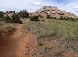
Hike the Aztec Butte Trail
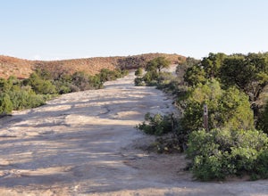
4.52 mi / 500 ft gainThe Aztec Butte Trail is a two pronged out and back trail for a total of two miles. The trail is single track and easy to follow. After a third of a mile the trail splits. To the left, a trail takes you to the top of a small mesa. There is an informative sign marking the way. On the other side of...Read more -
Monticello, Utah
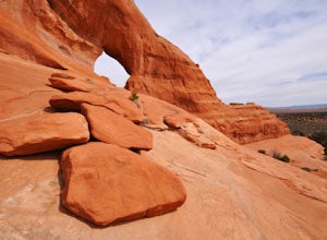
Explore Looking Glass Arch
4.0Getting there:From Moab, follow Highway 191 south for about 23 miles until you get to Looking Glass Road/Co. Rd. 131. Take a right and follow the road for about 2 miles and then turn left into the parking lot.It is only about 0.10 miles from the parking lot to the arch itself, but there is a ~150...Read more

