Nevada
Looking for the best hiking in Nevada? We've got you covered with the top trails, trips, hiking, backpacking, camping and more around Nevada. The detailed guides, photos, and reviews are all submitted by the Outbound community.
Top Hiking Spots in and near Nevada
-
Las Vegas, Nevada
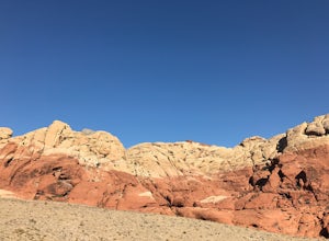
Hike or Trail Run White Rock to Willow Springs
4.4 mi / 200 ft gainThis hike is located along the 13 mile scenic drive in the Red Rock Canyon National Conservation Area. To enter the park you will need to pay a $7.00 entry fee per car (or $3.00 fee per bike). About halfway through the drive you will find the upper parking area for the White Rock Spring. [There ...Read more -
Carson City, Nevada
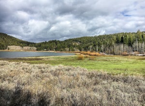
Hike the Spooner Lake Loop
2.2 mi / 150 ft gainThe Spooner Lake Loop is perfect for any ages since there is basically no elevation gain and many benches along the trail to rest. The trail offers many educational signs describing the history, and flora and fauna of the area. This man made lake is perfect for the kids and pup. They will love th...Read more -
Las Vegas, Nevada
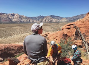
Rock Climb at Red Rock Conservation Area
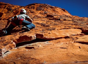
The official address for Red Rock Conservation area for you GPS travelers is: 1000 Scenic Loop Dr, Las Vegas, NV 89161. Head into the park, and you'll be on the one way Scenic Loop Drive. Red Rock is home to thousands of different routes, so it's easy to get lost amidst the rock. I recommend usin...Read more -
Baker, Nevada
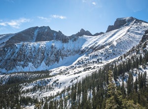
Wheeler Peak via Upper Lehman Creek
15.27 mi / 5177 ft gainNot a feat for the faint of heart. You have to want this one. Especially if you are dealing with intermittent patches of snow. The Upper Lehman Creek Trail, the Wheeler Peak Trail, and the summit are not overly challenging when done on their own, but the sum of it's parts makes this combination t...Read more -
Wells, Nevada
Camp at Angel Lake in the Ruby Mountains
Angel Lake is a gem of a campground located just south of Wells, Nevada. Most people drive right by on I-80 on their way through but its definitely worth stopping for. Located at nearly 8500 of elevation the road to get their is windy and twisty with no guard rails. While towing our 27' Airstream...Read more -
Beatty, Nevada
Explore Rhyolite Ghost Town
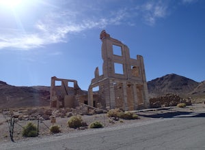
1.1 mi / 118 ft gainJust outside of Death Valley National Park, Rhyolite is 35 miles from the Furnace Creek Visitor Center on the way to Beatty, Nevada. Rhyolite Ghost Town is a result of the gold rush in Nevada. The town was very lively, with active citizens who enjoyed baseball games, dances, basket socials, tenni...Read more -
Las Vegas, Nevada
Rock Climb the Black Corridor
5.00.4 miThis is a popular area for beginners and intermediate rope climbers. The corridor is sheltered from the wind, which makes it climbable year-round (but bring a light jacket!). Approach: Climbing coordinates are 36.15547, -115.43613.Driving on Scenic Loop Dr., park on the right at the second parkin...Read more -
Glenbrook, Nevada
Camp at Zephyr Cove
Zephyr Cove on the eastern shore of Lake Tahoe is a fantastic starting point for a host of water sports and outdoor activities, from wake surfing to backpacking to trail running on the Tahoe Rim Trail. The Zephyr Cove Resort campground has 47 walk-in campsites and 10 drive-in campsites in additio...Read more -
Baker, Nevada
Alpine Lakes Loop in Great Basin NP
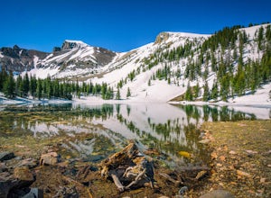
5.02.62 mi / 499 ft gainThe Alpine Lakes Loop is a 2.7-mile round-trip trail starting at 9,800ft and gaining 600ft at its highest point. The loop trail travels past two pristine alpine lakes, Stella and Teresa Lakes while providing excellent views of Wheeler Peak as a nearby backdrop. The trail is easy and accessible to...Read more -
Fallon, Nevada
Hike Sand Mountain
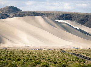
2.5 mi / 700 ft gainSand Mountain, located just off Highway 50 in Nevada aka "The Loneliest Highway", is perhaps best known as an OHV-paradise, with off-road enthusiasts descending on it like a swarm of buzzing mechanical beasts. Most don't know that the BLM-managed Recreation Area also has numerous trails around th...Read more -
Clark County, Nevada
Hike the Prospect Trail in the Valley of Fire
4.511 miComing from the adventure guide map you can buy at the Visitors Center, which you should do, they describe the Prospect Trail in the following:"Hikers and equestrians enjoy 5.5 miles of outback trail between Valley of Fire Highway and White Domes. Many work out the logistics of being picked up o...Read more -
Reno, Nevada
Hunter Creek Trail
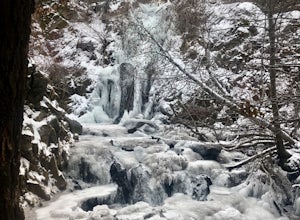
3.06.43 mi / 1362 ft gainJust outside of Reno find a fun little hike through the hills along a creek, ending at a beautiful waterfall. The trail is heavily trafficked and easy to follow with two creek crossings. It is mostly a moderate but steady climb on the way out, with just a few steep spots. The parking lot has ...Read more -
Reno, Nevada
Camp at Tamarack Bay on Pyramid Lake
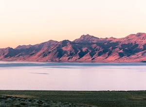
5.00.25 miPyramid Lake is the last remnant of the vast Pleistocene Lake Lahontan which reached its peak at the end of the last ice-age, being the terminus of many of the glaciers and ice sheets which covered much of California, Oregon, Idaho, and Nevada.Today it is an oasis in the heart of the Basis and Ra...Read more -
Dyer, Nevada
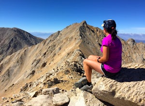
Hike Boundary Peak
5.010.4 mi / 4000 ft gainBoundary Peak received its name because it straddles the border of California and Nevada. While technically in Nevada, just a few hundred feet away lies its taller neighbor Montgomery Peak (13,442') in California. Many people bag both peaks at once, but the rotten rock and unstable trail make Mon...Read more -
Pioche, Nevada
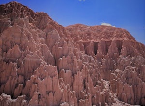
Cathedral Gorge Loop
5.03.38 mi / 226 ft gainAs you drive north up Great Basin Highway, you will pass the teeny town of Panaca before seeing the Cathedral Gorge State Park Visitor's Center on the left side of the road. After you take a left, follow the road down and to the right, pay the park fee and prepared to take in some funky formation...Read more -
Pershing County, Nevada
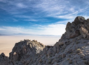
Climb Old Razorback Mountain
5 mi / 1650 ft gainThe trip begins by turning off Nevada highway 447 onto the unmaintained Jungo Road (county road 49) and driving 19 miles to the end of the northeast spur of the mountain at a clear turnoff and rise in the road.There is an obvious use-trail for the first 500 meters or so, and simply follow the rid...Read more

