Nevada
Looking for the best hiking in Nevada? We've got you covered with the top trails, trips, hiking, backpacking, camping and more around Nevada. The detailed guides, photos, and reviews are all submitted by the Outbound community.
Top Hiking Spots in and near Nevada
-
Stateline, Nevada
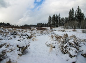
Hike the Lam Watah Trail
5.02.2 mi / 85 ft gainLam Watah Trail is a 2.2 mile out and back hike, that will take you through Lam Watah meadows and ends at Nevada Beach. I did the hike in December and although the best time to do it is May through October, I think it had more charm during the winter time. The trail head begins from the parking ...Read more -
Boulder City, Nevada
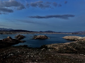
Hike the Sunset View Trail
4.00.1 mi / 0 ft gainThe trail is .1 miles, and is perfect for all skill levels and for families who want to see some of the scenery in Lake Mead National Recreation Area. The trail is accessible year round and allows dogs.Read more -
Fallon, Nevada
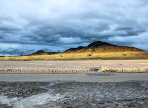
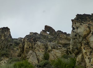
Hike Grimes Point Archaeological Site
5.01 mi / 400 ft gainFrom Fallon, Nevada on US-Hwy 50, head east for 7 miles until you see the sign for Grimes Point on your left. The area offers mutiple miles of hiking and biking trials to small peaks overlooking the Fallon area. The main focus of the area is the historical interpretive 1/4 long petroglyphs trail....Read more -
Carson City, Nevada
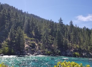
Hike to Secret Cove
5.00.9 mi / 209 ft gainTake a short little hike down from HWY 28 to Secret Cove to relax on the beach on sunbathe on rocks. The water is incredibly clear and has different shades of turquoise. There are many rocks to climb on and the water is great for swimming. It gets crowded early, and is a nude beach, so plan accor...Read more -
Baker, Nevada
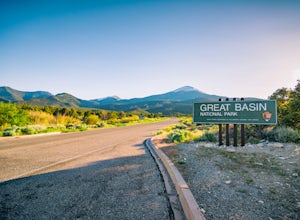
Camp at Upper Lehman Creek Campground, Great Basin NP
Great Basin National Park is located just a few miles east of the Nevada/Utah border in White Pine County. This beautiful park lies approximately 4.5 hours northeast of Las Vegas, NV and about 4 hours southwest of Salt Lake City, UT near the small town of Baker, NV. The Upper Lehman Campground is...Read more -
Incline Village, Nevada
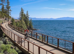
Bike or Take a Stroll along the Tahoe East Shore Trail
5.02.75 mi / 300 ft gainLake Tahoe's East Shore Trail is a wide paved walking and cycling path running between Incline Village and Sand Harbor State Park. Opened in 2019, the path lies completely separate from the road, sometimes hovering well above it on the mountainside, and other times running parallel to it on a bri...Read more -
Baker, Nevada
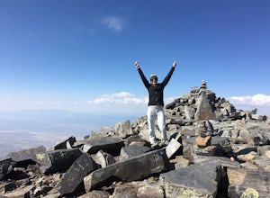
Wheeler Peak via Alpine Lakes Trailhead
8 mi / 3002 ft gainThis hike is a must-do while in Great Basin! The views from the top offer very unique 360-degree views that can't be matched anywhere else. If you're visiting Great Basin, I definitely recommend taking the time to do this hike, even though it's on the longer and more strenuous side! Wheeler Peak...Read more -
Humboldt County, Nevada
Hike to Granite Peak
10 mi / 3000 ft gainTo reach the trail, drive up Hinkey Summit Road from Paradise Valley (the road is pretty rough--make sure your spare tire is inflated). The trailhead is right at the top. You start off by following a road for some time, but eventually the road just ends. Supposedly there is a trail that leads to ...Read more -
Las Vegas, Nevada
Hike The Mountain Springs Trail
5 mi / 1012 ft gainGetting there is pretty straight forward. Take 160 west towards mountain springs and use your phone to pull up the trail head on a map. It comes up quick on the right, and is nothing more than a gravel lot with a few 4x4 trails headed out of it. There is one main trail, a vehicle path, that leav...Read more -
Las Vegas, Nevada
Drive the Red Rock Canyon Scenic Loop
4.512 miBegin your drive from the visitor center. Drive along the scenic highway and stop at one of the multiple parking areas to get out of the car, stretch your legs, and hike some the trails starting from the parking area. There is a variety of easy to moderate difficulty trails stemming from the park...Read more -
Incline Village, Nevada
Walk to the Historic Stateline Fire Lookout site
5.01.8 mi / 340 ft gainThe hike up to the Historic Stateline Fire Lookout above Lake Tahoe's Crystal Bay area is somewhat of a misnomer, as the fire lookout no longer exists. Instead, the path, which follows a paved forest road, up to the site where the tower once stood will bring hikers to a panoramic viewpoint that l...Read more -
Humboldt County, Nevada
Hike Black Rock Point
1.5 mi / 500 ft gainOverlooking the Applegate & Overland Emigrant Trail Split, Black Rock Point is a large, dark rocky outcropping from which the Black Rock Desert derives its name. The views are perhaps the best in the entire Black Rock Desert - High Rock Canyon Emigrant Trails National Conservation Area. The h...Read more -
Reno, Nevada
Church's Pond via the Jones-Whites Creek Trail
4.06.49 mi / 2185 ft gainFor the first 0.6 miles the trail follows a peaceful creek, before upping the steepness as it ascends the mountain sides via multiple switchbacks. At 2.5 miles in, you reach a peak that allows you to see from Reno to Washoe City; a perfectly good place for sane people to enjoy and turn back. Howe...Read more -
Mount Charleston, Nevada
Trail Canyon in the Mt. Charleston Wilderness
3.82 mi / 1588 ft gainTHE TRAIL The Trail Canyon Trail is a 3.8 mile out-and-back moderately trafficked route located in the Mt. Charleston Wilderness located approximately 45 minutes northeast of Las Vegas, NV. This difficult trail offers access to Mt. Charleston Peak, the western side of the Mummy Mountain Trail,...Read more -
Fallon, Nevada
Catch a Sunset at the Stillwater National Wildlife Refuge
1 mi / 0 ft gainFrom Fallon, Nevada on US-Hwy 50, head east for 5 miles to NV-116. Turn Left onto NV-116 and take this road for 12 miles until you reach the Stillwater Wildlife Refuge. From the intersection of Stillwater Rd and Hunter Rd, you can head North on Hunter Rd, which leads to hiking trails or you can c...Read more -
Fallon, Nevada
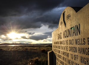
Catch a Sunset At Sand Mountain
1 mi / 600 ft gainThe Sand Dunes are located along "The Loneliest Road in America" US-Hwy 50, 85 miles east of Reno, Nevada. The 650 foot high, and almost 5,000 acres of rare dunes are literally in the middle of no where. From Fallon, Nevada on US-Hwy 50, head east for 25 miles until you see the dunes just off the...Read more

