Nevada
Looking for the best hiking in Nevada? We've got you covered with the top trails, trips, hiking, backpacking, camping and more around Nevada. The detailed guides, photos, and reviews are all submitted by the Outbound community.
Top Hiking Spots in and near Nevada
-
Clark County, Nevada
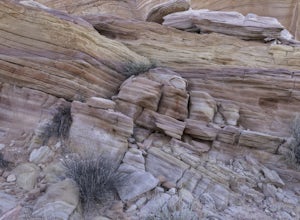
Hike to Pink Canyon in Valley of Fire State Park
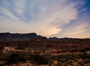
4.02 mi / 180 ft gainValley of Fire is a place that will exceed your expectations. It’s kind of small but packs a punch. Just an hour outside of Vegas, it’s the perfect retreat for anyone who is in need of a reprieve from the city lights.Anyone who has heard of this park is likely familiar with the Fire Wave . What y...Read more -
Clark County, Nevada
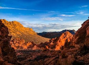
Hike the Pinnacle Loop in the Valley of Fire
5.0Pinnacle Loop is an unmaintained poorly marked trail leading to a cluster of sandstone towers, hidden close to some of the more popular areas of the Valley of Fire like Atlatl Rock and a campground.Getting TherePinnacle Loop shares the same trailhead as the popular Atlatl Rock picnic area and pet...Read more -
Baker, Nevada
Wheeler Peak Campground in Great Basin NP
3.5Located on the Nevada/Utah border about 4 hours from Salt Lake City, it's a hidden gem! Wheeler Peak is Nevada's second highest mountain at just over 13000ft and provides the backbone of the park. A beautiful winding road takes you almost to the top of Wheeler from the bottom of the valley (arou...Read more -
Pioche, Nevada
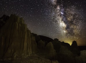
Camp at Cathedral Gorge SP
5.0Cathedral Gorge seems like a hidden gem. There aren't many people who visit so if you go, you should have plenty of room to do as you wish. The Gorge was created through volcanic activity millions of years ago which spewed ash into mounds that were filled with water and faulted into the many vall...Read more -
Carson City, Nevada
Marlette Lake via Chimney Beach Trailhead
4.05.96 mi / 1713 ft gainThis trail starts right off NV28 between Chimney Beach and Great Tahoe Beach. Around 30 minute drive from South Lake Tahoe and the CA/NV border, we arrived close to 10am with plenty of parking available. While it seemed the trail was heavily used by mountain bikes, we encountered zero during our ...Read more -
Reno, Nevada
Jones Whites Creek Loop
5.09.65 mi / 2405 ft gainStarting at about 6500 ft of elevation Jones Creek Trail is a 9.2 mi loop trail starting in Galena Creek Park. The park itself is very accessible off of Mt. Rose Highway, parking is free, and there is plenty of it during a typical weekend. When entering the park simply follow the signs that say "...Read more -
Clark County, Nevada
Camp at Boxcar Cove
0 mi / 0 ft gainThe shoreline of "Lake" Mead is what you would expect of a large, man-made reservoir with fluctuating water levels (muddy & unpleasant), but that is not to say that the Lake Mead National Recreation Area is not filled with incredible places to explore (it is), and Boxcar Cove is a solid spot ...Read more -
Las Vegas, Nevada
Bouldering at Kraft Boulders, Red Rock
0.25 miDrive through Calico Basin near Red Rock Canyon Conservatory Area, and park at the end of the road. (The parking lot is pinpointed above) Once you're out of your car, you'll see the Cube. It's a 25 foot boulder, with both easy and extremely difficult climbs on it. Head toward the Cube (toward the...Read more -
Stateline, Nevada
Stroll through Rabe Meadows
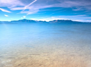
1.5 miRabe Meadows is a tranquil and peaceful stroll next to Burke Creek as it flows to Lake Tahoe and Nevada Beach State Park. Very easy 1.5 mile paved trail. Perfect when there isn't any snow and a short easy hike is in need. Take in the scenery and peacefulness and be happy to be outside.Read more -
Battle Mountain, Nevada
Desert Photography Exploration
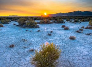
5.0The central area of Nevada is a desolate area great for night Milky Way photography and exploring old homesteads. Armed with good GPS maps and tires you can explore the low lands and the mountain tops approaching 10K in elevation. From Battle Mountain, drive south on Hwy 305 and take your pick o...Read more -
Boulder City, Nevada
Hike the Railroad Tunnel Trail
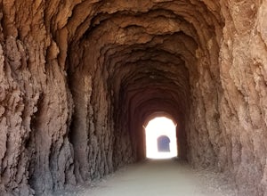
3.77.2 mi / 1332 ft gainThese tunnels were built to support the construction of the Hoover Dam. If you decide to go all the way to the dam, there is an elevator for accessibility along with stairs. This hike is relatively flat, and perfect for children - but mind the distance. Driving directions: From Las Vegas, NV, t...Read more -
Clark County, Nevada
Hiking Charlie's Spring in The Valley of Fire
6.7 miCharlie's Spring is a small oasis in the Valley of Fire State Park just outside of Las Vegas, Nevada. The unmarked trail is flat and follows a wash for 2.5 miles down dry sandstone waterfalls, a small slot canyon and ends in a small spring surrounded by cattails and bushes, a start contrast to th...Read more -
Boulder City, Nevada
Hike the Boy Scout Hot Spring Trail
5.07.6 mi / 3297 ft gainThis trail is also accessible from the Colorado River just below the Hoover Dam. Walk through wash from the river then enter a slot canyon and encounter numerous waterfalls. There are anchored ropes to assist in climbing up some of the waterfalls. The trail features a hot spring, and is typical...Read more -
Henderson, Nevada
Hike the Summit of Black Mountain
4.56.75 mi / 1910 ft gainThis hike is cool because you park in a residential area and follow the (paved) anthem east trail for about 3/4 of a mile before you hit dirt. Once you do though you start to climb quickly and every time you turn around the view gets better. I recommend and afternoon hike that would let you catch...Read more -
Zephyr Cove, Nevada
Castle Rock Loop
5.02.84 mi / 630 ft gainThis hike is located near Stateline, Nevada. The trail joins the Tahoe Rim Trail for part of the hike. Be aware that there will be snow on the trail from November - late May, early June depending on snowfall. Bring snowshoes / appropriate boots if you wish to use the trail in the winter. Experien...Read more -
Baker, Nevada
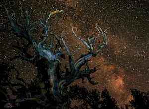
Hike the Bristlecone and Glacier Trail in Great Basin NP
5.04.6 mi / 1100 ft gainGreat Basin National Park is known for its unparalleled dark skies and stunning display of ancient Bristlecone Pines. This hike starts at 9,800 feet elevation and will ascend about 1,000 feet in elevation upon reaching the only glacier in Nevada! Great Basin is a desert, receiving less than 10 in...Read more

