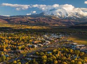
Crested Butte, Colorado
Top Spots in and near Crested Butte
-
Leadville, Colorado
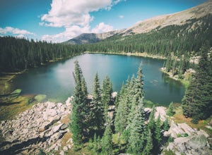
Colorado Trail: Mount Elbert Trailhead to Twin Lakes
8.49 mi / 1099 ft gainColorado Trail: Mount Elbert Trailhead to Twin Lakes is a point-to-point trail that takes you by a lake located near Leadville, Colorado.Read more -
Meredith, Colorado
Ski Betty Bear to Skinner Hut
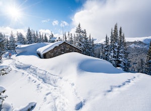
20.2 mi / 3650 ft gainBetty Bear and Skinner Huts reside deep in the Colorado backcountry surrounded by thick forests and snowy peaks. Both of these huts offer an opportunity for off-grid leisure and crowd-free skiing. The huts come stocked with padded mattresses, wood stoves & fuel, propane burners, all cookware ...Read more -
Leadville, Colorado
North Mount Elbert Trail
4.59.07 mi / 4432 ft gainStart your trip at the North Elbert Creek trailhead, reached by taking Colorado 300 just south of Leadville, and then a left on County road 11 and a right on Halfmoon Creek road. The dirt road to the trailhead is well traveled. The trail begins from the parking lot and winds upwards past 2 clear...Read more -
Twin Lakes, Colorado
Camp at Twin Lakes' White Star Campground
4.5This area is located on the other side of Independence Pass from Aspen, which is only accessible during the summer, or can be reached year-round via Leadville, which is about 20 miles away along Highway 24. From Twin Lakes Village drive approximately 1.5 miles east on Highway 82 and take the exit...Read more -
Buena Vista, Colorado
Mount Elbert via the Southeast Ridge Trailhead (Winter Route)
13.48 mi / 4885 ft gainClassic Route to the Summit of Colorado's highest peak Great for All Seasons this is the Recommended Winter Route with minimal Avalanche Danger. Known as the South Mount Elbert trail, the East Ridge trail or a combo of both, this trail is truly beautiful and remote. DIRECTIONS: To reach the t...Read more -
Buena Vista, Colorado
Camp at Mt. Elbert Forebay Reservoir
5.0At the base of Mt. Elbert there are three campgrounds. One is a National Forest campground - you have to pay for a spot and it is closed from October-May. The other two are first-come, first-serve free campground areas. As you drive past the south trailhead, right before the reservoir, there is a...Read more -
Buena Vista, Colorado
Photograph Cottonwood Lake, CO
0.1 mi / 1 ft gainWherever you are in Colorado, turn your route towards Buena Vista in South West Colorado - you will not be disappointed. To start, Buena Vista is a really cool town with great places to eat and visit. So make sure you check out the city before heading up Cottonwood Pass. When you are ready to hea...Read more -
Buena Vista, Colorado
Hike Mt. Harvard
14 mi / 4600 ft gainStart your hike at the North Cottonwood Creek Trailhead. The trail begins at the end of the parking lot. You'll cross a bridge and meander along the creek, eventually reaching another bridge crossing at about 1.5 miles.After this bridge, you'll reach a trail junction. Be sure to go right (towards...Read more -
Buena Vista, Colorado
Hike to the Historical Interlaken Resort
5.06 mi / 500 ft gainFollow Colorado Highway 24 South from Leadville for 14 miles, then turn right onto Colorado 82 towards Aspen. Turn left onto County Road 25, then follow the road for 1 mile to a small parking area for the Colorado Trail. You have arrived!This trail starts near 9,200 feet of elevation and while yo...Read more -
Carbondale, Colorado
Trail Run Mushroom Rock and Red Hill
5.03 miMushroom Rock sits high above Colorado Highway 82 overlooking the town of Carbondale. With huge views up the Crystal and Roaring Fork River Valleys, terrain that inspires more desert-Utah than Rocky-Mountain-Colorado, this recreation area feels like a getaway even when it is minutes from Main Str...Read more -
Leadville, Colorado
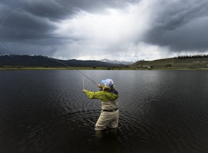
Fly Fish Crystal Lake
Crystal Lake is a beautiful lake (or could it be called a pond?), set in the shadow of the Rocky Mountain’s highest peaks, Mt. Elbert and Mt. Massive, can be found about six miles south of Leadville, CO on the west side of US 24. This lake holds a healthy trout population and is stocked regularly...Read more -
Leadville, Colorado
Savage Lakes Trail
5.03.97 mi / 1299 ft gainThe majority of this hike traverses through the beautiful forest that is part of the Holy Cross Wilderness. No significant views are to be had until you've climbed 1,300 ft over 2. miles and reach lower Savage Lake. The trail is easy enough to follow with no junctions along the way, and is adjace...Read more -
Basalt, Colorado
Hike to Eagle Lake, Colorado
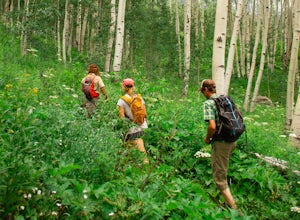
5.05.5 mi / 1036 ft gainIf you find yourself back in the Lime Creek area just outside of Eagle, Colorado and south of Sylvan Lake State Park - you should make the time to get yourself up to Eagle Lake! The hike starts off of Brush Creek Road and follows a property line in the forest of Aspens and towering wildflowers fo...Read more -
Salida, Colorado
Waterdog Lakes Trail
5.03.2 mi / 1056 ft gainWaterdog Lakes Trail is an out-and-back trail that takes you by a lake located near Salida, Colorado.Read more -
Turquoise Lake, Colorado
Escape to Turquoise Lake
5.0Turquoise Lake is an 'off the beaten path' gem only 3 hours from the Denver Metro Area. The area surrounding the lake is home to some spacious and tree-shaded campgrounds. If you plan ahead and book early, you'll have your pick of the best spots within close proximity to the lake. The campground ...Read more -
Leadville, Colorado
Ski or Snowshoe to the Weston Pass Hut
5.013.4 mi / 2400 ft gainYour trip starts at the winter trailhead for Weston Pass, approximately 6.7 miles from the hut. Depending on road conditions, you may be able to cut off a few miles by driving further up the road.In the summer, you can drive all the way to the hut, and enjoy a great basecamp for hiking and trail ...Read more

