Crested Butte, Colorado
Top Spots in and near Crested Butte
-
Aspen, Colorado
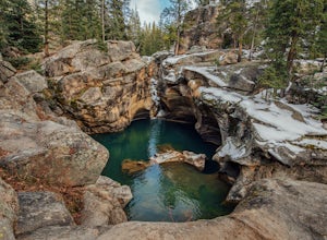
Devil's Punch Bowl
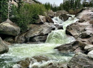
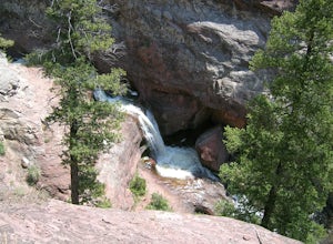
4.7The Roaring Fork River has several little waterfalls that end up in a deep swimming hole called The Devil's Punch Bowl. This is a must-see if you are driving up to the Independence Pass. I have never seen such blue water before (outside of an amusement park). While Driving from Aspen on CO82 to...Read more -
Aspen, Colorado
Grottos Trail
5.00.53 mi / 72 ft gainJust nine miles east of Aspen on Highway 82, Independence Pass, are grottos. A grotto is a geological term for a cave or cavern. The Grottos near Aspen were formed by rushing water of the Roaring Fork River. There is only an elevation gain of 300 feet on the three-quarters of a mile loop making...Read more -
Aspen, Colorado
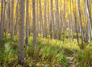
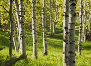
Explore Aspen's Foliage Along Government Trail
5.010 mi / 2193 ft gainThe Government Trail is beautiful and relaxing during spring and summer, but my favorite time to hike it is during fall because it goes through countless numbers of Aspen groves, which have turned a majestic yellow. After a moderate ascent for the first couple of miles, the trail become flat and ...Read more -
Aspen, Colorado
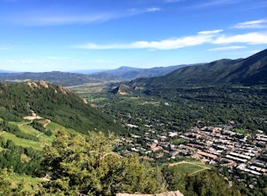
Ute Trail to Ute Rock
4.71.75 mi / 1122 ft gainThis shady trail of switchbacks ascends steadily (over a thousand feet in under a mile) to a rock outcropping at 9,185 feet. Yes, you can expect your heart to be pounding and to be huffing and puffing as you climb Ute Trail. But the view of Aspen that rewards you is spectacular. The trail is pre...Read more -
Aspen, Colorado
Hike to Spiral Point (Yin Yang), Snowmass
5.01.3 mi / 284 ft gainSnowmass Village is located 15 - 20 minutes west of Aspen Colorado off state highway 82. Once in Snowmass Village, take Brush Creek road almost to the top of the hill until the road splits with Divide road (If you have made it to the Snowmass Village mall, you have missed the road and must turn b...Read more -
Aspen, Colorado
Ski or Snowboard the Burnt Mountain Glades of Snowmass
5.03.5 miThis is part of the Aspen Snowmass Ski area so you'll have to buy a ski pass to take the lift up, or if you're up for a bigger workout, put some skins on and trek up to the top of Elk Camp. The easiest way to get there is to take the Elk Camp gondola to the Elk Camp lift. Once at the top of the l...Read more -
Aspen, Colorado
Ski the Rocky Mountain High Trail at Snowmass
This is part of the Aspen Snowmass ski area so you'll have to buy a ski pass to take the lift up. The easiest way to get there is to take the Village Express lift to the top and once you get off turn left. You'll ski down the "blue" trail, Max Park, to Trestle and end at the Sheer Bliss lift. Tak...Read more -
Aspen, Colorado
Downhill Mountain Bike the Verde and Viking Trails at Aspen Snowmass
3.8 mi / 1900 ft gainThe Verde and Viking trails at Aspen Snowmass resort are long winding trails perfect for beginners and intermediates. The trails are a combination of open and forest-lined paths varying from 1 to 6 feet wide. They both do a nice job of combining large wide turns where you can keep your speed to e...Read more -
Aspen, Colorado
Hike the Mayfly Trail, Snowmass
0.25 miLocated in Snowmass Village CO, this trail is nestled between Brush Creek and Brush Creek Road.Drive your vehicle to Clark's Market (16 Kearns rd Aspen, CO) and park in the lot facing down valley looking towards Woodbridge Condominiums. Along the edge of Clark's parking lot there will be a dirt t...Read more -
Aspen, Colorado
Camp on the Backside of Buttermilk Mountain
1.04 mi / 2000 ft gainPark at the Buttermilk Ski Area parking lot and begin your hike up the mountain at the bottom of the Summit Express chair lift. Follow the 4x4 dirt road the entire way up Buttermilk. There are other small hiking trails that you can follow too, and with the entire mountain being a ski area, it's s...Read more -
Carbondale, Colorado
Explore Hayes Creek Falls
3.50 miRight off of Highway 133 about 2 miles south of Redstone, lies a very easy-to-get-to Waterfall. Park your car off to the side of the highway, walk about 100 feet and you will find this glorious waterfall. The fall is best to see in the late Spring to early Summer. From late Spring, to early Summe...Read more -
Aspen, Colorado
McNamara Hut
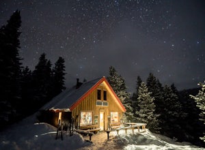
5.012.46 mi / 2631 ft gainMcNamara Hut sits in the national forest on the slope of Bald Knob, with easy access to intermediate backcountry skiing and more challenging terrain further away. Built in 1982, it's one of the original huts in the 10th Mountain Division system along with Margy's Hut. The hut comes stocked with...Read more -
Gunnison, Colorado
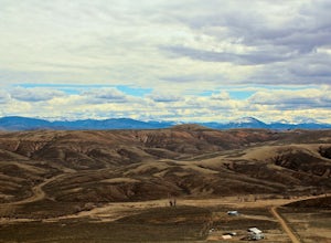
Camp at Hartman Rocks
3.0Just 3 miles outside the small south central town of Gunnison, Colorado lies Hartman Rocks recreation area. This 8000 acre open space includes 40 miles of single track trails as well as 33 miles of road. Camping at Hartman Rocks is the perfect way spend a relaxing night, or get an early start to ...Read more -
Gunnison, Colorado
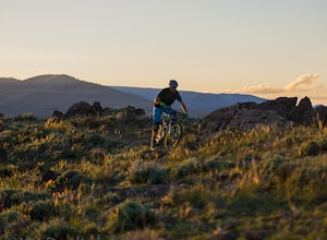
Mountain Biking in Colorado's Hartman Rocks
4.0Drive four miles south of Gunnison, Colorado and you'll find Hartman Rocks. Meet up with your friend at the parking lot at the base and head out with your bikes onto Jack's Trail, a singletrack trail that takes you onto the main routes through BLM land.Kiosks throughout Hartman Rocks have maps wh...Read more -
Aspen, Colorado
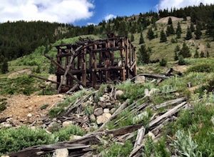
Independence Ghost Town
4.3Back in the late 1800s, Ashcroft, Aspen, and Independence were booming mining town. While Aspen is still thriving today, Ashcroft and Independence are ghost towns. Independence Ghost Town is on Independence Pass, 16 miles east of Aspen on Highway 82. The Farwell Mill sits right along the highwa...Read more -
Snowmass, Colorado
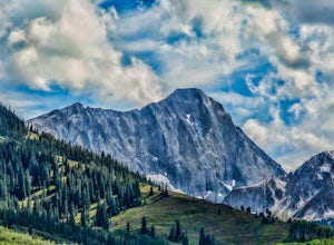
Capitol Lake via Capitol Ditch
5.012.28 mi / 2575 ft gainThe route to Capitol Lake is fairly straightforward, but not without its minor hardships. The route begins at the end of Capitol Creek Road, 9 miles from the small "town" of Snowmass (NOT Snowmass Village - that's the high-class ski resort). The last few miles of this road provide the first min...Read more

