Crested Butte, Colorado
Top Spots in and near Crested Butte
-
Gunnison County, Colorado
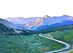
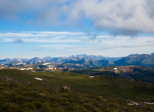
Take in the Views on Cottonwood Pass
4.7Starting in the town of Buena Vista, head west on E Main Street until it turns into State Highway 306. After about 40 minutes of driving and some winding roads the Continental Divide sign welcomes you to a gravel parking lot. You can get out and hike as you please, but the view from the parking l...Read more -
Gunnison County, Colorado
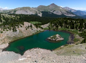
Hike to Lost Lake
4.22.4 mi / 600 ft gainThis Trail starts at about 11,200 feet right before the top of cottonwood pass. The trailhead starts at the LAST pull-off before you reach the top of the pass, so if you reach the top, you've gone too far. The hike isn't a super difficult one, but you will go through numerous streams and flooded ...Read more -
Buena Vista, Colorado
Mt. Elbert via Black Cloud Trail
4.510.69 mi / 4967 ft gainDirections: Heading south from Leadville from U.S. 24: West on CO 82 for 10.5 miles to a hidden right turn that leads to a trail head. If you make it to the Mt. Elbert Lodge, you have gone just a bit too far. The parking lot (aka: dirt access) should be relatively empty as everyone tends to hik...Read more -
Buena Vista, Colorado
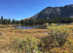
Ptarmigan Lake near Buena Vista
5.06.01 mi / 1608 ft gainWhen you begin the trail, make sure to choose the correct trailhead from the parking lot (located on the south side of the lot to the left, NOT behind the bathroom). From there, begin a moderate climb through a shaded fir forest to the tree line. Emerge in a meadow at a pond and the lower lake, ...Read more -
Buena Vista, Colorado
Hope Pass via Willis Gulch
5.08.75 mi / 3297 ft gainHope Pass is accessed from the Willis Gulch trailhead about 25 miles outside of Leadville, Colorado. To get to the trail head, follow Highway 24 East for about 16 miles until you arrive at the junction for Highway 82. Turn right and follow Highway 82 for about 8.3 miles. You will see a sign on th...Read more -
Buena Vista, Colorado
Mt. Belford and Mt. Oxford
4.510.34 mi / 5856 ft gainYou'll being your ascent at the Missouri Gulch Trailhead, which is located a few miles up Chaffee County Road 390, at around 9,600 feet. The trail is very clear and very well maintained, but is steeper than most trails (even quite a few of the 14er trails I've done) right from the get-go. Remembe...Read more -
Buena Vista, Colorado
Hike Missouri Mountain
5.010.5 mi / 4500 ft gainGetting there: The trail begins at Missouri Gulch TH. If you are a car camper or are trying to snag a sunrise summit, there are many many drive off sites in trees and near water before and after the trailhead. The road to get to the trailhead is not paved, but is well maintained - a super high cl...Read more -
Meredith, Colorado
Hike to Chapman Lake
1.6 miFrom downtown Basalt, drive up the Fryingpan River Road 28 miles and turn right on CR #504, also known as Elliot Way, just before Norrie Colony. Drive across the river and up the switchbacks for approximately 3 miles. Take the left fork, continue 1 mile and take the right fork approximately 1/2 m...Read more -
Carbondale, Colorado
Camp at Prince Creek
3.0From Colorado State Highway 82, turn south onto Highway 133 (toward Carbondale). Continue south past the Carbondale Main Street roundabout. After two miles, turn East onto Prince Creek Road. Follow this four miles to where the pavement ends. After passing through a cattle gate, BLM land lines the...Read more -
Carbondale, Colorado
Mountain Bike Prince Creek
Turn south off Colorado State Highway 82 onto Highway 133 toward Carbondale. Continue south past the Carbondale Main Street roundabout. After two miles, turn East onto Prince Creek Road. Follow this four miles to where the pavement ends. This is the best place to park to start biking or running.F...Read more -
Buena Vista, Colorado
Backpacking to Kroenke Lake
9 mi / 2750 ft gainStarting at the North Cottonwood trailhead just outside of Buena Vista, Colorado. This hike will take you 4.5 miles to the lake with about 2750 feet of elevation gain. The hike is mostly mellow and you'll likely see hikers heading up to Horn Fork basin to hike Mt. Harvard and Columbia. Campsites ...Read more -
Buena Vista, Colorado
Summit Mt. Yale
5.08.48 mi / 4232 ft gainThis amazing adventure starts at 9,900 feet and goes up 4,300 feet over the course of an 8.5-mile round trip. You will want to start at the Denny Creek Trailhead. If you are coming from Buena Vista or staying at the Collegiate Peaks Campground you will pass Denny Gulch and then Denny Creek. The ...Read more -
Leadville, Colorado
Mountain Bike the Colorado Trail near Mount Elbert
This is the way to see fall colors if you're into empty trails and endorphins. Grind up the trail starting from South Elbert Trailhead. You'll turn right onto the Colorado Trail at .3 miles and stay here for as long as you like, or 7.3 miles to the Mount Elbert Trailhead. Turn around and go back ...Read more -
Leadville, Colorado
Hike Mount Massive
4.8Starting from the Mt Massive Trailhead off of Halfmoon Creek Road (a half mile past the more popular Mt Elbert Trailhead), follow the excellent and easy trail into the woods. This trail is wide and abnormally flat for a 14er trail for the first three miles. During these first 3 miles the only rea...Read more -
Twin Lakes, Colorado
Kayak Twin Lakes
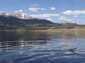
Twin Lakes are two bodies of water that are connected by a short run of water with a dam at the eastern end. There are a few different places to put in your boat including boat ramps by the access point on the east end of the lake. There is also a boat ramp and a place to seasonally rent boats by...Read more -
Nathrop, Colorado
Explore the St. Elmo Ghost Town
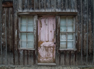
3.8If you're willing to go off the beaten path to a neat little ghost town, St. Elmo, Colorado is the place for you! About 2 and a half hours west of Colorado Springs, Colorado lies the town of St. Elmo, high up in the White River National Forest.The town itself was founded in 1880 when they discov...Read more

