Top Spots in and near Channel Islands National Park
-
Ventura, California
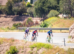
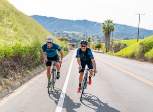
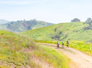
The Ventura - Ojai - Santa Paul loop is a classic half-century loop throughs some of the most beautiful cycling roads on the Central Coast.
Beginning in Ventura and heading on the off-road (but paved) Ventura / Ojai trails, this loop then heads into downtown Ojai before following Ojai Valley Road...
Read more
-
Ventura, California
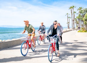
The Ventura Promenade is a .5 mile long biking and walking trail that runs from the Ventura Pier to Sufer's Point, eventually connecting to the Ventura River & Ojai Bike Trail. It is also part of the the larger "Omer Rains Trail" which runs some 3.5 miles to the south through Buenaventura Sta...
Read more
-
Ventura, California
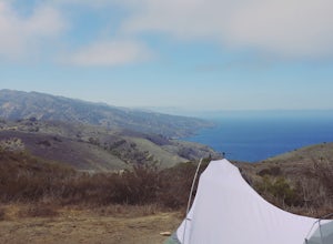
Del Norte Backcountry Campground is located on Santa Cruz Island, one of the islands that makes up Channel Islands National Park. It is California's largest island and is almost three times the size of Manhattan. The easiest way to get to the island is to take Island Packers, a ferry service that...
Read more
-
Ventura, California
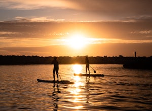
The Ventura Harbor provides a protected entry/exit to the Pacific Ocean and is a great place to start a paddleboarding adventure. Marina Park, at the end of Pierpont Boulevard, has a ton of parking, a free public launch, and there are boards to rent along the harbor.
From the launch you can head...
Read more
-
Goleta, California
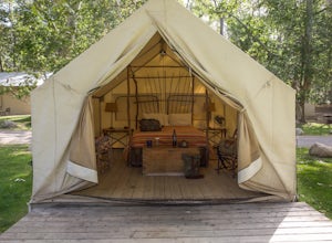
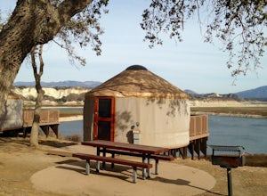
El Capitan Canyon is a gorgeous collection of permanent tents, yurts and cabins located across the highway from El Capitan State Beach and its campground. It's also the perfect place to ease your friends or loved ones into the world of camping. We all have that special person in our life who we'...
Read more
-
Ventura, California
The Santa Ana to Lake Casitas via Foster Park segment of Santa Ana Road is a gorgeous, 6.5 mile road that cuts through the heart of Ventura Canyon. Santa Ana Road eventually ends at Casitas Road and the Lake Casitas Recreation Area. From there you can go west over over the pass and down to the Ri...
Read more
-
Santa Barbara, California
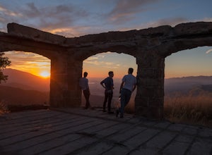
One of the many hidden gems near Santa Barbara, Knapp's Castle is an abandoned home built in 1916 by George Knapp. Finding the trailhead can be difficult because it's not clearly marked and the road it's starts from is long, winding and narrow. Coming from the 154, turn right on East Camino Cielo...
Read more
-
Ventura, California
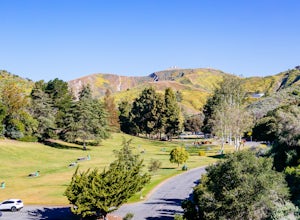
Arroyo Verde Park is a small parked tucked in the hills above Ventura, California, and has a network of trails running up and down the hills surrounding the valley in the center of the park.
The entrance to the park is at the intersection of Foothill Road Day Road, east of downtown Ventura. There...
Read more
-
Santa Barbara, California
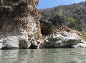
Red Rock Pools is a relatively popular swimming hole located along the Santa Ynez River about an hour outside of Santa Barbara, California. The trail to the swimming hole is relatively short, but more pools can be found if you follow the Gibraltar Trail down to the Gibraltar Dam (an additional ...
Read more
-
Ventura, California
The Sulphur Mountain Loop is a 28 mile cycling and mountain biking loop that begins in Ventura Canyon at the Sulphur Mountain Trailhead and loops through Ojai Valley.
Beginning at the Sulphur Mountain Road trailhead off Highway 33, follow the road up and over Sulphur Mountain and down until it co...
Read more
-
Malibu, California
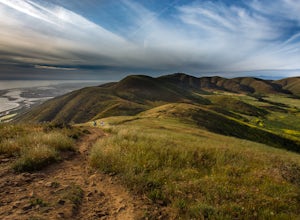
Point Mugu State Park offers some amazing rolling mountains, sweeping meadows of tall grass, and beautiful coastal views. I suggest going in the spring. I recently went, and the wildflowers were blooming everywhere. There are campgrounds available in different parts of the park that you can make ...
Read more
-
Malibu, California
5.0
6.5 mi
/ 1255 ft gain
From the parking lot at the trailhead, follow the steep trail going up the mountain. This part is quite challenging, so I recommend stretching out your legs before starting the hike.
Once you reach the top, you will see your first junction. Go right if you want to go straight for the peak, and th...
Read more
-
Santa Barbara, California
The campground here is extremely well developed and tightly run (for better or worse). The sites afford very little privacy: I recommend looking for the "Prime" campsites along the bluff, or choosing a weekday. If you can afford to spend a little extra, the park offers yurt rentals, which have th...
Read more
-
Ojai, California
Note: This trail is temporarily closed. For more updates, please visit the Forest Service website for more updates.
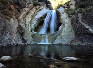
...If you've read most of my blogs, you'll probably notice I have a fascination for waterfalls! I've done this hike multiple times, but it wasn't until this day where I saw these ...
Read more
-
Gaviota, California
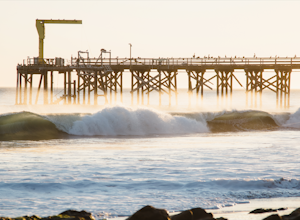
About 30 miles north of Santa Barbara on the 101 is a small state beach in the 90 person town of Gaviota. Most people pass right on through to San Luis Obispo or don't even make it past Goleta, but this gem is worth checking out either for a day trip or to camp for the weekend.Since it is a state...
Read more
-
Gaviota, California
5.0
2.37 mi
/ 577 ft gain
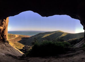
Caves and epic views...need I say more?! That's what you'll encounter on this short 2.5 mile out and back hike to the Gaviota Wind Caves in the San Ynez Mountains, West of Santa Barbara. The Gaviota Wind Caves are a sandstone formation located 1 mile from the Pacific Ocean. One good thing about t...
Read more

