Top Spots in and near Channel Islands National Park
-
Ventura, California
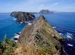
Leaving from either Ventura or Oxnard via Island Packers, this full-day hike is in the middle of the Santa Barbara Channel on a small island, about one hour from Los Angeles by car and one additional hour by boat. Without a beach on which to anchor, your boat will pull into Landing Cove and idle ...
Read more
-
Santa Barbara, California
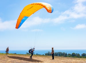
Santa Barbara is known for its incredible terrain. Paragliding at Elings Park is an amazing way to take in the gorgeous local scenery from an entirely new perspective. You’ll get your blood and adrenaline pumping as you challenge yourself to try something new under the watchful, expert eyes of th...
Read more
-
Carpinteria, California
There are 2 campgrounds close to Rincón, but Carpinteria State Beach is a little bigger and easier to find a spot. There are 4 campgrounds: Santa Cruz, Anacapa, San Miguel and Santa Rosa. Most of them are RV sites, but if you stay at Santa Cruz Campground you can set your tent right at the beach,...
Read more
-
Rincon Point, California
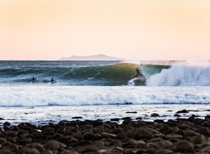
A cobblestone rocks cover a crescent shaped bay and a creek mouth spreads sand perfectly along the bay after a winter rain. Not to mention the indicator that refracts waves into the inside cove. It's no wonder famous surfers, such as Kelly Slater, Bobby Martinez, Tom Curren, Connor and Parker Cof...
Read more
-
Emma Wood State Beach, California
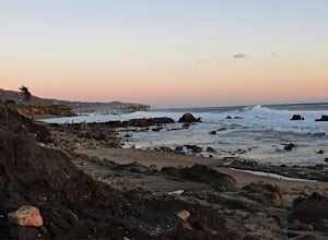
Park your car along the famous Pacific Coast Highway and watch the waves roll in. Go out surfing, kiteboarding, swimming, or kayaking. Emma Wood State Beach is a fairly exposed beach and reef break that has reliable surf. Summer offers the most-favored conditions for surfing.
Both breaks get cro...
Read more
-
Montecito, California
4.0
3.37 mi
/ 984 ft gain
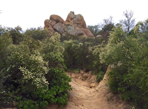
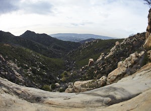
Begin at the trailhead in the parking area on E. Valley Road. You'll gain some elevation (don't forget your water). You'll know when you arrive at Saddle Rock--you can't miss this conspicuous rock formation. Enjoy the sights from here. If you plan carefully and hike up on a clear day, you may eve...
Read more
-
Montecito, California
5.0
2.67 mi
/ 883 ft gain
Cold Spring Trail Loop is a loop trail that takes you by a river located near Santa Barbara, California.
Read more
-
Montecito, California
4.5
1.15 mi
/ 886 ft gain
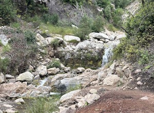
This waterfall can be fairly dry during the year, so keep your eyes out for a recent rainstorm to get things going. When you start the hike on East Folk Trail, at 0.25 miles, cross over the creek and join West Fork Trail. A little over another half mile, West Fork starts to head uphill, but you c...
Read more
-
Montecito, California
If you love the mountains above Santa Barbara but hate the crowds, stick to the canyon trails on the east side. The trails running up Cold Spring canyon offer a variety of experiences without all the noise.
To find the West Fork of Cold Spring Trail, take the Olive Mill Rd. exit from the 101 fre...
Read more
-
Santa Barbara, California
4.0
3.82 mi
/ 1109 ft gain
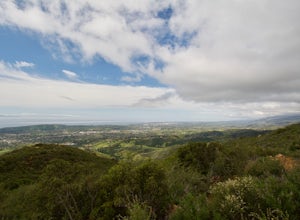
Hike up the 3.5 mile trail to an unbeatable vista that will leave you smiling! This hike has a steady uphill climb from the trailhead off of Tunnel Rd into Los Padres National Forest. Keep in mind this trail can get pretty crowded on weekends, so you're best to be at the trail early in the mornin...
Read more
-
Santa Barbara, California
Tunnel Trail is a great way to get to the top of La Cumbre Peak. You get to the trailhead by taking Tunnel Road until it dead ends at a large water tower, there you can park your car and start on foot. You take Spyglass Ridge Road up which is a paved fire road until it becomes dirt when you get o...
Read more
-
Ventura, California
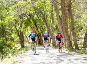
The Ventura River and Ojai Valley Trail, effectively the same trail, is a gorgeous 32 mile trail that runs from Seaside Park in Ventura to downtown Ojai. It runs along and across the Ventura River and through the Ventura Canyon, with views up and down numerous side canyons and ravines.
The trail ...
Read more
-
Ventura, California
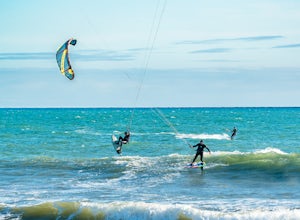
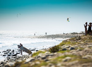
Surfer's Point aka Ventura Point is a well-known kite boarding/surfing (and surfing) spot due to its (when conditions are right) great wave quality, favorable wind direction (sideshore with occasional side-off), friendly locals, rider capacity, and a nearby point break with. When conditions are e...
Read more
-
Ventura, California
Surfer’s Point, off Figueroa Street, includes one of California’s premier surfing and windsurfing spots. A landscaped promenade and the Omer Rains Bike Trail connect this sandy beach to the Ventura Pier. Promenade Park, next to the beach commemorates the site of an ancient Chumash village. Beach ...
Read more
-
Ventura, California
1.0
48.9 mi
/ 3635 ft gain
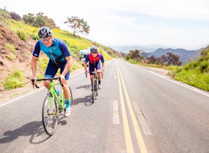
The Lake Casitas Loop s a fantastic cycling trail leading from Ventura, California through Ventura Canyon, around Lake Casitas and up over Casitas Pass, down through Rincon Canyon to the ocean and south on Rincon Trail back to Ventura.
It covers almost all of the ecological zones and topographica...
Read more
-
Ventura, California
5.0
28.4 mi
/ 720 ft gain
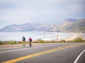
The Rincon Trail between Ventura and Santa Barbara is part of the wonderful Pacific Coast Bike Route, and features two-wave paved cycling lanes with beautiful views up and down the central coast.
There are numerous places to stop along the way for food and relaxing, including the great seaside to...
Read more

