Top Spots in and near Channel Islands National Park
-
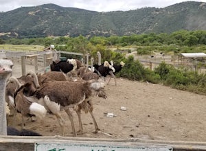
Solvang, California
Enjoy meeting ostriches and emus alike! Located just outside of Solvang, near Santa Barbara, you get the chance to stroll through a farm and feed the ostriches and emus. Entrance is free, but there is a fee to feed them. There are scenic hills and flowers all around the farm. This is a great ...
Read more
-
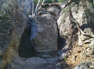
Malibu, California
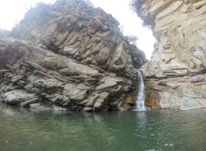
Who doesn't enjoy a hike that offers water, scenic views, boulder hopping and a subterranean cave? I know I do! The Grotto Trail begins at Circle X Ranch, which looks a bit like a small cowboy western store, and is approximately 6 miles from the Highway 1 (PCH). The parking is a tad tight, fittin...
Read more
-
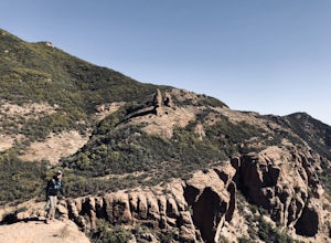
12869 Yerba Buena Road, California
5.0
7.06 mi
/ 1755 ft gain
Take Yerba Buena road to the trailhead. It is less zigzagged and shorter distance from PCH. Parking is easy provided that you start early in the morning. If the lot is full, you can always park on the side of the road. Bathroom is available at Sandstone Peak Trailhead parking lot, just 0.8 miles ...
Read more
-
Malibu, California
4.8
3.03 mi
/ 971 ft gain
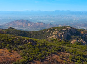
If you live in Los Angeles, Sandstone Peak is a must!
The hike to the summit can be done on a 2 mile hike up and back on Sandstone Peak Trail, or a 6.5 mile hike up and back on Backbone Trail. The shorter trail is more popular, yet both are equally rewarding. You won't believe the views from the...
Read more
-
Malibu, California
5.0
4.36 mi
/ 1125 ft gain
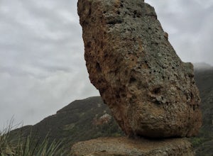
...From the PCH, make a left turn on Yerba Buena road (turn right if you're coming South) for about 6 miles until you get to the dirt parking area. If the lot is full, there's extra parking on the side of the road.
FYI, Balanced Rock can also be accessed by starting at the Mishe Mokwa trailhead,...
Read more
-
Santa Paula, California
3.6
6.5 mi
/ 1037 ft gain
This is a 6.5 mile trail, out and back. Parking is available along Ojai St, and the trail starts at the entrance of Thomas Aquinas College. Follow the paved road that goes around the school, until you reach a fork on the road, then stay right. The trail will take you through Ferndale Ranch, just ...
Read more
-
Westlake Village, California
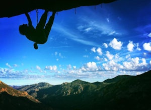
The hike to the crag is about 1.3 miles one way and takes roughly 45 minutes. The approach starts at the Backbone / Mishe Mokwa trail head off Yerba Buena Rd. After walking a couple minutes you'll see a sign pointing left for the backbone trail or straight for Mishe Mokwa. Continue straight and ...
Read more
-
Maricopa, California
5.0
3.51 mi
/ 627 ft gain
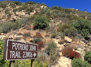
The Potrero John Trail is only 1.75 miles one-way, and is mostly used for hiking. It is right off Highway 33- driving north on the 33, the trailhead is on the right side of the street, right after the Potrero John Bridge (parking is fairly limited so the earlier you get there the better).
There ...
Read more
-
Ojai, California
5.0
0.68 mi
/ 256 ft gain
...It's not often that you come across 100 ft waterfalls. This moderate to easy hike to Rose Valley Falls leads you to one of the tallest waterfalls in the Los Padres National Forest. The hike begins at Rose Valley Campground. If you're not staying at a campsite, park outside the entrance of the ...
Read more

