Flagstaff, Arizona
Looking for the best hiking in Flagstaff? We've got you covered with the top trails, trips, hiking, backpacking, camping and more around Flagstaff. The detailed guides, photos, and reviews are all submitted by the Outbound community.
Top Hiking Spots in and near Flagstaff
-
Flagstaff, Arizona
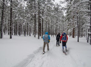
Snowshoe at the Arizona Nordic Village
2.5 miTo get to the Nordic Village from Flagstaff, just take the 180 North until you see the signs for the Nordic Village (on your right).Once at the Nordic Village, go inside the entrance building to buy your day pass ($10 for a snowshoeing day pass) and rent your gear. Feel free to bring your own sn...Read more -
Flagstaff, Arizona
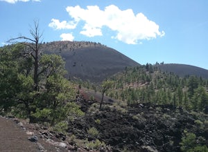
Hike the Lava Flow Trail at Sunset Crater Volcano National Monument
5.01 miGet started on the hike from the parking lot. The first quarter mile is paved and very easy to walk. The rest of the trail takes you to the base of the volcano through lava flows and tubes. This is an incredible landscape to take in along your hike.Read more -
Flagstaff, Arizona
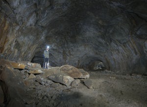
Explore Flagstaff's Lava River Cave
4.1If you’re looking for a truly unique hiking experience in Arizona, look no further than the Lava River Cave, 14 miles northwest of Flagstaff. The longest lava tube in Arizona, the cave was formed approximately 700,000 years ago after a volcanic eruption in Hart Prairie. As the lava from the erupt...Read more -
Sedona, Arizona
West Fork Trail
5.06.49 mi / 1102 ft gainThis is one of the most beautiful hikes in Sedona, Arizona. It is a fairly easy hike, although it is 6 miles roundtrip. A lot of families come here, and children love to play in the water. There are various stream crossings, but for most of them, you should be able to keep dry. The canyon walls ...Read more -
Sedona, Arizona
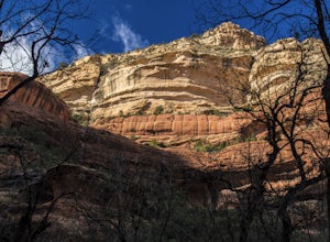
Climbing at Oak Creek Canyon
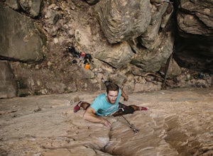
5.0Getting There About 18 miles south of Flagstaff on the 89A, turn into the Cave Springs parking lot and look for the trail just right of the first bridge. Hike up the chossy hill until you reach a giant sandstone slot canyon in the northwest. Climbing This canyon contained the crags, known as the ...Read more -
Flagstaff, Arizona
Camp at Pine Grove Campground
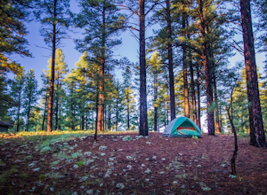
Pine Grove Campground in Flagstaff Arizona is a hidden gem. Upper and Lower Lake Mary, Ashurst, Marshall and Kinnikinick lakes are nearby and can provide ample recreational activities.The campsites are clean and have all the luxurious amenities (Coin-operated showers, tables, fire rings and cooki...Read more -
Williams, Arizona
Hike the Kelsey Spring/Hog Hill/Dorsey Spring Loop
13.4 mi / 2200 ft gainThis hike starts at the Kelsey Spring Trailhead. Park at the end of Forest Service Road 538G. There is parking for about 6-7 cars. Just past the signage for the trail, which is also called Kelsey Winter Trail, there is a trail registration box. Be sure to sign in. The trail descends steeply for t...Read more -
Flagstaff, Arizona
Camp at Ashurst Lake
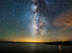
Ashurst Lake is South East of Flagstaff and not too far from Mormon Lake. It's an easy drive that any car can do. There is a a short section of well-maintained dirt road. Keep in mind the current fire regulations for the area as well as the lake's water level if you're panning to launch your boat...Read more -
6871 Arizona 89A, Arizona
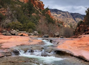
Explore Slide Rock State Park
4.6This beautiful State Park, which is the original location of the Pendley Homestead, is a historic apple farm (the apple trees are still there!). This is a favorite stop for families in the summertime, so if you come then, make sure to arrive early. It’s common to find throngs of people in the cr...Read more -
Sedona, Arizona
Brins Mesa - Soldier Pass Loop
5.07.6 mi / 1040 ft gainThis loop starts from Vultee Arch Rd. Important to note that doing this loop from here requires a high clearance 4x4. In this direction, the trail starts off flat and crosses a dry creek bed several times. The trail is relatively easy to follow. This section passes through junipers that offer som...Read more -
Sedona, Arizona
Hike Munds Mountain
6 mi / 1400 ft gainMunds Mt. is the highpoint due east of the town of Sedona, but due to its forested summit and trailhead accessibility limited to 4WD vehicles, it gets far less interest than hikes like Cathedral Rock, Wilson Mountain, or Fay Canyon yet has fantastic views of the town of Sedona and the surrounding...Read more -
Sedona, Arizona
Fly Fish Oak Creek
4.0Oak Creek is spring fed from the upper reaches of Oak Creek Canyon. It flows into the Verde River and the upper sections provide for some excellent trout fishing. The trout is stocked from Page Springs Hatchery, below this area the water becomes to warm for trout to survive. While in the area, yo...Read more -
Sedona, Arizona
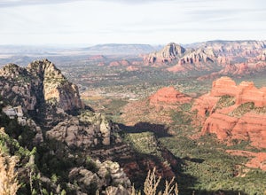
Hike to the Wilson Mountain Summit - South Overlook
4.59.5 mi / 2600 ft gainEver wanted to see Sedona from a bird’s eye view? Sure, you could spring for a helicopter tour. Or…you could hike Wilson Mountain Summit! No other location in Sedona will offer you a view that is so expansive and so breathtaking (and one where you are actually looking DOWN on the helicopters givi...Read more -
Sedona, Arizona
Wilson Mountain Trail
11.78 mi / 3051 ft gainWilson Mountain Trail is an out-and-back trail that takes you by a river located near Sedona, Arizona.Read more -
Sedona, Arizona
Hike to the Birthing Cave
5.02 mi / 291 ft gainThe hike is an easy one, flat and not too long. In the spring you'll see lots of flowers. Note, the popularity of this Sedona cave has grown in the past year, so you will most likely encounter other hikers and mountain bikers. You start from the Long Canyon Trailhead, and I recommend going earl...Read more -
Sedona, Arizona
Mescal Mountain Loop
4.59 mi / 453 ft gainThe Mescal Mountain Loop Hike circles Mescal Mesa uses three different trails. Park at the Mescal Trail parking area on Long Canyon Road. The Mescal Trail is 2.4 miles long and winds up to the base of the mesa where it travels along beautiful open slick rock. It is an easy hike but the trail is ...Read more

