Flagstaff, Arizona
Looking for the best hiking in Flagstaff? We've got you covered with the top trails, trips, hiking, backpacking, camping and more around Flagstaff. The detailed guides, photos, and reviews are all submitted by the Outbound community.
Top Hiking Spots in and near Flagstaff
-
Leupp, Arizona
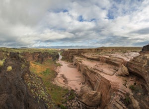
Grand Falls (CLOSED)
4.31.2 mi / 246 ft gainGrand Falls is closed indefinitely as of February 2023. Please visit leupp.navajochapters.org for more updates. Grand Falls is located about 30 miles northeast of Flagstaff Arizona in Navajo Nation. Even though its only 30 miles from Flagstaff you’ll still have about an hour drive to the falls...Read more -
Winslow, Arizona
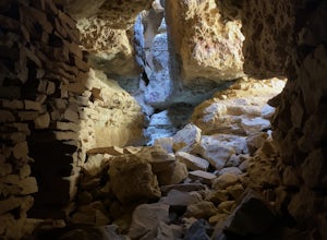
Apache Death Cave
0.42 mi / 23 ft gain...Just off Highway 40 in-between Flagstaff and Winslow Arizona, sits an abandoned ghost town called "Two Guns". I can't tell you how many times I've driven on the 40 (East or West) and had no idea this was here. This time around I made it a priority to stop and check this place out. For anyone t...Read more -
Yavapai County, Arizona
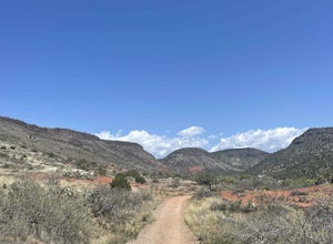
Bell Trail
7.12 mi / 591 ft gainBell Trail is an out-and-back trail that takes you by a river located near Rimrock, Arizona.Read more -
Clarkdale, Arizona
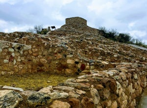
Hike the Tuzigoot Trail
4.50.5 mi / 55 ft gainSpend a couple of hours to discover the incredible legacy of an ancient people at Tuzigoot National Monument. Start at the Visitor Center, then take a self-guided, half mile loop trail that will lead around and through an incredible 110 room pueblo. The large building was home to the Sinagua peo...Read more -
Yavapai County, Arizona
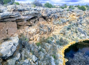
Hike to Montezuma's Well
5.00.5 mi / 117 ft gainThis trail takes you to the rim of Montezuma Well, a massive collapsed limestone sinkhole. The springs at the bottom of the sinkhole feed a large pond which supports a unique aquatic habitat in this dry landscape. Scientists are still baffled as to the origin headwaters of the water within this c...Read more -
Camp Verde, Arizona
The Bull Pen
5.01.87 mi / 92 ft gainThis trail starts at the end of Bullpen Rd and your adventure begins in beautiful thickets of trees and plants. The going is easy and the tempting sound of rushing water is on your right as you continue parallel to West Clear Creek. The trail will veer left up a rocky old service road but pay att...Read more -
Camp Verde, Arizona
Copper Canyon Loop Trail 504
5.03.75 mi / 384 ft gainCopper Canyon Loop Trail 504 is a loop trail that takes you by a waterfall located near Camp Verde, Arizona.Read more -
Camp Verde, Arizona
McDonald Trail
4.00.83 mi / 351 ft gainMcDonald Trail is an out-and-back trail that in Coconino National Forest located near Camp Verde, Arizona.Read more -
Happy Jack, Arizona
Car Camp the Mogollon Rim
4.8The Mogollon Rim is part of the Colorado Plateau in eastern Arizona above Payson. The rim stretches across the Coconino National Forest and at some parts drops off nearly 2,000ft. This area is ideal for over-night car-camping. The expansive vistas above thousands of acres of national forest land ...Read more

