Torrey, Utah
Top Spots in and near Torrey
-
Green River, Utah
Exploring Goblin Valley
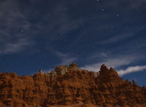
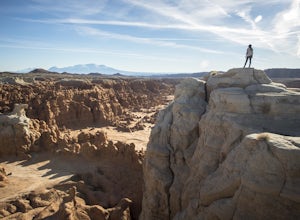
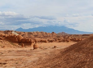
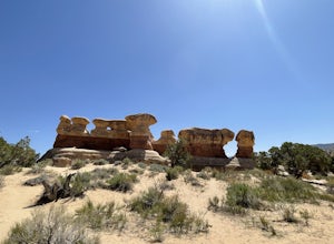
4.5Goblin Valley Can entertain you for 1 hour or 10. There are no established trails, so you are free to wander around the entire park. There are cliffs to climb, slot canyons to explore and hoodoos to discover. From the parking area, you descend about 100 feet into the valley. Once you are down the...Read more -
Green River, Utah
Camp at Goblin Valley
3.8Goblin Valley State Park is in a rural section of southern Utah, but if you type it into Google Maps you will go straight there. There are awesome campsites within the park but they require reservations. If you didn't take the time to reserve a campsite, don't worry, there is plenty of BLM land r...Read more -
Green River, Utah
Hike to Goblin's Lair and Carmel Canyon
4.53.18 mi / 433 ft gainThis beautiful, isolated hike also makes for a flexible route – very few places in Goblin Valley are off limits, allowing you to customize the adventure as much as you please. The hike begins on a rapidly descending trail, heading into the heart of Goblin Valley State Park. After a quarter mile ...Read more -
Monroe, Utah
Soak at Mystic Hot Springs in Monroe
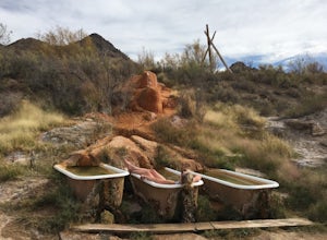
4.5The Mystic Hot Springs are truly a hidden gem in Utah. I convinced my boyfriend, after spending the weekend camping in Bryce National Park and mountain biking Thunder Mountain, that we needed to stop and soak on our way home to Park City. It really wasn’t that hard to convince him. I had already ...Read more -
Escalante, Utah
Covered Wagon Natural Bridge Trail
4.00.59 mi / 66 ft gainCovered Wagon Natural Bridge Trail is an out-and-back trail where you may see beautiful wildflowers located near Escalante, Utah.Read more -
Escalante, Utah
Zebra Slot Canyon
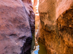
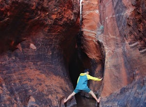
5.05.18 mi / 315 ft gainZebra slot canyon is located in the heart of Grand Staircase Escalante National Monument in southern Utah. The trail takes you through sandy washes to one of the areas most popular slot canyons to photograph and explore. The hike starts from the parking lot along Hole-In-The-Rock road. Hole-In-T...Read more -
Escalante, Utah
Zebra and Tunnel Slot Canyons Loop
4.86.63 mi / 535 ft gainThis place is just outside of Escalante, Utah, about 6 miles drive down the Hole in the Rock Road / BLM 200. You will see a small parking lot on the right side, the trailhead is not marked, but it's right cross the road from parking lot, once you see the trail you can just easily follow it for 1....Read more -
Sevier, Utah
Photograph Big Rock Candy Mountain
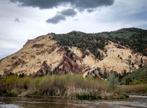
As you head south on Hwy 89 south of I-70 in central Utah, you wind through a picturesque canyon along the Sevier River. As the canyon opens up, Big Rock Candy Mountain's caramel colored hillside comes into full view. The caramel color is a stark contrast to the other mountains covered in pinion ...Read more -
Escalante, Utah
Devils Garden
4.01.01 mi / 131 ft gainDevils Garden is a loop trail that takes you past scenic surroundings located near Escalante, Utah.Read more -
Escalante, Utah
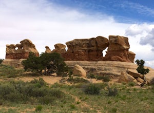
Explore Devils Garden
4.4This is a great area that the whole family can enjoy. It is located about 15 miles down the hole-in-the-rock road south of Escalante, Utah. There is a sign marking the turn-off. In the parking lot there is a restroom and a picnic area.You're free to walk among the hoodoos and even on them in some...Read more -
Garfield County, Utah
Canyoneering in Neon Canyon
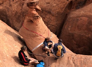
13 mi / 1000 ft gainThis is an 8-12 hour technical adventure that is usually done as an overnight backpack. Consider hiring a local guide service such as Excursions of Escalante or Escalante Outfitters! We did this as a self-guided excursion. A group is recommended because you may experience keeper potholes dependin...Read more -
Garfield County, Utah
Golden Cathedral Trail
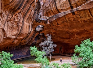
4.59.27 mi / 1398 ft gainFrom highway 12, drive south down the hole in the rock road for about 17 miles to a dirt road on the left that is well marked for Egypt. Follow that dirt road 9.9 miles to the Egypt Trailhead. There is a BLM trail register at the trail head. After that, take one of the numerous ways down to the E...Read more

