Monroe, Utah
Top Spots in and near Monroe
-
Monroe, Utah
Soak at Mystic Hot Springs in Monroe
4.5The Mystic Hot Springs are truly a hidden gem in Utah. I convinced my boyfriend, after spending the weekend camping in Bryce National Park and mountain biking Thunder Mountain, that we needed to stop and soak on our way home to Park City. It really wasn’t that hard to convince him. I had already ...Read more -
Sevier, Utah
Photograph Big Rock Candy Mountain
As you head south on Hwy 89 south of I-70 in central Utah, you wind through a picturesque canyon along the Sevier River. As the canyon opens up, Big Rock Candy Mountain's caramel colored hillside comes into full view. The caramel color is a stark contrast to the other mountains covered in pinion ...Read more -
Sevier, Utah
Cave of 100 Hands Trail
0.5 mi / 50 ft gainThe Cave of 100 Hands is a fascinating archeological/historical site that is easy all-ages and strollers. Over a thousand years ago, the valleys along what is now Interstate 70 near Sevier, Utah were home to the largest community of Fremont Indians ever discovered, and the Cave of 100 Hands has s...Read more -
Sevier, Utah
Camp at Castle Rock Campground
Castle Rock Campground is located within Utah's Fremont Indian State Park just off Interstate 70, which according to the camp host, is a favorite place to camp for people traveling between California and Colorado. At 6,200 feet in elevation, the temps are manageable in the summer, and the large ...Read more -
Sevier, Utah
Hike Joe Lott Trail #051
6.5 mi / 3600 ft gainThe Joe Lott Trailhead starts at Castle Rock Campground and follows the Joe Lott Creek which has tall old growth trees to provide shade in the summer. Joe Lott Trail #051 is an out-and-back, so you can go as far as you like and turn around. We went 1.5 miles and had to cross the river 3-times. At...Read more -
Sevier, Utah
Explore Castle Rock's Slot Canyons
0.25 mi / 200 ft gainSurrounding the Castle Rock Campground on the East and West sides are slot formations that have formed over centuries by wind and rain as it erodes softer earth from the harder rock. There are no designated trails, but footpaths are visible, follow them up and start exploring. This area is part o...Read more -
Millard County, Utah
Take a Dip in the Meadow Hot Springs
3.8These hot springs are located on private property but the owner allows anyone to come and take a dip. You can camp overnight and also have fires in the several pits near the pools. He just asks all the visitors to keep it cleaner than they found it and Leave No Trace of course. There are 3 differ...Read more -
Fillmore, Utah
Camp and Explore at Meadow Lava Tubes
4.41 miEXPLORE THE AREAThe entrance to the Lava Tubes is located in a rock pit near the NW base of Tabernacle Hill. The trail is not marked very well, so you'll have to use your best exploring skills to find your way. Once you have entered the first cave follow it underground for about 100 ft until it l...Read more -
Wayne County, Utah
Drive the Cathedral Valley Loop
60 miThese set of roads are classified as 4x4 high clearance vehical roads. Not to mention this part of the park is remote and only about 10% of visitors access it. To get to Cathedral Valley, we were recommended to drive a “loop” by the park ranger, that entailed about 60 miles of high clearance dirt...Read more -
Cathedral Road, Utah
Temple of the Sun
5.03 miCathedral Valley is a scenic backcountry area in Capitol Reef National Park. It is a remote, stark desert, characterized by amazingly beautiful sandstone monoliths that some say resemble cathedrals. Many of the valleys structures have interesting, highly descriptive names: Temple of the Sun, Temp...Read more -
Torrey, Utah
Capitol Reef's Sulphur Creek Route
4.85.87 mi / 1191 ft gainThis is a point-to-point hike that either requires a shuttle or 3 mile walk along highway 24. The starting trailhead is the Chimney Rock Trailhead which has limited parking. The ending trailhead is the Capitol Reef National Park Visitors Center. We only had one car so I dropped everyone off at th...Read more -
Torrey, Utah
Hike the Chimney Rock Loop, Capitol Reef NP
5.03.46 mi / 909 ft gainFrom the trailhead, the trek starts off pretty step. You will reach a fork near the top of the plateau which starts the official loop. At the junction go left (counterclockwise). The trail offers wonderful views along the way. The loop will bring you on top of "chimney rock" for views over Hwy 24...Read more -
Torrey, Utah
Sunset Point, Capitol Reef NP
2.53 mi / 1047 ft gainSunset Point Trail is an quick and easy 0.4 mile hike near the entrance of the park that provides you with beautiful views of the Capital Reef rim from the opposite side of the park. As the evening descends the setting sun illuminates the red rim rock formations giving them the best photographic ...Read more
Top Activities
Camping and Lodging in Monroe
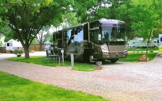
Richfield, Utah
Richfield KOA Holiday
Discover Utah's best-kept secret! Richfield KOA is in Sevier County - home of the Paiute ATV Trail - Utah's Trail Country. This extensive...
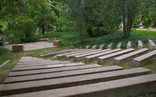
Kanosh, Utah
Adelaide Campground
Overview
Adelaide Campground is located in Corn Creek Canyon on the south end of the Pahvant Mountain Range near Kanosh, Utah.Recreation
...
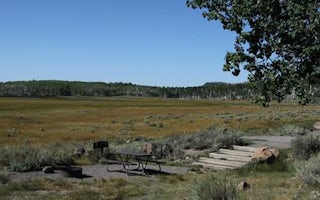
Richfield, Utah
Doctor Creek
Overview
Doctor Creek Campground is located next to Fish Lake in the Fishlake National Forest of central Utah. Visitors enjoy fishing, bo...
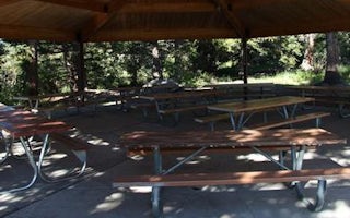
Richfield, Utah
Twin Creeks Picnic
Overview
Twin Creeks Picnic Area is is a day-use site located next to Fish Lake, Twin Creeks and the Fishlake Scenic Byway at an elevatio...
Richfield, Utah
Mackinaw
Overview
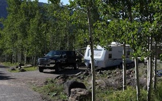
Mackinaw Campground is located next to Fish Lake and the Fishlake Scenic Byway in central Utah at an elevation of 9,000 feet. Vi...
Richfield, Utah
Bowery Creek
Overview
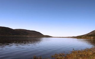
Bowery Creek Campground is located next to Fish Lake in the Fishlake National Forest of central Utah. Visitors enjoy boating, fi...


