San Juan County, Utah
Top Spots in and near San Juan County
-
Moab, Utah
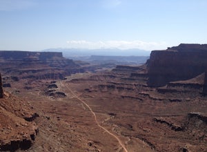
Mountain Bike Moab's White Rim Trail
5.0100 miThis trip can be done with an outfit or independently. The outfit Escape Adventures is highly recommended. They send two guides - one drives a pickup behind with all the camping gear. If you don't have the money or interest, however, it is possible to simply use panniers or a backpack to carry ev...Read more -
Moab, Utah
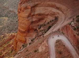
Mountain Bike the Shafer Trail in Moab
5.05 miThe best way to ride the Shafer Trail is to bring a support vehicle (one with 4WD and decently high clearance). If you're into a sufferfest, by all means climb your way out of there. You can also include it on a much, much longer ride like the White Rim Trail. But if you just want to experience t...Read more -
Moab, Utah
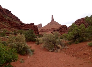
Hike to Castleton Tower
5.04 mi / 300 ft gainCastleton Tower is a popular destination for rock climbing when in the Moab area. However, if you are not a rock climbing, you can still enjoy the scenery of the tower and the surrounding desert. Located on BLM land, there are several access trails off the La Sal Loop road. You can't miss the tow...Read more -
Moab, Utah
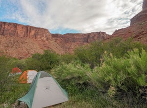
Camp at Oak Grove Campgrounds near Moab, UT
This a classic Moab area campground. Although you'll have neighbors nearby and a highway next to the site, it feels very secluded and quiet. You can sunbath on the sand and take a dip in the river to cool off/wash up everyday. It doesn't get much better than that. This is first-come, first-serve ...Read more -
Moab, Utah
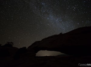
Night Photography at Mesa Arch
5.0From the parking lot, the hike is a .6 mile loop (20-30 min hike round trip). It took 10 minutes to get to the Arch. I arrived at 2am and hiked to the Arch to get some Milky Way shots, definitely arrive earlier to shoot the stars. I explored around when I got to the Arch and came up with a bunch ...Read more -
Moab, Utah
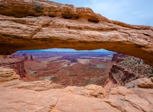
Mesa Arch
4.50.74 mi / 164 ft gainThis is an easy 0.6 mile loop. The hike takes you out to Mesa Arch, which is one of the most famous structures of Canyonlands National Park. If you're out with your camera, you can get amazing shots of the arch with the rugged canyon as your backdrop. Some of the best photos of the arch are at s...Read more -
Moab, Utah
Parriott Mesa Trail
2.83 mi / 981 ft gainParriott Mesa Trail is an out-and-back trail that takes you past scenic surroundings located near Moab, Utah.Read more -
Moab, Utah
Camp at Big Bend Campground
5.0This campground has three different campsites. All the sites are made for larger groups, so there has to be a minimum number of people to reserve a site. Site A is the largest, with the maximum capacity of 40 people. Site B fits 20 people and site C fits about 30 people. All the sites are non-ele...Read more -
Moab, Utah
Hike the Aztec Butte Trail
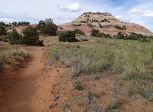
4.52 mi / 500 ft gainThe Aztec Butte Trail is a two pronged out and back trail for a total of two miles. The trail is single track and easy to follow. After a third of a mile the trail splits. To the left, a trail takes you to the top of a small mesa. There is an informative sign marking the way. On the other side of...Read more -
Moab, Utah
Park Avenue Trail
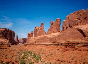
4.21.83 mi / 318 ft gainFrom the Park Avenue Trail parking area, you can walk up towards the lookout and admire the beauty, or you can hike down the steep path towards the canyon. The trail takes you down the wash to Courthouse Towers. You can either hike round trip to Courthouse Towers and back, or have someone drop yo...Read more -
Moab, Utah
Catch a Sunset at Green River Overlook
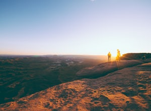
4.5Turn right on Highway 313 after Mesa Arch Trailhead and follow the road past Willow Flat Campground to Green River Overlook. Park at the parking lot. Climb over the railing onto the rock edge. Sit and breathe in that desert wind and distant sun. Simple as that.I recommend camping at Willow Flat t...Read more -
Monticello, Utah
Backpack Salt Creek
33 mi / 1000 ft gainThe Needles District of Canyonlands receives 6 times as many backpackers as its more popular neighbor across the Colorado River, Island in the Sky. The Needles has an excellent trail network that is incredibly diverse, featuring amazing rock features as well as grassy meadows and savannahs. Whil...Read more -
Moab, Utah
Photograph Arches National Park
4.9Located in Southeast Utah, 5 miles North of Moab, Utah. From Hwy 70, take Exit 182 towards Crescent Jct/Moab, taking Hwy 191 S for about 25 miles until you reach Arches National Park on your left.From the Visitor Center, the La Sal Mountains Viewpoint area is about a 4 mile ride on your right. Th...Read more -
Moab, Utah
Rappel Big Horn Canyon
3.5 mi / 500 ft gainThis canyon requires an Arches Canyoneering Permit, two 60m ropes, 100 ft of webbing, and your normal canyoneering kit. To reach the parking for the canyon, drive five miles or so into Arches until you reach a bridge. Shortly after the bridge, there will be a pull-off to the left where you can ...Read more -
Moab, Utah
Drive Long Canyon Road
5.0Moab is an outdoor mecca, from rock climbing to mountain biking to 4WD adventures and while not particularly technical (it is only rated Class 2) the 7.8 mile Long Canyon Road just north of Dead Horse State Park is an excellent way to get a taste for the incredible features (and views) that the C...Read more -
Moab, Utah
Drive through Scenic Castle Valley
5.0Going west on Highway 128 towards Moab, take a left onto La Sal Loop Road. And you're there! To get back to Highway 128, simply turn back on the same road. You can also take a right onto Porcupine Ranch Road, meeting at La Sal Loop Road again, eventually reaching Highway 128.During this drive, yo...Read more

