United States
Looking for the best running in United States? We've got you covered with the top trails, trips, hiking, backpacking, camping and more around United States. The detailed guides, photos, and reviews are all submitted by the Outbound community.
Top Running Spots in and near United States
-
Boulder, Colorado
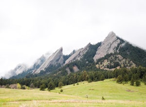
Hike to the 1st Flatiron
4.62.4 mi / 1422 ft gainStarting at the ever-popular and ever-populated Chautauqua Trailhead, take the main trail (a highway version of a dirt trail) straight towards the Flatirons. Continue going straight passed the Ski Jump trail to your right (0.2 mi.), then at a crossroads with the Bluebell-Baird trail (0.3 mi.) tur...Read more -
Austin, Texas
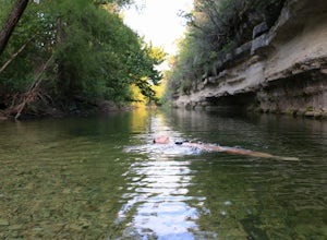
St. Edwards Park Yellow & Blue Trails
4.71.24 miSt. Edwards Park offers 2 main trails taking you along a creek, up hill trails with gorgeous views from atop a bluff, through exposed meadows filled with prairie grasses and cacti, and to a small swimming hole with a rope swing. The Creek Trail is a much easier, family friendly hike compared to ...Read more -
Portland, Oregon
Waterfront Park
4.52.68 mi / 79 ft gainLooking for a quick run along the water in the heart of Portland? Look no further. This relatively flat 2.6 mile loop runs right along the Willamette and features great views of the city’s bridges, river, the downtown skyline, and all of the fun people enjoying this urban park. From the Salmon S...Read more -
Foster, Oregon
Iron Mountain
4.71.79 mi / 610 ft gainGetting There There are a couple of different routes to the summit of Iron Mountain. This adventure article focuses on the shorter but more strenuous hike to the summit of Iron Mountain. To get there, drive to the upper trailhead (Trail # 3389) via Highway 20. Take Forest Service Road (FSR) 035 ...Read more -
Leadville, Colorado
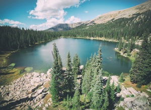
Savage Lakes Trail
5.03.97 mi / 1299 ft gainThe majority of this hike traverses through the beautiful forest that is part of the Holy Cross Wilderness. No significant views are to be had until you've climbed 1,300 ft over 2. miles and reach lower Savage Lake. The trail is easy enough to follow with no junctions along the way, and is adjace...Read more -
Redwood City, California
Hike Russian Ridge
4.54 miRussian Ridge offers a great place to jump on the trail and in the right season, see some of the best wildflowers blooming. On top of that, you get access to amazing views from the ridge. Once you hit your parking space, add a little extra warm up before jumping on the trail to make this 3.7-mil...Read more -
Kane County, Utah
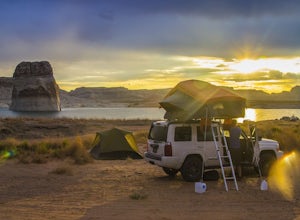
Beach Camp On Lake Powell's Lone Rock Beach
4.6Just twelve miles north of Page, Arizona on Highway 89 across the Utah border, Lone Rock Beach is a great open beach where you can drive right up and make camp anywhere you like. There is a $10 fee to get on the beach and it can get a little busy during the summer, but it seems like you can alway...Read more -
Los Angeles, California
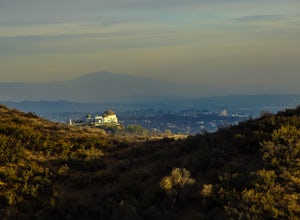
West Trail Loop
4.31.85 mi / 463 ft gainThe trail starts near Dell Picnic area, near the Trails Cafe. On this wide fire road, you can choose to run or hike, but don't expect to have the trail to yourself, especially if you're heading out on the weekend. With that said, you can time your run or hike around sunset and get amazing views b...Read more -
Atlanta, United States
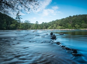
Hike along the East Palisades Trail
4.54.3 mi / 488 ft gainThe East Palisades trail is one of the only real hiking trails within Atlanta's perimeter. Although it boasts surprising beauty and great trails, relatively few people in the city are aware this trail even exists. As part of the Chattahoochee National Recreation Area, this section of forest is ...Read more -
Amboy, Washington
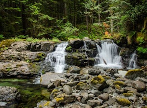
Siouxon Trail to 14 Mile Falls
5.013.03 mi / 2310 ft gainWhen you park at the top of the trail, all you see is layers and layers of emerald trees and ground clear of any underbrush. Once on the trail, you start on a rapid decline that brings you to the first of the many streams along this hike. Cross the bridge made out of logs and head towards the ma...Read more -
Boulder, Colorado
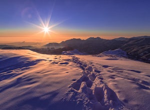
Catch the Sunrise on Sugarloaf
4.51 mi / 400 ft gainTo get there from downtown Boulder, head west on CO 119 and almost 4.5 miles after you have left Boulder, turn right onto Sugarloaf Road. 4 miles after the turn from CO 119, turn right onto Sugarloaf Mountain road (located at the top of the road). If the road starts descending, you've gone too fa...Read more -
Salt Lake City, Utah
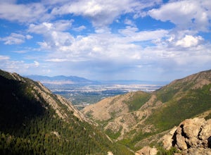
Salt Lake Overlook via Desolation Trail
4.14.76 mi / 1729 ft gainThis popular trail follows a portion of the Desolation Trail leaving from Mill Creek Canyon. The trail to the overlook is 4.75 miles round trip with a 1700 ft elevation gain. You begin at the Desolation Trailhead and then turn around once you have a view of the Salt Lake Valley. It is a perfect h...Read more -
Quincy, Washington
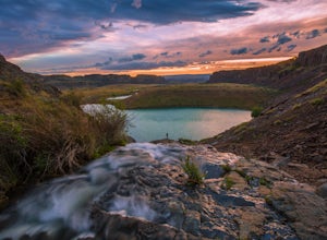
Ancient Lakes via Judith Pool
3.64.44 mi / 558 ft gainAll around you, waterfalls pour over cliffs as you gaze upon colorful lakes. If you're lucky, a coyote scampers by through a patch of wildflowers – it's just another beautiful day in the Ancient Lakes basin, a gem tucked along the Columbia River Gorge in Central Washington. From the parking lot,...Read more -
Telluride, Colorado
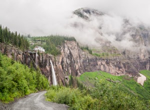
Hike to Bridal Veil Falls in Telluride
5.02.4 mi / 850 ft gainPark at the Pandora Mill just east of Telluride and lace up your footwear of choice. At 1.2 miles to the base of the falls with 850 feet of gain, this can make for a great thigh burning hike or run. The trail is a gravel road that eventually passes a gate to further trails up the Bridal Veil Ba...Read more -
Culver City, California
Culver City Stairs
4.11.32 mi / 344 ft gainThe Culver City Stairs are an outdoor staircase designed into the trails leading up to the Baldwin Hills Scenic Overlook. This particular staircase is uniquely constructed to blend into the landscape and is comprised of 282 uneven stairs. The stairs vary in height from 3 inches to nearly 2 ft...s...Read more -
Phoenix, Arizona
Hole in the Rock
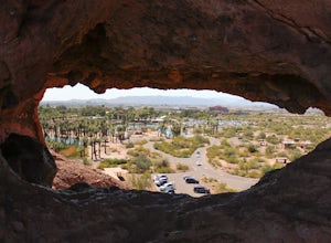
3.60.27 mi / 200 ft gainPapago Park is located right next to the Phoenix Zoo. The park is known for its rock formations and short hiking / running trails. The main attraction, the Hole in the Rock, at the top of the short trail, is a great place to take pictures as it is one of the highest points in the area and it off...Read more

