United States
Looking for the best running in United States? We've got you covered with the top trails, trips, hiking, backpacking, camping and more around United States. The detailed guides, photos, and reviews are all submitted by the Outbound community.
Top Running Spots in and near United States
-
Los Angeles, California
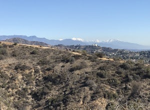
Runyon Canyon Loop
3.22.67 mi / 728 ft gainLocated in the Hollywood Hills, Runyon is an iconic workout run/ hike that can give you great views all the way to the ocean. There are a few different loop trails/ hikes you can take ranging from ~1.5mi to 3.25mi all with a decent amount of elevation gain. Also, remember this is Hollywood, so yo...Read more -
Phoenix, Arizona
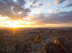
Piestewa Peak Summit
4.42.25 mi / 1050 ft gainPiestewa Peak, formerly known as Squaw Peak and conveniently located in the heart of the Phoenix metropolitan area, is a relatively short hike that yields impressive views of the city and is a perfect spot to watch the sunset. Piestewa Peak is a popular spot for locals who do not want to drive or...Read more -
San Francisco, California
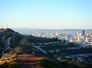
Mount Davidson
4.51.03 mi / 299 ft gainMount Davidson Park is located in the southwestern part of the city nestled between Diamond Heights and Portola Dr. The climb isn't too difficult, but to reach the top of the 928ft summit, you should wear close-toed shoes and be ready for some loose gravel or mud if it's been raining. The hike is...Read more -
Evergreen, Colorado
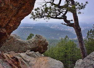
Hike Panorama Point at Corwina Park
4.72.7 mi / 640 ft gainJefferson County, the "Gateway to the Rockies" has dozens of great parks and trails. One of the best, however, is often overlooked, as it is sandwiched between bigger and more popular parks. Corwina Park is a small section located off Hwy. 74, near the village of Kittredge. Sitting between the po...Read more -
Los Angeles, California
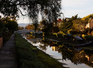
Venice Canals
4.32.77 mi / 30 ft gainThe canals are a fun and quiet place to relax away from the hectic Venice boardwalk. Take a stroll through the canals or even get in a run! The reflections in the water are the main attraction and are great for photography. Spring, after some rain, is the best time to go as the water levels are g...Read more -
Phoenix, Arizona
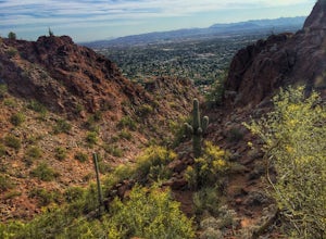
Echo Canyon Trail on Camelback Mountain
4.52.46 mi / 1214 ft gainIf you live near or around Phoenix, you know that Camelback Mountain is pretty hard to miss. Due to the mountain's height, this hike isn't exactly what you would call easy. There are two sides of the mountain you can hike, Echo Canyon and Cholla Trail. Echo Canyon is shorter, but still an extreme...Read more -
Aspen, Colorado
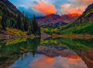
Explore the Maroon Bells & Snowmass Wilderness
5.0The beautiful and iconic Maroon Bells-Snowmass wilderness is home to some of the most amazing scenery and adventures to be had in all of Colorado. It is world-famous for the Maroon Bells, two challenging 14ers just outside of Aspen, Colorado. The third 14er, Pyramid Peak is also considered a clas...Read more -
Portland, Oregon
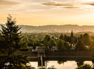
Mount Tabor Park
4.3Sitting 400 feet above the city with views of Mt. Hood and Portland doesn't sound to bad right?? Mount Tabor is located in Southeast Portland and is a once active volcano. There are 196 acres of park for you to explore. In order to photograph the best pictures of Mt. Hood I highly suggest gettin...Read more -
Cloverdale, Oregon
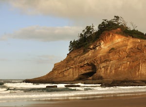
Explore Cape Kiwanda
4.8Cape Kiwanda is part of the Three Capes Scenic Route. It offers sea stack rock formations, beautiful beaches, sand stone cliffs, and if you are lucky enough, amazing wildlife. It is the home of the Pacific Dory Fleet.If you are early enough, you can catch the fisherman coming and going in the mys...Read more -
Moss Beach, California
Cypress Tree Tunnels at Moss Beach
4.50.79 mi / 105 ft gainThe Cypress Tree Tunnels are a quick jaunt from San Francisco (22 miles) and make for a great half-day trip. Getting here depends on traffic, but 30 minutes from the center of the city is doable. Parking is relatively easy. You can either park at the south end of the area at the Cypress Cove entr...Read more -
Cascade, Colorado
Manitou Incline
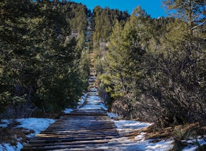
4.73.8 mi / 1949 ft gainIf you're ready for a fitness challenge like no other, look no further than the Manitou Incline. The trail climbs the remnants of an old cog railway bed, gaining 2000 feet of elevation in less than a mile. Busy all year round, the popular trail is used by everyone from Army Rangers and Olympic ho...Read more -
Scottsdale, Arizona
Tom's Thumb
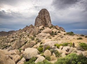
4.33.98 mi / 1236 ft gainThe infamous “thumb” can be seen from most places in the valley – a white burst of rock jutting skyward out of the desert ridgeline. The new Tom’s Thumb Trailhead in 2012 has nice restrooms and offers tons of information about the surrounding rock climbing areas, day hikes and desert knowledg...Read more -
Lyndhurst, Virginia
Backpack Three Ridges Loop
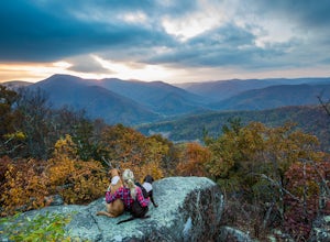
4.614.2 mi / 3960 ft gainFrom the parking area at Reids Gap, start off on the white-blazed A.T heading south as the trail begins on the left side of a clearing. You will begin climbing Meadow Mountain shortly and in .8 miles arrive at the top of the ridge, where you will continue on downhill for another .8 miles until y...Read more -
Colfax, California
Hike The Historical Stevens Trail
5.08 mi / 3376 ft gainBest known as one of the most popular hiking and biking trails to the North Fork American River, in part because of the easy access from Colfax. However, this is a remote trail, and hikers are advised to bring plenty of fluids as well as carry a whistle. The entire trail is primarily shaded, pa...Read more -
Salt Lake City, Utah
Grandeur Peak East Trail
4.45.97 mi / 2513 ft gainThis is the peak that can be seen from the valley located between Millcreek Canyon and Parleys Canyon. There are 2 trails that head up to this peak, but the one up Millcreek Canyon at the top of Church Fork is by far the more popular/enjoyable one (and the one described here). The other one heads...Read more -
New Harmony, Utah
Kolob Arch
4.713.86 miIn the lesser traveled area of Zion National Park sits Kolob Arch, a sandstone arch high up on a cliff tucked back in the canyon. To get to Kolob Arch take exit 40 on I-15 in Utah. You'll see a Zion National Park Visitor's Center. Here you can fill up on water, use the bathroom, and get a map to...Read more

