Brevard, North Carolina
Brevard, North Carolina offers a wide range of experiences and attractions that are perfect for exploring the area. From scenic hikes and trails to kayaking and fishing, there are plenty of options for outdoor adventures. The best trails and attractions in the area include the Davidson River Trail, the Transylvania Heritage Museum, the Catawba Falls, and the Pisgah National Forest. The Davidson River Trail is a popular spot for fishing, while the Transylvania Heritage Museum offers a unique look into the area's history. The Catawba Falls is renowned for its stunning views, and the Pisgah National Forest is ideal for camping and hiking. There are also plenty of other experiences and attractions in and around Brevard, North Carolina, making it the ideal destination for those wanting to get out in nature.
Top Spots in and near Brevard
-
Mountain Rest, South Carolina
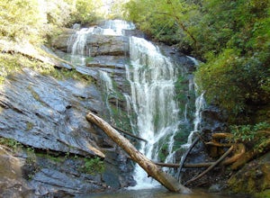
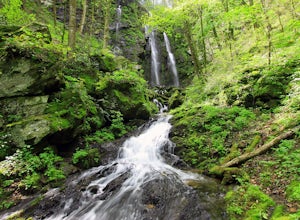
Hike to Kings Creek Falls
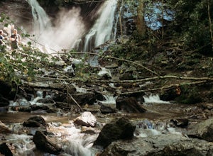
4.80.5 miThe trail to Kings Creek begins behind the bulletin board in the Burrells Ford primitive campground parking lot. It is an easy .5 mile trail to the falls. The falls are only 70ft high but they are beautiful, there is an area to the side of the falls with some nice sitting rocks and the area under...Read more -
Mountain Rest, South Carolina
Hike to King Creek Falls
0.6 miVery nice dog-friendly and family-friendly adventure! The hike is not long at all and the end result is a beautiful 70 ft waterfall with a pooled area at the bottom! Old logs are around for sitting on and relaxing while enjoying your lunch or snacks...Read more -
Easley, South Carolina
Doodle Trail
5.07.64 mi / 358 ft gainDoodle Trail is a point-to-point trail that takes you through a nice forest located near Easley, South Carolina.Read more -
Mountain Rest, South Carolina
Hike to Big Bend Falls
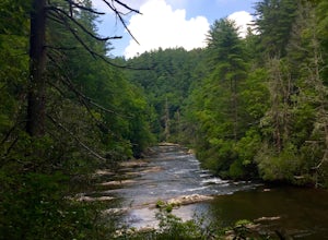
5.06.5 miThe hike to Big Bend Falls begins on the Chattooga River Trail at the Burrell's Ford Campground. To get here you take Burrell's Ford Road off of SC 107. There will be a good sized gravel parking area off to the left about 3 miles down Burrell's Ford Road. When you park the car you can walk down t...Read more -
Hendersonville, North Carolina
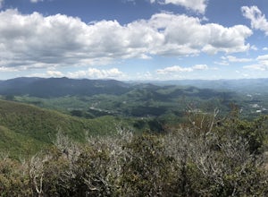
Hike along The World's Edge
0.7 mi / 40 ft gainPark at the end of The World's Edge Road, but be aware that parking is very limited. There is a private residence up to the right so do not block their driveway/gate. Begin your hike by going through the leftmost gate, and continue straight until you reach the first view less than half a mile in....Read more -
Sylva, North Carolina
Pinnacle in Pinnacle Park
5.05.98 mi / 2142 ft gainHeading out from the parking area, head north on this challenging hike. For the majority of the hike, you'll have a pretty steady uphill charge. There are some flat parts between climbs, so be sure to catch your breath and get some water in during these times. Once you reach the fork, where you'...Read more -
Asheville, North Carolina
Photograph Haw Creek Valley Overlook
The Haw Creek Valley Overlook is only 8 miles from downtown Asheville. If you're in the downtown area, it's a rather easy place to zip on over to if you're in need of some time away from urban life. This overlook is a hot spot for sunset watching and picture taking. If you plan on seeing what th...Read more -
Highlands, North Carolina
Photograph and Explore Bridal Veil Falls
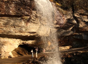
Bridal Veil Falls is located directly off of the road and is about a 100 feet tall in total. The falls makes for a great place to take pictures under the water falls. The falls itself is small and flows constant all year long getting to the bottom of the falls is not recommended because it is dan...Read more -
Maggie Valley, North Carolina
Soco Falls
5.00.09 mi / 0 ft gainThis double waterfall is located a mile and half off of the Blue Ridge Parkway in the Cherokee Indian Reservation. From the parking area, it's a short walk down a well-established trail to the viewing area of the falls. For an even closer view of the falls, you can follow a roped, steep path dow...Read more -
Lake Lure, North Carolina
Explore Chimney Rock
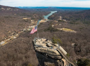
4.00.5 miChimney rock is a beautiful slab of weather granite that is visible from miles around. To get to this hike you'll want to head to Lake Lure in North Carolina, a beautiful lake located in the mountains of western North Carolina. Follow the signs for Chimney Rock and take the switchback road up t...Read more -
Lake Lure, North Carolina
Exclamation Point and Skyline Trail to Hickory Nut Falls
5.02.98 mi / 1204 ft gainExclamation Point and Skyline Trail to Hickory Nut Falls is an out-and-back trail that takes you by a waterfall located near Chimney Rock, North Carolina.Read more -
Tamassee, South Carolina
Hike to Lee Falls
4.01.6 miThe Hike: Head out through the middle of the first of three fields, crossing creeks two times as you come to them. At the end of the last field, the trail enters the woods. Hike through the woods for 0.3 mile and take the left fork, crossing a creek , and head toward the larger branch of Tamassee...Read more -
Lake Lure, North Carolina
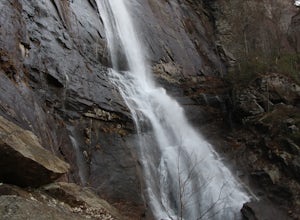
Hike to Hickory Nut Falls
5.02 mi / 200 ft gainThis waterfall is located inside of the Chimney Rock State Park. There is a fee of 15 dollars to go to the State Park but it is very worth it because of the beautiful scenery and beautiful views. The hike to the waterfall is partially uphill on the way. When you get to the waterfall there are a f...Read more -
Highlands, North Carolina
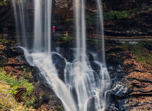
Explore Dry Falls, North Carolina
4.60.42 mi / 95 ft gainDry Falls is located off of Hwy. 64, which has been designated as the Mountain Waters Scenic Byway, and the road does not disappoint. Hwy. 64 is a two lane road which hugs the northern side of Cullasaja Gorge, which has been carved by the Cullasaja River. Besides Dry Falls, Hwy. 64 leads you past...Read more -
Highlands, North Carolina
Explore Cullasaja Falls
5.00.3 mi / 200 ft gainThis is an awesome waterfall that offers views from several different spots along the road as well as a quick hike down to the base! The small pull-off area is located towards the top of the falls. There isn't much space (3 maybe 4 cars at a time), but there are additional pull-off areas further ...Read more -
Greenville, South Carolina
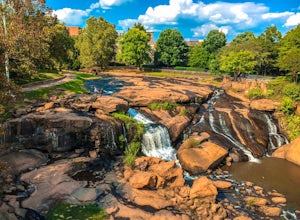
Hike Swamp Rabbit Trail to Reedy River Falls
4.53 mi / 100 ft gainSwamp Rabbit Trail is a 21 mile-long paved walkway that closely follows the Reedy River in Downtown Greenville. Over a half-a-million people visit the trail each year, but few ever walk the whole thing. What most people don’t know, is that it begins on a different river: the Enoree river and wind...Read more


