Aztec, New Mexico
Top Spots in and near Aztec
-
Mancos, Colorado
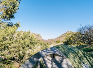
Camp at Morefield Campground
Morefield Campground is located 4 miles inside of Mesa Verde National Park. There are 267 sites in the campground, and it has tent-only loops. There are also 15 full-hookup RV sites, with many more able to fit RVs. Reservations are recommended, but are not required; the full-hookup sites are the ...Read more -
Mancos, Colorado
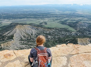
Explore Park Point in Mesa Verde National Park
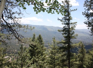
5.0The Park Point Trail is the highest point in Mesa Verde National Park, and being close to the four corners, you can see for hundreds of miles in every direction on a clear day. It's a very short walk from the car, and there are several nice lookouts along the way, but be sure to walk all the way ...Read more -
Mancos, Colorado
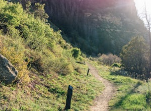
Hike Point Lookout Trail
5.02.3 mi / 400 ft gainThis trail is located within Morefield Campground in Mesa Verde National Park. The parking lot also serves as the parking lot for the amphitheater, so it's pretty huge - unless there's a program going on you shouldn't have to worry about finding a spot. The trail starts out nice and level, facin...Read more -
Mancos, Colorado
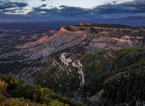
Hike the Knife Edge Trail
2 mi / 20 ft gainThe Knife Edge Trail leaves from a small parking lot located in Morefield Campground in Mesa Verde National Park. It's definitely an easy trail, but it is perfect for the entire family. It offers an unhindered view westward, so it is a prime place to catch the sunset in the park, especially if yo...Read more -
Farmington, New Mexico
Bisti Badlands Trail
5.05.46 mi / 269 ft gainBisti Badlands Trail is a loop trail where you may see beautiful wildflowers located near Newcomb, New Mexico.Read more -
Farmington, New Mexico
Camp in the Bisti Badlands
4 miAfter driving down some dirt roads to the marked location, park in the main parking area. Free car camping is allowed here. Look across the blank landscape to the east. A compass may help you keep your bearing while out hiking because there are no trails or trail markers. Exit the parking area by...Read more -
Farmington, New Mexico
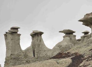
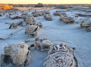
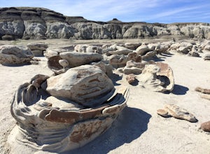
Explore Bisti Badlands/De-Na-Zin Wilderness
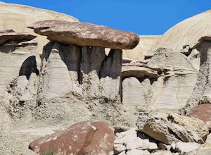
There are no trails or marked vista points in the wilderness so you're free to explore in any direction you please though the odds of stumbling upon anything interesting are fairly slim if you're just wandering around aimlessly. Most visitors heading to Bisti are usually on the hunt for the infam...Read more -
La Plata County, Colorado
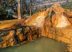
Soak at Pinkerton Hot Spring
5.0The Million Dollar Highway in Southern Colorado is a scenic mountain drive with many beautiful sights. Pinkerton hot springs is located on the side of the highway just outside of Durango, Colorado. There is a small pullout area for parking with a plaque explaining the history of the area and th...Read more -
Bayfield, Colorado
Cross country Ski around Vallecito Lake
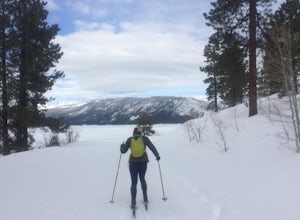
Drive north from Durango on Florida Rd, following signs to Lemon and Vallecito Reservoirs. Florida Road will turn into County Road 250. Follow this for 15 miles out of town until you reach County Road 501 - make a left turn here. Soon, you'll reach the dam. Turn right to begin driving around the...Read more -
Hesperus, Colorado
Summit Centennial Peak in the La Plata Mountains via Sharkstooth Trailhead
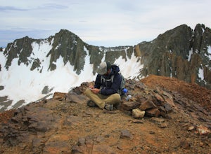
6 mi / 2162 ft gainFrom the western end of the town of Mancos, follow CR 42 north until it enters the national forest and becomes FR 561. Go right on FR 350 and keep right at any junctions (there are two of them) until you reach the signed Sharkstooth Trailhead about 19 miles from Mancos. Enjoy your drive through ...Read more -
Bloomfield, New Mexico
Ah-shi-sle-pah Trail
2.81 mi / 249 ft gainAh-shi-sle-pah Trail is a loop trail that takes you past scenic surroundings located near Nageezi, New Mexico.Read more -
Ship Rock, New Mexico
Explore Shiprock
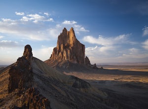
5.0Situated on the border of Arizona and New Mexico is an ancient throat of a volcano. You can see Shiprock for miles, as you approach the quiet New Mexico town. It's jagged edges and large spine, that extends to the South, cut straight out of vast flat landscape that surrounds it. You cannot miss i...Read more -
Durango, Colorado
Hike Goulding Creek
4.05.9 mi / 2122 ft gainThis trailhead is only about 15 miles from Durango on Highway 550. Look out for Glacier Club/Tamarron on your right, and soon after (about a mile) there is a small dirt turn-off on the opposite side of the highway. There is one other turn off on the west side of the highway in this stretch, but i...Read more -
Archuleta County, Colorado
Hike to the Piedra River Hot Springs
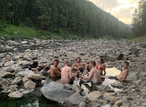
4.73 miAbout a 45 minute drive east of Durango, sits the trailhead for the Piedra River Hot Springs. This free use, natural hot spring on the Piedra River has several 100 degree pools. The springs are accessible via a 3 mile roundtrip hike, often with wildlife sightings along the way. The hike to the ho...Read more

