United States
Looking for the best cycling in United States? We've got you covered with the top trails, trips, hiking, backpacking, camping and more around United States. The detailed guides, photos, and reviews are all submitted by the Outbound community.
Top Cycling Spots in and near United States
-
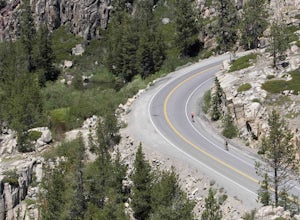
Emigrant Gap, California
33mi Loop to Donner Lake
33 miWe love this 33-mile loop on old Highway 40 from Cisco Grove to Donner Lake and back. It has just about everything: a few flats, a long slow pull, rollers, a screaming downhill, a tough Alpine climb and a long, cruising downhill. Not to mention altitude. The ride starts at a little above 6,000 fe...Read more -
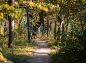
Austin, Texas
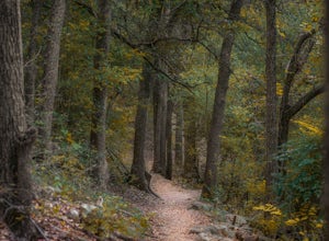
Hike the Shoal Creek Trail
5.05.47 mi / 173 ft gainThe Shoal Creek trail is located along the Shoal Creek Greenbelt which stretches the length of central/downtown Austin. It is a 5.4 mile out-and-back trail following along Shoal Creek. Much of the trail runs through residential area. And though it runs parallel to a creek, itis a city trail and n...Read more -
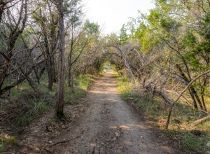
Liberty Hill, Texas
Hike the Good Water Trail
5.012.6 mi / 1270 ft gainThe Good Water Trail which is part of the larger Good Water Loop, is a 12.6 mile point-to-point hike. This trail is heavily trafficked by both hikers and mountain bikers alike. It's a great trail for scenic views, nature, and wildlife. Please be advised that the trail is severely rocky and uneven...Read more -
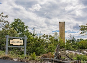
Lewes, Delaware
Camp at Cape Henlopen State Park
Located at the point where the Delaware Bay meets the Atlantic Ocean, Cape Henlopen is a 7,000 acre park which offers a unique combination of natural wonders and cultural history. During your stay, you can swim in the ocean waves, bike through the sand dunes, fish from the Bayside fishing pier, c...Read more -
Northfield, Illinois
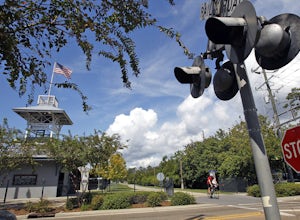
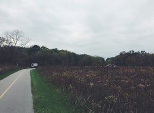
Bike the Skokie Lagoons North Loop
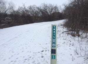
3.04.5 miStarting at Tower Road, the path follows the bridge east to Forest Way Drive. The path mostly follows the road, and the shoreline of the lagoons up to Dundee Road, where you turn back West. Once across the bridge, you then head south on the paved trail back towards Tower Road. The Route is marked...Read more -
New Orleans, Louisiana
Run The Audubon Park Trail in New Orleans
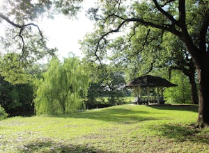
4.02 mi / 0 ft gainAudubon Park offers an oasis in the middle of the hustle and bustle of New Orleans. The park offers a 1.8 mile paved loop for running, biking, or taking the dog for a walk. The loop surrounds the Audubon golf course in the center of uptown New Orleans. Audubon Park is dotted with beautiful ponds,...Read more -
Lincoln, New Hampshire
Bike Franconia Notch Bike Path
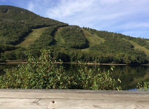
9 miFor the point to point option first drop a car off at one end of the trail then return to the other. The south end is located at the Flume Gorge Parking lot and the north end is at a parking lot located about a half mile off Route 93, Exit 35 which takes you onto route 3 (44°12'11.3"N 71°40'51.7...Read more -
Redlands, California
Run the Carriage Trail
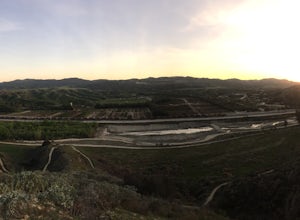
3.52.5 mi / 300 ft gainThere is room to park just off San Timoteo Road. On the other side of the trail is more parking off Alessandro. You can park your car on either side and start your run/walk/bike ride. This is a nice little "get away" trail to take a break from suburbia.Read more -
Austin, Texas
Hike the Great Hills Park Trail
2.31 mi / 127 ft gainThe Great Hills Park trail is a 2.3 mile point-to-point nature trail found within the Great Hills neighborhood of Northwest Austin. The trail is perfect for cycling, hiking, or just for taking a regular walk. The hike features a multitude of wildlife and is primarily shaded. There are several bat...Read more -
Covington, Louisiana
Ride along the Tammany Trace
4.028 miThe Trace is an old railroad line turned into a biking, hiking, horse riding, trail. Most of the corridor is 200-feet wide, traversing lush woods that form a canopy overhead. There are 31 bridges in peppered throughout the Trace, and many of them are magnificent timber bridges, once railroad tres...Read more -
Moran State Park, Washington
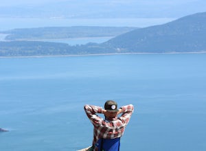
Camp at Moran State Park
Moran State Park is an true gem within the beautiful San Juan Islands. The park takes up a large portion of the East side of Orcas Island, the largest of all the San Juans. There are multiple campgrounds within the park along the shores of Cascade Lake and Mountain Lake. For the most relaxing exp...Read more -
Pioche, Nevada
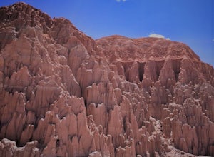
Cathedral Gorge Loop
5.03.38 mi / 226 ft gainAs you drive north up Great Basin Highway, you will pass the teeny town of Panaca before seeing the Cathedral Gorge State Park Visitor's Center on the left side of the road. After you take a left, follow the road down and to the right, pay the park fee and prepared to take in some funky formation...Read more -
Brookfield, Illinois
Salt Creek Greenway Trail
13.99 mi / 551 ft gainThis trail is almost 7 miles one-way (14 miles out-and-back) of paved path, makes for an ideal biking (especially those of us with road bikes), skating, and even running path. The trail runs out-and-back along the Salt Creek in Brookfield, IL. The trailhead is right near the Brookfield Zoo (for a...Read more -
Arco, Idaho
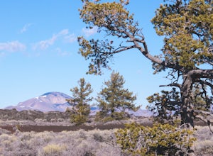
Bike the Loop Road at Craters of the Moon National Monument
7 mi / 500 ft gainBiking Crater of the Moon National Monument's seven mile loop road provides an intimate experience through a wild landscape.Park at the Visitor's Center. Grab a map and check out the interactive display explaining how Craters of the Moon was formed in the same tectonic event that birthed Yellowst...Read more -
Plain City, Ohio
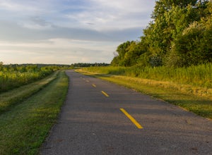
Run the Ironweed Trail in Glacier Ridge Metro Park
4.02.8 miFrom the main entrance on the north side of the park, the Ironweed Trail connects the northern, more wooded section of the park with the wetlands to the south. This 2.8 mile one-way trail is paved, making cycling, running, and hiking an easy activity. The topography of the park also makes it easy...Read more -
West Linn, Oregon
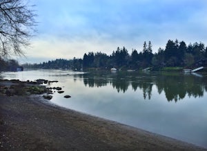
Run Old River Road to George Rogers Park
5.04.8 mi / 100 ft gainPortland and its surrounding suburbs are filled with trails and hidden treasures, including this stretch along the Willamette River. This road is a super popular pedestrian path and can be accessed from West Linn, the Mary's Woods and Marylhurst Development, or from Lake Oswego off of Highway 43....Read more

