United States
Looking for the best cycling in United States? We've got you covered with the top trails, trips, hiking, backpacking, camping and more around United States. The detailed guides, photos, and reviews are all submitted by the Outbound community.
Top Cycling Spots in and near United States
-
Okeechobee, Florida
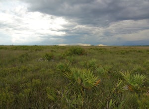
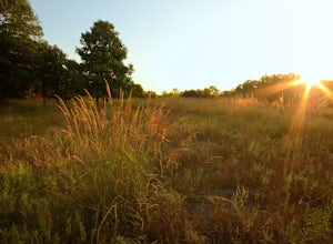
Camp at Kissimmee Prairie Preserve State Park
5.0Sweeping views of open sky and vast palmetto prairies greet visitors as they drive along the park drive. Here is one of the last remaining tracts of dry palmetto prairie, an ecosystem unique to Florida. This landscape is home to many rare species of wildlife, including the most endangered bird i...Read more -
Bend, Oregon
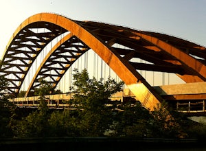
Ride the Twin Bridges Loop
4.5Starting and ending at Drake Park in the heart of downtown Bend, the Twin Bridges Loop is one of the most popular and scenic road cycling routes in Central Oregon.The Twin Bridges Loop covers 36 miles of rolling terrain and offers breathtaking views of the snow-capped Cascade mountains, rolling f...Read more -
Columbia, South Carolina
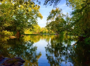
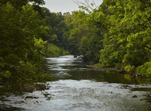
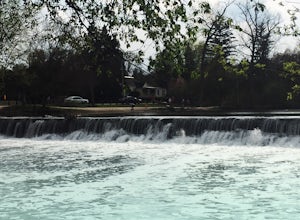
Explore Columbia Riverfront Park
4.55 miThis park is located alongside of the Columbia Water Treatment Facility. You are able to walk on the paved path that has mile markers every 1/4 of a mile. Or, you can hike along one of the nature trails placed throughout the park that run right alongside the river. Bikes are allowed anywhere alon...Read more -
Hood River, Oregon
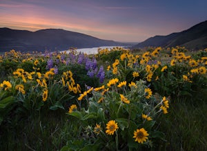
Bike from Hood River to The Dalles
2.040 mi / 2800 ft gainThe ride from Hood River to The Dalles is one of the best 20 mile stretches of road biking in Oregon, and arguably the best. The ride starts out in the wonderful town of Hood River - a tourist and adventure destination in its own right - and follows the historic Columbia River Gorge highway (US-3...Read more -
Valley View, Ohio
Bike along the Cuyahoga River via Lock 39 Trailhead
5.039.57 mi / 1804 ft gainThe best way to tack the Towpath Trail along the remains of the Ohio and Erie Canal is by peddling it. Start at the Lock 39 Trailhead going south toward the Botzum Trailhead early in the morning before the crowds to ride upstream is the best way to start. Located a little over a mile East of I-77...Read more -
Moab, Utah
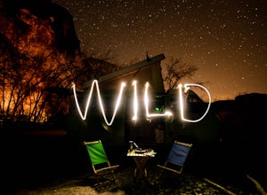
Camp at Williams Bottom Campground in Moab
4.0Williams Bottom Campground and its 17 first-come first-serve campsites are tucked into the side of the Colorado River Canyon on Utah Highway 279 aka "Potash Road" just 15 minutes from downtown Moab. It is commonly known as one of *the* rock climbing campground on the west side of Moab, as there a...Read more -
Cohoes, New York
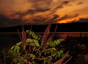
Capture a Sunset at the Colonie Town Park
5.0Not all adventures have to involve scaling crazy-steep mountains or paddling down intense white-water rapids. Some of the best adventures are the relaxing and mellow ones right in our backyards. When I cannot get into the woods every day, I go to the Colonie Town Park, just 10 minutes from my hou...Read more -
Cloudcroft, New Mexico
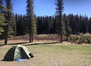
Camp at Bluff Springs
5.00 mi / 100 ft gainA mile up in elevation and only a few miles into Lincoln National Forest from Alamogordo, take off on the scenic Sunspot Highway that leads to the solar observation center before a short detour off a dirt road that arrives at Bluff Springs Waterfall (camping is free on all dirt roads). There you'...Read more -
Arden Hills, Minnesota
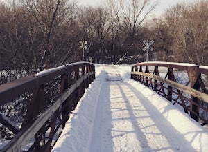
Bike the Rice Creek North Regional Trail
3.013.8 miThe Rice Creek North Regional Trail is 13.8 miles in total, but can be broken up into two different sections (connected by a 3.4 mile bike on county roads). The main trailhead is at 35W and County Road I. You will find the parking lot just after exiting on County Road I. This is the southern segm...Read more -
Oak Brook, Illinois
Run the Fullersburg Woods Loop
4.76 miThis is a six-mile loop along the banks of the Salt Creek in Oakbrook, IL. The flat trail features trees and wildflowers (great walk to do in autumn). Trail is also good for bike riders. There is a picnic area and the Graue Mill and Museum. Graue Mill is 150 years old and played a part in the Und...Read more -
Ogunquit, Maine
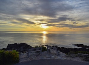
Watch the Sunrise from the Marginal Way Trail
5.02 mi / 70 ft gainPark near the Oceanside Oarweed restaurant or any other public spots on the cove's peninsula. Marginal Way is a nicely paved 1.25 mile out and back path, perfect for a morning walk or run on the rocky coast. Catch fishermen, lobstermen, and recreational boats as they leave, or choose to sit at on...Read more -
Charlottesville, Virginia
Hang Out At Riverview Park
4.5Riverview park has tons of options for getting outside around Charlottesville, VA. Part of the Rivanna Trail runs through here, so if you are really ambitious, this trail goes around the entire city. There are paved trails right along the river, so you can choose your activity. Running, biking, a...Read more -
Waukesha, Wisconsin
Bike or Run the Glacial Drumlin Trail (Waukesha to Wales Segment)
5.014 miYour journey begins at the Fox River Sanctuary and E.B. Shurts Environmental Education Center at 810 College Avenue in Waukesha, Wisconsin. Parking is plentiful, and you'll find restrooms and bubblers (or, water fountains to you non-natives) available seasonally. The Glacial Drumlin Trailhead is ...Read more -
Jekyll Island, Georgia
Camp on Jekyll Island
Jekyll Island State Park has the only affordable camping option in the "Golden Isles" of Georgia so it was an easy pick for us, especially while Cumberland Island is still out of commission from Hurricane Irma. Arriving on the island you will notice it is quite developed around the entrance but ...Read more -
Fairfield, California
Bike the Gordon Valley to Wooden Valley Scramble
5.013.5 mi / 498 ft gainThis is a 13.5 mile loop route in Fairfield, California. The route has a total ascent of 498 feet and has a maximum elevation of 369 feet.Begin your ride at the corner of Oliver Road and Mankas Corner Road. Along Mankas Corner Road you'll pass the Napa Grass Farmer community farm and Il Fiorello ...Read more -
Pāhoa, Hawaii
Bike to the Kalapana Lava Flow
4.09.85 mi / 341 ft gainWhen we chose to visit the volcanic big island of Hawaii, we knew that seeing an active lava flow was a must do. We decided to go at sunset and into the evening, as the lava flow would be spectacular under the dark night sky - we were right. Start by driving to Kalapana, south of Hilo, on the e...Read more

