Parlin, Colorado
Top Spots in and near Parlin
-
Parlin, Colorado
Roosevelt Mine
5.01.5 miAbandoned in 1919, Roosevelt Mine is a lost treasure of Gunnison County, Colorado. Exactly three miles outside the tiny town of Ohio City is the unmarked trailhead on the side of a road pull off for Roosevelt the mine. The trail is otherwise well established and easy to follow. The trail is a lit...Read more -
Gunnison, Colorado
Camp at Hartman Rocks
3.0Just 3 miles outside the small south central town of Gunnison, Colorado lies Hartman Rocks recreation area. This 8000 acre open space includes 40 miles of single track trails as well as 33 miles of road. Camping at Hartman Rocks is the perfect way spend a relaxing night, or get an early start to ...Read more -
Gunnison, Colorado
Mountain Biking in Colorado's Hartman Rocks
4.0Drive four miles south of Gunnison, Colorado and you'll find Hartman Rocks. Meet up with your friend at the parking lot at the base and head out with your bikes onto Jack's Trail, a singletrack trail that takes you onto the main routes through BLM land.Kiosks throughout Hartman Rocks have maps wh...Read more -
Salida, Colorado
Ride the Monarch Crest Trail
5.0The Monarch Crest Trail has been rated as an IMBA Epic ride and is for sure an epic ride especially ending the ride with the Rainbow Trail. The Monarch Crest Trail is best ridden as a shuttle and begins at the very top of Monarch Pass just outside of Salida or Poncha Springs, Colorado on highway ...Read more -
Salida, Colorado
Waterdog Lakes Trail
5.03.2 mi / 1056 ft gainWaterdog Lakes Trail is an out-and-back trail that takes you by a lake located near Salida, Colorado.Read more -
Gunnison County, Colorado
Winter Astrophotography at Taylor Reservoir
20 miles outside the south central Colorado mountain town of Almont lies Taylor Park Reservoir. The location is secluded and not penetrated by light pollution, making it a perfect place to photograph winter stars.When you arrive to your desired location by the edge of the reservoir you can begin ...Read more -
Nathrop, Colorado
Explore the St. Elmo Ghost Town
3.8If you're willing to go off the beaten path to a neat little ghost town, St. Elmo, Colorado is the place for you! About 2 and a half hours west of Colorado Springs, Colorado lies the town of St. Elmo, high up in the White River National Forest.The town itself was founded in 1880 when they discov...Read more -
Gunnison County, Colorado
Hike to Lost Lake
4.22.4 mi / 600 ft gainThis Trail starts at about 11,200 feet right before the top of cottonwood pass. The trailhead starts at the LAST pull-off before you reach the top of the pass, so if you reach the top, you've gone too far. The hike isn't a super difficult one, but you will go through numerous streams and flooded ...Read more -
Buena Vista, Colorado
Ptarmigan Lake near Buena Vista
5.06.01 mi / 1608 ft gainWhen you begin the trail, make sure to choose the correct trailhead from the parking lot (located on the south side of the lot to the left, NOT behind the bathroom). From there, begin a moderate climb through a shaded fir forest to the tree line. Emerge in a meadow at a pond and the lower lake, ...Read more -
Gunnison County, Colorado
Take in the Views on Cottonwood Pass
4.7Starting in the town of Buena Vista, head west on E Main Street until it turns into State Highway 306. After about 40 minutes of driving and some winding roads the Continental Divide sign welcomes you to a gravel parking lot. You can get out and hike as you please, but the view from the parking l...Read more -
Gunnison, Colorado
Hike the Dillon Pinnacles Trail
4 mi / 300 ft gainThe Dillon Pinnacles are a geologic phenomenon of southern Colorado. Volcanic eruptions formed the breccia rock into towering spires above the Sapinero Basin of Blue Mesa Reservoir. This packed dirt trail starts at about 7500 feet and climbs to a max elevation of 7800 feet. The four mile out-and-...Read more -
Crested Butte, Colorado
Drive Kebler Pass for Fall Colors
5.0Kebler Pass, or Gunnison County Road (GCR) 12, is an excellent place to see fall colors in Colorado. You won't get nearly as much congestion as on Independence Pass in Aspen, but you get just as many yellow and amber leaves. The road is dirt but passable by any vehicle–although because it's at ov...Read more -
Crested Butte, Colorado
Photograph Sheep along Kebbler Pass
5.0Fall time in Colorado is incredibly scenic, and if you drive up to Crested Butte, you may find herds of sheep being led down the mountains. Drive along Kebbler Pass in September and October, and look for these huge herds of sheep. Though it can be difficult to track them down, they make for amazi...Read more -
Salida, Colorado
Hike Mount Shavano and Tabeguache Peak
4.09.25 mi / 4600 ft gainStart out on the Shavano and Tabeguache Trailhead off of FR 252 outside of Poncha Springs, at about 9,700 feet, and begin your trek into the forest. In the first half of a mile there are a few trail marker signs that should be read carefully to insure the right path is followed, but these signs ...Read more -
2203-2407 County Road 12, Colorado
Camp at Kebler Pass
4.5Camping on Kebler Pass begins at around GPS: 38.89575, -107.214655. The pass is only available during the warmer summer months but is quite the treat. We went in August to catch an eclipse and the rolling free hills made it a great place to view from. You pass a reservoir on your way in where man...Read more -
Crested Butte, Colorado
Upper Westside to Crested Butte
5.010.92 mi / 2730 ft gainUpper Westside to Crested Butte is an out-and-back trail where you may see beautiful wildflowers located near Crested Butte, Colorado.Read more
Top Activities
Camping and Lodging in Parlin
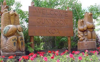
Gunnison, Colorado
Gunnison KOA Journey
"Come and watch the grass grow" is the slogan at the Gunnison KOA. Mom, Dad, children and dogs will enjoy camping on the 100% grass-cover...
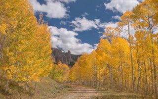
Gunnison County, Colorado
Lodgepole (Taylor River)
Overview
Lodgepole Campground is located 22 miles from Gunnison, COLORADO in the Taylor River Canyon. Visitors enjoy the area for its raf...
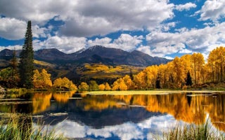
Gunnison County, Colorado
Lottis Creek Campground
Overview
Located in the Grand Mesa Uncompahgre and Gunnison National Forests, Lottis Creek Campground is at an elevation of 8,600 feet ab...
Gunnison, Colorado
Stevens Creek Campground
Overview
Stevens Creek Campground is on the north shore of the Blue Mesa Reservoir, the largest reservoir in Colorado and the most popula...
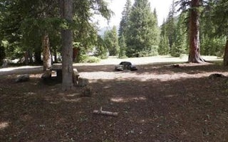
Salida, Colorado
Monarch Park
Overview
Monarch Park campground will not be taking reservations for the 2019 season to accommodate for tree removal due to the Spruce be...
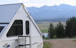
Gunnison County, Colorado
Lakeview Gunnison
Overview
Lakeview Campground is located on Taylor Park Reservoir, at an elevation of 9,400 feet. Visitors enjoy the area for its fishing ...


