Lodgepole (Taylor River)
Book this listing through our partner Recreation Gov
About Lodgepole (Taylor River)
Overview
Lodgepole Campground is located 22 miles from Gunnison, COLORADO in the Taylor River Canyon. Visitors enjoy the area for its rafting, fishing and trail opportunities.
Recreation
The Taylor River can be accessed from the campground, and offers a calm stretch for leisurely rafting and kayaking. Anglers cast for rainbow and brook trout.The Fossil Ridge Wilderness Area lies one mile south of the campground. The Summerville and South Lottis trailheads provide access to the scenic, natural area.
A number of off-road trails are found in the surrounding area, including Doctor Park Trail, Taylor River Trail and Taylor Vista Trail.
Facilities
The campground offers single-family campsites, each equipped with a picnic table and campfire ring. Vault toilets and drinking water are provided.Natural Features
The campground is situated in a dense stand of lodgepole pine trees, which provides shade and privacy between campsites. Summertime temperatures are warm during the day and cool at night.Nearby Attractions
Taylor Park Reservoir is located within 10 miles of the campground, offering boating, fishing and swimming. A boat ramp and boat rentals are available there as well.Lodgepole (Taylor River) Reviews
Have you stayed here? Be the first to leave a review!
Top Spots in or near Gunnison County
Winter Astrophotography at Taylor Reservoir
Gunnison County, Colorado20 miles outside the south central Colorado mountain town of Almont lies Taylor Park Reservoir. The location is secluded and not penetrated by light pollution, making it a perfect place to photograph winter stars.When you arrive to your desired location by the edge of the reservoir you can begin by taking pictures of the collegiate peaks. These 14ers (mountains above 14,000 feet) are part of th...
Roosevelt Mine
Parlin, Colorado
5.0
1.5 mi
Abandoned in 1919, Roosevelt Mine is a lost treasure of Gunnison County, Colorado. Exactly three miles outside the tiny town of Ohio City is the unmarked trailhead on the side of a road pull off for Roosevelt the mine. The trail is otherwise well established and easy to follow. The trail is a little more than a half mile long and boasts amazing views of both the surrounding mountains and Quartz...
Hike to Lost Lake
Gunnison County, Colorado
4.2
2.4 mi
/ 600 ft gain
This Trail starts at about 11,200 feet right before the top of cottonwood pass. The trailhead starts at the LAST pull-off before you reach the top of the pass, so if you reach the top, you've gone too far. The hike isn't a super difficult one, but you will go through numerous streams and flooded meadows (depending on the time of year). The view from the top looks straight down the valley and fr...
Take in the Views on Cottonwood Pass
Gunnison County, Colorado
4.7
Starting in the town of Buena Vista, head west on E Main Street until it turns into State Highway 306. After about 40 minutes of driving and some winding roads the Continental Divide sign welcomes you to a gravel parking lot. You can get out and hike as you please, but the view from the parking lot alone is more than worth the drive.Note: The pass in only open from late spring until early fall ...
Ptarmigan Lake near Buena Vista
Buena Vista, Colorado
5.0
6.01 mi
/ 1608 ft gain
When you begin the trail, make sure to choose the correct trailhead from the parking lot (located on the south side of the lot to the left, NOT behind the bathroom).
From there, begin a moderate climb through a shaded fir forest to the tree line. Emerge in a meadow at a pond and the lower lake, framed by towering peaks. This is a great spot for a picnic or for camping overnight (*please be sur...
Hike Huron Peak
Buena Vista, Colorado
5.0
6.5 mi
If you have a 4WD vehicle, drive 2 miles from Winfield along a dirt road to the trailhead. If you don't have a suitable vehicle, you can park before the road gets rough and hike the rest of the road to the trailhead.Starting at 10560 feet of elevation, this 6.5 mile roundtrip hike begins its 3500 foot elevation gain meandering through the San Isabel National Forest for a little over a mile unti...
Camping and Lodging in Gunnison County
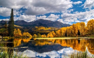
Gunnison County, Colorado
Lottis Creek Campground
Overview
Located in the Grand Mesa Uncompahgre and Gunnison National Forests, Lottis Creek Campground is at an elevation of 8,600 feet ab...
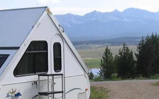
Gunnison County, Colorado
Lakeview Gunnison
Overview
Lakeview Campground is located on Taylor Park Reservoir, at an elevation of 9,400 feet. Visitors enjoy the area for its fishing ...
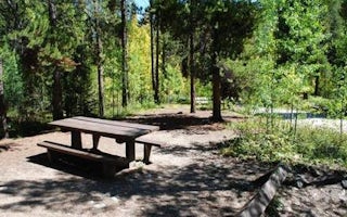
Buena Vista, Colorado
Collegiate Peaks
Overview
Collegiate Peaks Campground is located 11 miles west of Buena Vista, Colorado, along Middle Cottonwood Creek near the top of Cot...
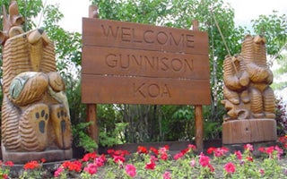
Gunnison, Colorado
Gunnison KOA Journey
"Come and watch the grass grow" is the slogan at the Gunnison KOA. Mom, Dad, children and dogs will enjoy camping on the 100% grass-cover...
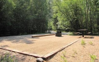
Nathrop, Colorado
Cascade (Colorado)
Overview
Cascade Campground is located in beautiful Chaffee County, Colorado. This popular facility sits near Cascade Falls and is within...
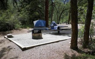
Nathrop, Colorado
Chalk Lake
Overview
Chalk Lake Campground is located in beautiful Chaffee County, Colorado. This popular facility sits near Chalk Lake and is within...
Unfortunately, we don't have up-to date pricing data for this listing, but you can check pricing through Recreation Gov.
Book NowAdd your business today to reach The Outbound's audience of adventurous travelers.
Community
© 2024 The Outbound Collective - Terms of Use - Privacy Policy


