Fountain, Colorado
Top Spots in and near Fountain
-
Colorado Springs, Colorado
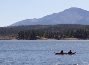
Paddle Rampart Reservoir
Rampart Reservoir is located off of Rampart Range Road and is boat accessible from Spring until Fall. It has a boat ramp for motorized as well as human powered boats. There are vault toilets nearby. It is a nice place to spend the day paddling at close to 9,000 ft elevation. Just be prepared for ...Read more -
Colorado Springs, Colorado
Hike Eagle's Peak (USAFA)
4.02.5 mi / 1100 ft gainThis is a short trail that goes very high in elevation. In about 1.25 miles you can go about 2000ish feet in elevation change. You need to wait till 9am to start the hike as it sits on the US Airforce Academy. It is definitely worth it. Bring shoes that can handle the rocky terrain.You take the f...Read more -
Cascade, Colorado
Photograph Rampart Range Road
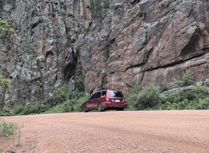
4.720 miFrom the starting point near Balanced Rock in Garden of the Gods, Rampart Range Road turns to dirt and begins a steady climb into the foothills west of Colorado Springs. Though dirt, the road is well-graded and perfectly suitable for passenger cars in good weather. As the road climbs, you'll trav...Read more -
Colorado Springs, Colorado
Camp along Rampart Range Road
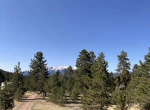
Along Rampart Range Road there are about 30 free BLM camping spots that offer scenic views of Pikes Peak and the surrounding forest. The road in is about 6 miles of gravel, however a 2WD Sedan was able to make the journey just fine! The camping spots are designated by a pre-existing fire ring and...Read more -
Divide, Colorado
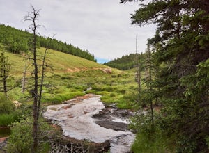
Hike to Horsethief Falls and Pancake Rocks
4.87.6 mi / 1400 ft gainHorsethief Falls and Pancake Rocks can be found on the west side of Pikes Peak, so if you want to get away from the crowds and the city, put this trail on your to do list.Most of the trail runs through the forest, which makes this an excellent candidate for hiking in July and August when the summ...Read more -
Divide, Colorado
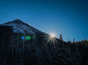
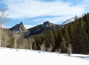
Snowshoeing to Sentinel Point
8 miSentinel Point is an appropriately-named 12,527-foot rockpile standing watch over the broad shoulder of the Pikes Peak massif. Rarely visited, especially in winter, you are almost guaranteed solitude on this high mountain snowshoeing adventure.Beginning at the Horsethief Park trailhead off CO Ro...Read more -
Divide, Colorado
Summit The Crags
4.67.9 mi / 1379 ft gainAs you drive past Mueller state park (on the right), about 1/4 mile down the road you will see a small wooden sign for "The Crags" You will take a left there and follow the road about 1.5 miles, past the first stop, which is the Raspberry Mountain Trailhead, until you come to a fork in the road a...Read more -
Pueblo, Colorado
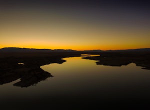
Catch Sunset on the North Shore Pueblo Reservoir
1.0The sunset is great all around the park, but if you're looking for a bit of an adventure and one of my favorite unknown spots follow along below: Entering the North entrance of the park turn right onto the gravel road right before entering the park gates. Continue down the gravel road through the...Read more -
Divide, Colorado
Hike to Raspberry Mountain
5.05.2 mi / 900 ft gainTake US-24 west and turn left at traffic light in Divide. Drive south on US-67 for about 4 miles. Turn left to CR-62 right after you pass the entrance to Mueller State park on the right. Drive about a mile on the dirt road and you will see the new trailhead parking lot on the left side.Once you p...Read more -
Penrose, Colorado
Phantom Canyon Road
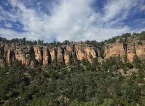
29.51 mi / 4852 ft gainPhantom Canyon Road is a point-to-point trail that takes you past scenic surroundings located near Penrose, Colorado.Read more -
Divide, Colorado
Hike to Brook Pond
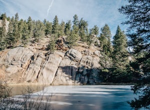
4.04.74 miThis hike begins at the east side of the Visitor's Center parking lot. The Visitor's Center keeps a record of any recent wildlife sightings, so its a good idea to check in the building if your goal is to see some animals. Otherwise, head to the end of the parking lot and take trail #5 down the hi...Read more -
Cañon City, Colorado
Shelf Road
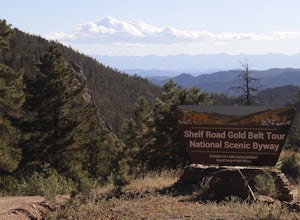
5.0Shelf Road, which was once a toll road from Cripple Creek to Canon City, is now a maintained dirt road that most high clearance two wheel drive cars can make. It will take over an hour to travel the 25 miles or so, and it can be completed going from north to south or the opposite. I will explai...Read more -
Cañon City, Colorado
Climb at Shelf Road
4.41.5 mi / 400 ft gainShelf Road is secluded, rural, and has great climbing. There are so many areas to choose from and it has a great diversity of route levels (mostly sport routes). My personal favorite area is "The Gallery" and "The Bank." Everyone is friendly and gives each other a hand.Sand Gulch Campground, righ...Read more -
Divide, Colorado
Hike to Rock Pond
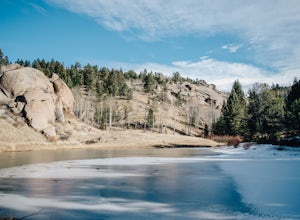
4.04.76 miThis hike begins at the east side of the Visitor's Center parking lot. The Visitor's Center keeps a record of any recent wildlife sightings, so its a good idea to check in the building if your goal is to see some animals. Otherwise, head to the end of the parking lot and take trail #5 down the hi...Read more -
Woodland Park, Colorado
Lovell Gulch Trail
5.22 mi / 814 ft gainLovell Gulch Trail is a loop trail that takes you by a river located near Woodland Park, Colorado.Read more -
Woodland Park, Colorado
Lowell Gulch Upper and Lower Ridge Trail
4.04.45 mi / 719 ft gainLowell Gulch Upper and Lower Ridge Trail is a loop trail that takes you past scenic surroundings located near Woodland Park, Colorado.Read more

