Fountain, Colorado
Top Spots in and near Fountain
-
4402 Garden Park Road, Colorado
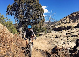
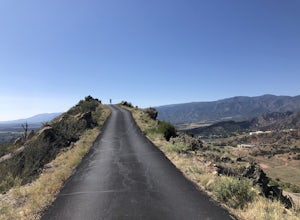
Mountain Bike at Oil Well Flats
13 mi / 1200 ft gainThe Basics: Picture this: Winter on Colorado's Front Range. It snowed yesterday. You're stir crazy because today it's 60 degrees and sunny outside, but the trails are a muddy mess! Cue Oil Well Flats. Located just an hour outside of Colorado Springs, this trail network rarely sees precipitation, ...Read more -
Monument, Colorado
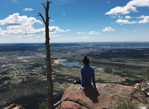
Mt. Herman & 715 Loop
4.06.16 mi / 1877 ft gainThe Basics: Mt. Herman is the most prominent peak overlooking Monument, CO and is easily spotted from I-25. The area between Monument and the mountain hosts a large network of meandering trails that are great for trail running and mountain biking. Our hike today starts at the uppermost parking lo...Read more -
Pueblo, Colorado
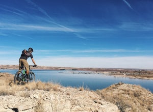
Mountain Bike Lake Pueblo State Park
5.013 mi / 350 ft gainThe Basics: Pueblo Reservoir is one of the largest bodies of water on the Front Range, which isn't saying much, but in my opinion this is the best recreation area around Pueblo! Thanks to Southern Colorado Trail Builders, there are dozens of miles of well-maintained trails throughout 3 main arms ...Read more -
Divide, Colorado
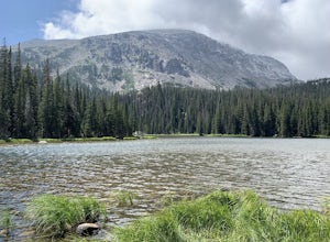
Pikes Peak National Forest Trail 375/375B
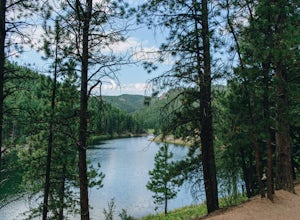
3.91 mi / 289 ft gainPikes Peak National Forest Trail 375/375B is a loop trail that takes you by a lake located near Divide, Colorado.Read more -
Woodland Park, Colorado
Red Rocks at Woodland Park
4.31 mi / 100 ft gainIn Woodland Park driving on HWY 24 towards Divide, you will see signs for HWY 67 which is where you'll need to get to. The Road will fork towards the end of town (left being 24 towards Divide, Right being 67). Stay right at the fork onto 67. You will then drive about 2 miles until you see a sign ...Read more -
Palmer Lake, Colorado
Palmer Lake Reservoir Trail
4.11 mi / 656 ft gainThis hike starts with a steep uphill, and if that doesn't take your breath away, the views of the lakes definitely will. After the uphill slog, you'll immediately reach the lower reservoir. On still mornings, it offers perfect reflections of its surroundings. The trail continues along its northe...Read more -
Calhan, Colorado
Hike the Paint Mines Interpretive Space Loop
4.54 mi / 200 ft gainThe site is an easy drive from Colorado Springs on US Route 24. There are three parking areas: the west and south parking areas are trailheads, and there is additional parking on the west side for a scenic overlook. The overlook does not attach to any trails.Through several loops, there are up to...Read more -
Calhan, Colorado
Photograph Colorado's Paint Mines
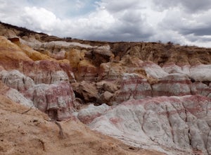
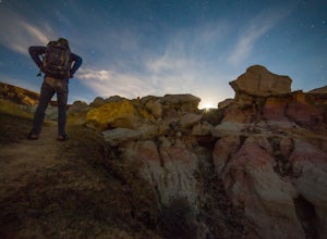
4.90.25 miAbout an hour from Colorado's busy Garden of the Gods is a multi-colored hoodoo valley called, The Paint Mines. Similar in appearance to Utah's popular Goblin Valley, The Paint Mines offer colorful hoodoo formations making your photography here even more awe inspiring.Getting to the park is easy,...Read more -
Cañon City, Colorado
Drive Skyline Drive
5.0Skyline drive is a one way scenic roadway mainly going north to south. The 3 mile drive takes you about 800 feet above Cañon City. It starts on the west side of 50, and ends in a residential neighborhood southwest of where it begins. There are multiple pull offs on the right and left side of the...Read more -
Guffey, Colorado
Paradise Cove
4.5From Colorado Springs, follow RT 24 to the town of Florissant (34.5 miles). From Florissant, follow Teller County Road 1 south for about 9.2 miles, until a Y fork, and bear right, into County Road 11. Follow County Road 11 for 4.1 miles, until a T intersection, and make a right turn at the inters...Read more -
Larkspur, Colorado
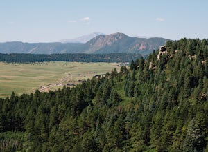
Spruce Mountain Loop
4.55.46 mi / 810 ft gainSpruce mountain is an approximately 4.2 mile loop outside of Colorado Springs near Palmer lake. The hike is a pretty easy one, that has some great views of the Front Range including peak a boo views of Pikes Peak. Starting at the Trailhead, you can either take the right or left trail which will t...Read more -
Cañon City, Colorado
Hike Tunnel Drive
3.8 mi / 521 ft gainThis 3.8 mile out and back trail is a very easy hike but can have moderate to high foot traffic depending on the season and time of day. I recommend doing this hike early in the morning to not only beat the heat, but to beat the other hikers. What I love about this hike is the chance to see the t...Read more -
Florissant, Colorado
See the Stars at Florrisant Fossil Beds
While Florrisant is known mostly for its history and collection of fossils, it is also one of the darkest places in the Colorado Springs area. While the park closes daily at dusk, it has Night Sky Programs monthly which allows visitors to view the stars with the help of the Colorado Springs Astr...Read more -
Cañon City, Colorado
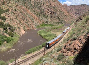
Royal Gorge Bridge
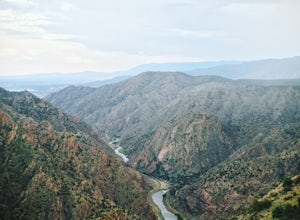
3.53.3 miThe Royal Gorge Bridge and Park is located in Canon City which is about an hour outside Colorado Springs. Once you get there, it's a $26 entrance fee per person. The park is dog and family friendly. You can walk across the bridge, take the gondola, or zip line across. Taking the gondola and of c...Read more -
Cañon City, Colorado
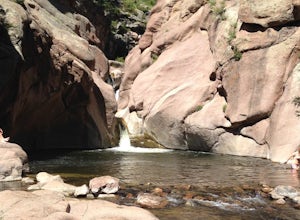
Hike Temple Canyon
5.01 mi / 400 ft gainTake 1st Ave heading south out of Canon City and you'll come to Temple Canyon Road. You'll take 7 miles of dirt road to Temple Canyon Park. It is free to enter and there is a decent campground there where you can camp for free for up to 14 days. The trail begins at Temple Ridge Campground. The tr...Read more -
Woodland Park, Colorado
Climb at Turkey Rocks
5.0Looking for a place to hone your crack climbing technique? Turkey Rocks is the place with some old school ethics and stiff grades. Turkey can be accessed from the town of Westcreek north of Woodland Park. From here, head west on Abbey Road and then south on West Creek Ave. About a mile down t...Read more

