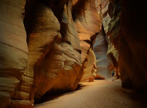
Hike Buckskin Gulch, Vermillion Cliffs Wilderness
Kanab, Utah
4.6
15 mi
Buckskin Gulch is a natural wonder. At 15 miles long it is the longest slot canyon in the world. It sometimes is as narrow as 2ft. Because of the nature of this canyon and Utah topography this canyon is subject to deadly flash flood if it rains anywhere along the headwaters. Be sure to check in with local Rangers about current flash flood predictions.Starting at the Wire Pass Trailhead gives yo...
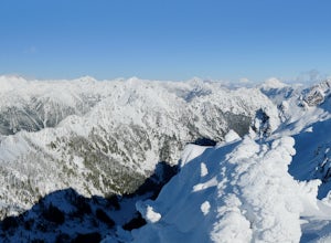
Snowshoe Mt. Ellinor's Winter Route
Hoodsport, Washington
5 mi
/ 4500 ft gain
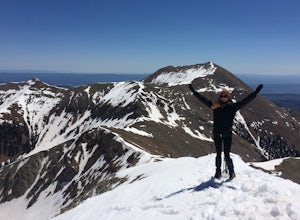
You can stat this adventure at one of two trailheads. I suggest using the lower of the two. The start of the trail ascends through a forest of old growth pines with periodic views of Mt Washington. Eventually, at a fork in the trail, you will see a sign marking the start of the winter route. You will then travel though a thinning forest to the base of the route, a tall, narrowing snow gulley.De...
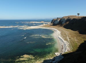
Hike the Kaikoura Peninsula
Kaikoura, New Zealand
4.3 mi
/ 196.9 ft gain
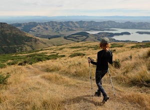
From the Point Kean carpark head south up the paved walkway until you reach the Clifftop Walk. This trail will take you past East Head and Atia Point before it becomes the South Bay Lookout Walk. When you reach car park at trail's end turn back the way you came and descend the stairs near East Head to the beach.The beach trail winds in and out of coves and headlands, which are home to an array ...
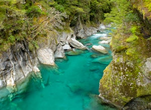
Hike to the Blue Pools
Mount Aspiring National Park, New Zealand
4.5
0.3 mi
/ 10 ft gain
From the carpark the trail can easily be identified across the street. A short walk through native beech forest and over a long swing-bridge takes you to the boardwalk just before reaching the bridge over the Blue Pools.
Explore Ohau Waterfall
Half Moon Bay, New Zealand
0.2 mi
/ 0 ft gain
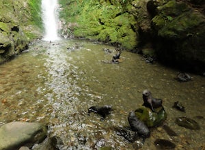
Prepare yourself for the cutest walk you will ever go on! This short trail follows a stream filled with playful, furry, seal babies! Over a hundred seal pups come to Ohau Stream and Waterfall every winter. They come here to hone the skills they will need on their own in the wild while their mothers are out at sea hunting. The seal pups play in the waterfall, nap, bark and cough a lot. It's almo...
Hike to the Summit of Mt. Isobel
Hanmer Springs, New Zealand
5.6 mi
/ 2624.7 ft gain
Start at the Waterfall Track Car Park. Follow the Waterfall Track along Dog Stream and through thick beech forest until the intersection with the Mt. Isobel Track (all intersections are well signed). Here, a quick detour brings you to Dog Stream Falls. Return to the track and head up the steep and sometimes narrow path which leads you above tree line. Continue upward towards the eastern shoulde...
Hike to the Summit of Mt. Fyffe
Kaikoura Flat, New Zealand
5.0
10.6 mi
/ 2952.8 ft gain
From the car park follow the old road grade which eventually narrows into a hiking path. At about the halfway point you will pass the Mt. Fyffe hut, a popular overnight destination. Track continues ever upward in a north-easterly fashion until you arrive at the broad summit where views to east fall away in a profound void before reaching the bright green peninsula and the ocean. To the west vie...
Hike to the Summit of Mt. Guy
Ashburton Lakes, New Zealand
6.2 mi
/ 2139.1 ft gain
Park at the Lake Clearwater trailhead where you are immediately greeted by some of the best alpine views in New Zealand. The hiking track follows the lake shore around the west end before breaking off to the right and ascending Mt Guy in typical New Zealand fashion, without switchbacks. After a long and steep climb you arrive at Mt. Guy's summit where you are rewarded with 360 degree alpine vie...
Climb Mount B'Limit
Arthur's Pass, New Zealand
6 mi
/ 4000 ft gain
Begin your adventure by hiking up the Temple Basin Ski Field access trail. Continue beyond the Ski huts to the upper basin below Mt Temple and B'Limit. Continue hiking under the rope tows to the saddle where the views will surly take your breath away.Once at the saddle mount the ridge-top to climbers right and ascend the crest on ledges and choss. Climbing is class 3-4 and exposed in places. T...
Backpack the Magical Earnslaw Burn
Glenorchy, New Zealand
8.7 mi
/ 1968.5 ft gain
Once you identify the parking area (Right turn off Glenorchy Paradise Road just before crossing the Earnslaw Burn, park a the bend in the road.) Cross the boggy meadow in a NW direction until you see the orange trail markers on trees.The trail below bush line is long, very rugged and covered with blowdowns, but clean water sources are plentiful. Once you break out of the bush you are surrounded...
Hike Foggy Peak and Castle Hill Peak
Springfield, New Zealand
5.0
8.1 mi
/ 3280.8 ft gain
Park in the gravel roadside parking area at the highpoint of Porters Pass. Follow the faint use path up the lower scree slopes of Foggy Peak northward towards the summit. Upon reaching the summit of Foggy Peak the alpine traverse to Castle Hill Peak becomes obvious. The hike between the two peaks is one of the best in Canterbury, a barren alpine ridge varying in width from one to a few hundred ...
Ediza Lake via Agnew Meadows
Madera County, California
4.0
13.54 mi
/ 1804 ft gain
Start at the Agnew Meadows Trailhead. You will need to arrive before 7:30AM or take the Shuttle from Mammoth Mountain.
Start out by heading north on the John Muir Trail. You will pass Shadow Lake; walk around the south side of the lake for mountain views. Then, follow the trail up Shadow Creek until you reach the junction with the Ediza Lake Trail, and continue east. The trail follows Shadow C...
Hike to the Packhorse Hut and Mt. Bradley
Ataahua, New Zealand
5.0
3.7 mi
/ 2460.6 ft gain
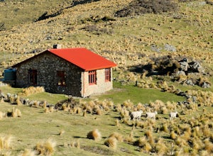
Park at the trailhead and begin the trail by crossing through farmland. As always be respectful of the property owners and animals, and close any gates you walk through.After a long walk up Kaituna Valley you will arrive at the Packhorse Hut, a great place to stay the night and enjoy the views of Lyttelton Harbour and the Ocean.From the hut, if you head west for 10 mins you will be taken to The...
Climb Mount Tukuhnikivatz
Moab, Utah
6 mi
/ 2200 ft gain
From the parking area at La Sal Pass, follow a well defined but unmapped trail though meadow, brief forest, and then switchbacks up the prominent ridge just east of the summit ridge of Mt Tuk. Once on the ridge bear west (climbers left) along the ridge as it narrows. Depending on conditions the ridge could vary from an unenjoyable heap of rubble to an exposed knife edge of hard snow.
From the s...
Summit Castle Peak, Mount Rainier NP
Packwood, Washington
4.0
6 mi
/ 1400 ft gain
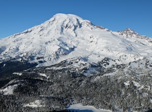
Start this route at the Narada Falls Parking lot. This route starts by following Stevens Canyon Road until you arrive at Reflection Lakes after 1.5 miles. About halfway along the lakeshore a path breaks off to the right into the forest. This is a popular route so there is often a snowshoe path beaten in (during winter season). Follow the path, or if there is not one, find your own way through t...
Hike Chesler Park and Joint Trails, Canyonlands NP
Monticello, Utah
4.5
10 mi
/ 1755 ft gain
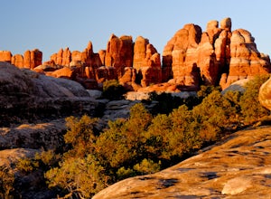
This world class hiking route circumnavigates Chesler Park by way of open meadows, slots, subterranean alcoves, stairways and slick rock.Begin at the Elephant Hill Trailhead and head south following signage for the Joint Trail / Chesler Park along the way. Once you arrive at Chesler Park turn left to loop the park clockwise, eventually meeting the legendary Joint Trail and then returning the wa...
Hike to Hamilton Peak's Summit
Craigieburn Forest Park, New Zealand
7.5 mi
/ 3280.8 ft gain
Park at the Craggyburn Valley Trailhead for a longer, more scenic hike, or continue driving to the Ski Field Parking at the road's end.The trail follows the true right bank of Craggieburn Valley as it climbs through a thick and scenic beech forest. After an hour it reaches the bush edge just short of the ski field. From this point follow a network of unofficial boot packs, trails, access roads ...
Flattop Mountain and Hallett Peak
Estes Park, Colorado
4.4
9.73 mi
/ 3240 ft gain
Arrive at the Bear Lake Trailhead. Follow abundant signage toward Flattop Peak. Once you arrive at the summit of Flattop identify the unnamed unmaintained trail leading south toward Hallett Peak. Round the head of Tyndall Gorge and ascend the rocky slopes toward the summit by connecting short use trails. Occasional cairns mark the way and the route is very easy to follow.
A rugged loop hike is...
Climb Fremont Peak via Southeast Buttress
Pinedale, Wyoming
30 mi
/ 4350 ft gain
The typical approach to the SE Buttress is from Indian Basin, probably because it is easier, provided you plan on going to Indian Basin anyway. However, if you plan on visiting Titcomb or climbing Gannett peak via Bonney Pass, I suggest approaching from Lower (Southern) Titcomb Lake. I thought it was more fun, challenging, and scenic.The first step is to hike to 14 miles to Titcomb Basin. From ...
Climb to Homer Saddle, Fjordland NP
Fiordland National Park, New Zealand
1.6 mi
/ 1574.8 ft gain
This route is not marked, riddled with loose rock, and requires climbing on narrow exposed ledges. There are often snow patches on the saddle and an unchecked fall will almost certainly result in a fatality. However, for experienced and well prepared parties this can be one of the most rewarding and exciting adventures in New Zealand.From the car park you can see your destination, Homer Saddle,...
Hike to Lake Alta
Gibbston, New Zealand
2 mi
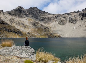
From Queenstown drive to the Remarkables Ski Field. The road features incredible views of Queenstown, Lake Wakatipu, Shotover Canyon and the Southern Alps. The road takes you far above tree line into alpine high country.From the parking area it is a short (30-45 min) walk along a pleasant trail through alpine scrub and boulders to the lake. In summer the trail is uncrowded, but in winter this i...
Hike to the Summit of Mt. Herbert
Charteris Bay, New Zealand
4.0
9.3 mi
/ 2985.6 ft gain
Begin at the trailhead at the end of the gravel road in Orton Bradley Park. The trail follows a stream through an impressive forest of Beech, Kauri, Eucalyptus and Cypress. The trail eventually emerges from the forest and begins climbing through pastures populated by sheep and cows.Follow the trail marking poles past the Mt Herbert Shelter to the broad summit. Summit views stretch out to the P...
Hike to the Fox Glacier
Westland National Park, New Zealand
1.6 mi
/ 246.1 ft gain
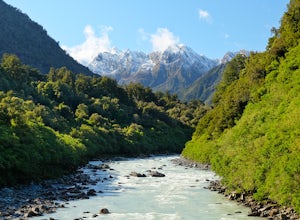
From the carpark follow the well marked trail to the toe of the Fox Glacier. Do not stray from the trail as unstable ice and moraine can be very dangerous. Looking for a longer adventure? You can hike to the summit of Mt. Fox above Fox Glacier.
Hike to the Summit of Big Baldy, Kings Canyon National Park
Tulare County, California
4.5
5 mi
/ 650 ft gain
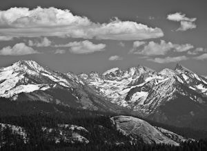
This short and easy trail to the summit of Big Baldy in Kings Canyon National Park is not to be missed if you are in the area.The trail winds through forest and boulders as it climbs the north shoulder of Big Baldy. When you think you have reached the end, and you see people sitting down with their lunch, KEEP GOING! The trail continues beyond this popular break spot a little farther before it ...
Community
© 2024 The Outbound Collective - Terms of Use - Privacy Policy

