Lost Creek Group
Book this listing through our partner Recreation Gov
About Lost Creek Group
Overview
Lost Creek Group Campground (elevation 5,700 ft.) is approximately five miles south of Manzanita Lake, and close to the Lost Creek and Devastated areas. Located on the main park road, it is also in close proximity to the main attractions and hiking trails of Lassen Volcanic National Park, the general store, showers and other amenities. The Loomis Museum and educational programs are a within a short drive.Recreation
Within a short drive, campers can access several hiking trails and Manzanita Lake. The lake is popular with fly fishermen for catching trout; however, the area does maintain a catch-and-release policy and requires the use of artificial lures and single barb-less hooks only. Non-motorized boating is also permitted with kayak rentals nearby.Facilities
There are eight group sites within the campground, each containing picnic tables, campfire rings, food storage lockers and parking. Drinking water is provided. The facility does not provide electric and water hookups. The closest dump station is at Manzanita Lake. For more information visit Campgrounds of Lassen Volcanic.Natural Features
The Lost Creek area has a pleasant atmosphere dominated by large ponderosa pines.The national park is known for its volcanic history, as well as its diversity of plants and animals. It contains 300 active volcanic domes and many hydrothermal features, such as mud pots and steam vents. Lassen Peak is the southernmost active volcano in the Cascades, and the second most recent volcano to erupt in the lower 48 of the United States before Mount Saint Helens.
Lassen National Park boasts over 700 species of flowering plants and 250 species of vertebrates, including birds, mammals, reptiles and fish. The park is at the junction of the Cascade Mountains, the Sierra Nevada Mountains and the Great Basin, thus providing many unique habitats.
Nearby Attractions
The Loomis Museum is located about a fifteen minute drive away and the Kohm Yah-mah-nee Visitor Center is located about forty-five minute drive away.Lost Creek Group Reviews
Have you stayed here? Be the first to leave a review!
Top Spots in or near Shasta County
Devastated Area Interpretive Trail
Shasta County, California
2.0
0.5 mi
/ 16 ft gain
Devastated Area Interpretive Trail is a loop trail that is good for all skill levels located near Old Station, California.
Seven Lake Loop in Lassen Volcanic NP
Shasta County, California
11.54 mi
/ 1545 ft gain
This hike is one of my favorites for when I only have a weekend to get my nature fix. To start off, visit either the Loomis Museum, Loomis Ranger Station, Butte Lake Ranger Station, Kohm Yah-mah-nee Visitor Center, Warner Valley Ranger Station, or Juniper Lake Ranger Station and pick up a wilderness camping permit (free of charge). Also be sure to have your bear canister to store your food in,...
Summit Mt. Lassen via the Northeast Face
Shasta County, California
5.0
8 mi
/ 4000 ft gain
This route is perfect for those with some mountaineering skill looking to challenge themselves on either a long day climb (10-12 hours) of one of California’s most iconic peaks.
1: The approach (1500 feet of elevation gain)
For the best chance of summiting, start very early, around 2-4 am. Most approaches for this hike start at the parking lot near the Devastated Area Interpretive Trail, thoug...
Lassen Peak
Shasta County, California
4.4
4.66 mi
/ 1936 ft gain
One of my personal favorites and a hidden gem of California that keeps circling my mind is the Lassen Peak Trail. Don't let the trail map (2.5 miles one way) deceive you and make you think this is a short trail. The elevation gain is is 2000 feet from the parking lot to the end of the peak. The air is very thin so, it's best to take your time. The trail hike and switch backs are made worth it b...
Kings Creek Falls Trail
Shasta County, California
4.0
2.49 mi
/ 495 ft gain
Kings Creek Falls Trail is an out-and-back trail that takes you by a waterfall located near Old Station, California.
Bumpas Hell to Cold Boiling Lake
Old Station, California
4.0
5.32 mi
/ 1007 ft gain
Bumpas Hell to Cold Boiling Lake Trail is an out-and-back trail that takes you by a lake located near Old Station, California.
Camping and Lodging in Shasta County
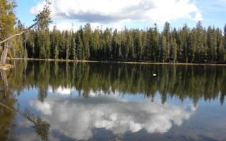
Volcanic Legacy Scenic Byway
Summit Lake South
Overview
Summit Lake South Campground (elevation 6,700 ft.) is conveniently located on the main road of Lassen Volcanic National Park. Th...
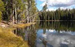
Volcanic Legacy Scenic Byway
Summit Lake North
Overview
Summit Lake North Campground (elevation 6,700 ft.) is conveniently located on the main road of Lassen Volcanic National Park. Th...
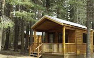
Unnamed Road
Manzanita Lake Camping Cabins
Overview
Manzanita Lake Camping Cabins offer convenience and comfort in a scenic setting of the Lassen Volcanic National Park. They are w...
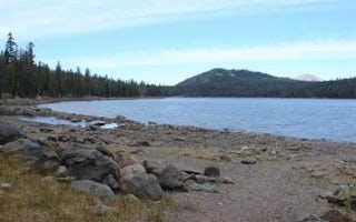
Chester Juniper Lake Road
Juniper Lake Stock Corral
Overview
Juniper Lake Stock Corral (elevation 6,800 ft.) is a remote and rustic facility in the southeastern part of Lassen Volcanic Nat...
Chester Juniper Lake Road
Juniper Lake Group
Overview
Juniper Lake Group Campground (elevation 6,800 feet) is a remote, rustic facility in the southeastern part of Lassen Volcanic Na...
Old Station, California
Butte Lake
Overview
Butte Lake Campground (elevation 6,100 feet) is located in the northeastern section of Lassen Volcanic National Park in northern...
Unfortunately, we don't have up-to date pricing data for this listing, but you can check pricing through Recreation Gov.
Book NowAdd your business today to reach The Outbound's audience of adventurous travelers.
Community
© 2024 The Outbound Collective - Terms of Use - Privacy Policy


