Whatcom County, Washington
Looking for the best hiking in Whatcom County? We've got you covered with the top trails, trips, hiking, backpacking, camping and more around Whatcom County. The detailed guides, photos, and reviews are all submitted by the Outbound community.
Top Hiking Spots in and near Whatcom County
-
Concrete, Washington
Anderson and Watson Lake
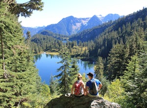
5.68 mi / 1165 ft gainThe drive up to the starting point of the trail to Anderson and Watson Lake was easy, but at the end it gets a little tricky - the service road is sharp gravel and runs for about 10 miles to the trailhead. Some spots are steep and there are large potholes, but slow and steady wins the race. There...Read more -
Fraser Valley D, British Columbia
Explore Bridal Veil Falls in Chilliwack
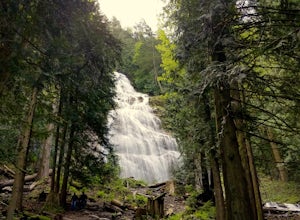
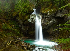
4.00.5 mi / 164 ft gainLocated only a short distance from the Trans-Canada highway is the Bridal Veil Falls Provincial Park. The park is a great area for a picnic lunch, but the highlight of the park is the almost 200 ft. (60 meter) waterfall. The location of the park and the duration of the hike to the waterfall make ...Read more -
Fraser Valley E, British Columbia
Hike Mount Cheam
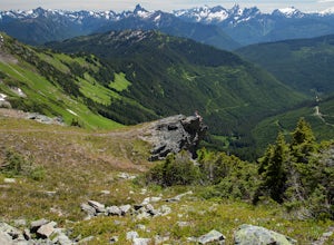
5.0Even at the parking lot, there is a stunning view of Lady Peak and Mount Cheam. Walk towards the big pile of logs and towards the old logging road. You will also see an outhouse – this will be your one and only time to use a toilet, so go now. The road continues for about 15 min. before reaching ...Read more -
Bellingham, Washington
Hike to Pine & Cedar Lakes
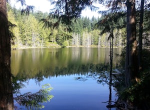
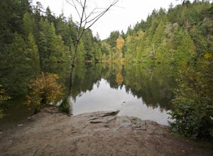
5.05 mi / 1400 ft gainThese two quaint lakes in the Chuckanuts are a must-do for people looking for a day hike, short camping trip or steep trail run in the Bellingham area. Starting at the trailhead off of Old Samish Road, one begins the 2 mile ascent to the two lakes. The first 1,400ft climb has its fair share of up...Read more -
Fraser Valley E, British Columbia
Hike to Porcupine Peak
6.8 mi / 4265.1 ft gainPorcupine Peak (also known as Goat Peak) is a little known trail that begins beside the popular Lindeman and Greendrop Lakes trailhead. The hike is tough, going straight uphill for a significant portion, with some ups and downs right before reaching the peak. The trailhead is a bit tricky to fin...Read more -
Fraser Valley E, British Columbia
Hike to Lindeman & Greendrop Lakes
4.46.89 mi / 1240 ft gainYou start the trail in a newly created parking lot (outhouses as well). Follow along the trail, and within a short distance from the parking lot you will come to a fork. Take the left trail (right goes to Flora Lake). This part of the trail is fairly flat with some nice scenery. You will follow t...Read more -
Bow, Washington
North Butte via Chuckanut Trail
1.07.71 mi / 2047 ft gainThe HikeThe hike there isn't short, has several steep sections, and ends at the top of the mountain. There are cliff warnings at the top, so be careful as you explore the view! The steepest portions are at the beginning and right at the end. The trail is very well maintained (because it is so pop...Read more -
Bow, Washington
Oyster Dome via Chuckanut Trail
4.36.57 mi / 1857 ft gainThe trail begins on the Pacific Northwest Trail, which ascends quickly up the side of Blanchard Mountain. The trail contains several switchbacks which wind through second-growth alder, Western red cedar, and Douglas fir forest. After about one mile there is an overlook with a bench that offers a...Read more -
Bellingham, Washington
Hike to Fragrance Lake
4.75.5 mi / 950 ft gainTake Chuckanut Drive to the trailhead which is located directly across from the entrance to Larrabee State Park. A small lot in front of the trail has space for 8-10 cars, or you can park at the State Park and walk across the road (carefully!) to reach the trailhead. Either way you will need a Di...Read more -
Ferndale, Washington
Take a Stroll through Hovander Homestead Park
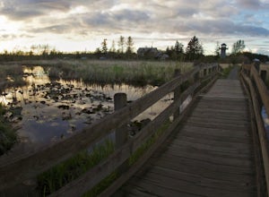
5.01.4 mi / 0 ft gainDriving up to the park entrance: take a right to drive towards the barnyards, playgrounds, covered picnic areas, historic house and community gardens, and access to the Snoqualmie River. Or, drive straight and park outside of the fragrance gardens and historic house/ museum, and take a walk to a...Read more -
Fraser Valley F, British Columbia
Hike to Cascade Falls, British Columbia
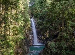
4.80.5 mi / 131.2 ft gainWhen you get to the parking lot go past the access gate and follow the very well maintained trail. The hike to the viewing platform is all uphill, but short. After a couple minutes you will reach wooden stairs that take you to a viewing platform as well as to the suspension bridge where you can c...Read more -
Marblemount, Washington
Hike Lazy Bear Falls
3.0To get to Lazy Bear Falls, take Bacon Creek Road off the North Cascade Highway for 5 miles. At the 3-way fork, take the left road, which will lead you down and over a bridge crossing Bacon Creek. From here, the road will require 4x4 and high clearance.From here, continue up the road for about 0.5...Read more -
Skagit County, Washington
Sauk Mountain Summit 5,541'
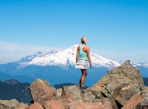
4.34 mi / 1200 ft gainEven from the Trailhead, the views overlooking the Skagit River valley, all the way out toward Mount Vernon, are outstanding. The trail follows 20 tight switchbacks as it makes it's way 600 feet up to the southern crest of the summit ridge. This is a steep slope and it's possible to look straight...Read more -
Fraser Valley D, British Columbia
Camp at Jones Lake
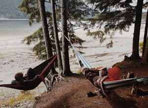
3.0Southwest of Hope and just east of Chilliwack, Jones Lake is a recreation site at a reservoir lake in the coastal mountain range, managed by BC Hydro. Set below granite mountain peaks and surrounded by a dense forest (that is unfortunately being logged), this lake isn't pristine, but it sure is p...Read more -
Marblemount, Washington
Thornton Lakes & Trappers Peak
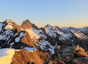
3.710.57 mi / 3885 ft gainTo get to your campground or to Trappers Peak, hike roughly five miles along the trail to ridge, where the trail divides. If you head left you'll go down into lake basis where you can drop your gear. Come back to the divide and head right, which will lead you up to trappers peak. Something to ke...Read more -
Marblemount, Washington
Winter ascent of Trappers Peak
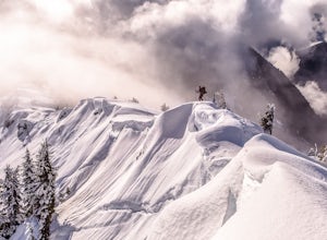
9.78 mi / 3448 ft gainNorth Cascade National Park is home to some of the most rugged and remote mountains in the lower 48 states. Because of this, the area is rarely seen up close and personal in the winter, but there are a few spots where you can see these wild mountains that will defy all imagination. In terms of lo...Read more

