Sumas, Washington
Top Spots in and near Sumas
-
Deming, Washington
Hike the Fire and Ice Trail
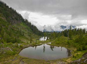
0.5 mi / 100 ft gainSet within the Mount Baker hiking wonderland, the Fire & Ice Trail may be the easiest and most family friendly hike set within the park. About ½ mile beyond the Heather Meadows Ski Area and about a mile before Artists Point, you’ll encounter the sign for the Austin Pass Picnic Area. It’s a ra...Read more -
Deming, Washington
Winter Backpack to Artist Point
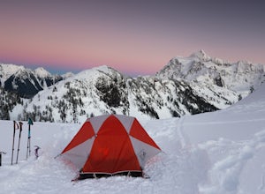
4 mi / 1000 ft gainYou do need a Northwest Forest Pass to park in the lot overnight. You can buy a day use E-pass online here (pick Mount Baker-Snoqualmie National Forest from the drop down menu) and print it out and it's ready to use. Or you can buy the annual pass here.The adventure to Artist Point begins in the ...Read more -
Deming, Washington
Snowshoe to Huntoon Point
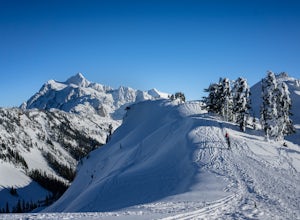
5.06 mi / 1200 ft gainThis strenuous but rewarding hike takes you first to Austin Pass, where there is a great view of Mount Shuksan. Look out for skiers and snowboarders heading the opposite direction as you start out.The second major push heads further up to Kulshan Ridge, leading first to Artist Point, then Huntoon...Read more -
Deming, Washington
Catch a Sunrise at Picture Lake
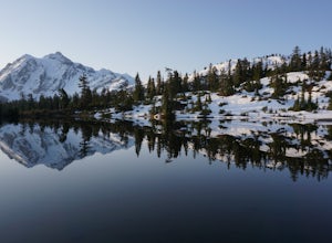
4.7Set your eyes on one of the most photographic mountain landscapes in North America. You can drive up early for the sunrise, but really any time of day will be a treat.In the spring, make sure to come when the lake isn't frozen over so you can get the full reflection of Mt. Shuksan on the water. T...Read more -
Deming, Washington
Lake Ann and Lower Curtiss Glacier
5.011.67 mi / 3241 ft gainThe trail begins just below Artist Point and is well marked from a paved parking lot. Make sure to have a Northwest Forest Pass for your vehicle. Start your hike by descending on switchbacks through sub-alpine forest. It's a nice start, but remember, that means an uphill hike out. After entering...Read more -
Deming, Washington
Climb Mt. Shuksan via The Fisher Chimneys
Out of all of the ruggedly beautiful, non-volcanic mountains in the Pacific Northwest, Mt. Shuksan is the center piece. Rising to a height of 9,131 feet, Mt. Shuksan is one of the most photographed mountains in the world with its jagged ridges, hanging glaciers, steep rocky faces and ease of acce...Read more -
Fraser Valley E, British Columbia
Hike Mount Cheam
5.0Even at the parking lot, there is a stunning view of Lady Peak and Mount Cheam. Walk towards the big pile of logs and towards the old logging road. You will also see an outhouse – this will be your one and only time to use a toilet, so go now. The road continues for about 15 min. before reaching ...Read more -
Surrey, British Columbia
Catch a Sunset at Crescent Beach
5.0Crescent beach is a great place to end your day, by taking some sunset pictures. It often lights up the sky and really pops with colour. It is best to park at the main parking lot near the pier and start from there. The beach walk from the pier to the end is just over a kilometre, so is very shor...Read more -
Whatcom County, Washington
Winter Hike to Winchester Mountain
3.5 mi / 1320 ft gainDespite this trip report being titled "to Winchester Mountain", the fun doesn’t stop there. Even though Winchester Mountain is the most popular summer hike departing from Twin Lakes, this whole area turns into a fun-zone during the winter.Upon reaching higher ground above the lakes, this zone off...Read more -
Whatcom County, Washington
Winchester Mountain Fire Lookout
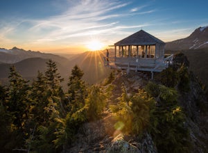
4.83.28 mi / 1335 ft gainWinchester Mountain is said to have the greatest reward for least amount of effort in all the North Cascades. One of the last fire-lookouts in the region stands on the summit. Views from the summit of Winchester Mountain are beautiful and dramatic to say the least. Being one of the easiest hikes...Read more -
Concrete, Washington
Park Butte Lookout
4.57.64 mi / 2100 ft gainThis place is really the stuff of fairy tales. Where else can you find a tiny cabin with 360-degree views of stunning mountain scenery? To the west, you can see all the way to Bellingham and the Puget Sound. To the south and east lie the jagged North Cascades. And the entire northern horizon is ...Read more -
Concrete, Washington
Backpack the Easton Glacier Railroad Grade
10 mi / 3000 ft gainBegin at the Park Butte trailhead, trail 603. Hike past the first Scott Paul trail sign a few hundred feet from the trailhead. Continue on and cross appropriately name Rocky Creek heading up on the Park Butte Trail. Continue up the Park Butte trail passing the Scott Paul trail again at about 4,50...Read more -
Concrete, Washington
Climb Mt. Baker via the Easton Glacier Route
16 mi / 7600 ft gainThe Easton Glacier route is one of the mountain’s most popular and likewise, most crowded. Check out Mt. Baker’s Squak Glacier route or Coleman Deming Glacier route for an alternative climb with similar difficulty.You’ll start out at Schreibers Meadow Trailhead (3,200 ft.). To get there, exit off...Read more -
Concrete, Washington
Climb Mt. Baker via Squak Glacier
10 mi / 7500 ft gainNOTE: THIS ROUTE REQUIRES GLACIER TRAVEL SKILLSMt Baker, or Kulshan, is a remarkable mountain in northwest Washington. Whether you're in Anacortes, Bellingham, Vancouver or on the San Juan Islands you can see Mt Baker standing as a citadel over the Northwest. Unlike the more popular routes like t...Read more -
Pitt Meadows, British Columbia
Paddle Pitt Lake to Widgeon Falls
5.03.7 miThe 12km (7.5 mi) drive on Neaves Road to Pitt Lake from Pitt Meadows is one of BC's most scenic routes. As soon as you start this section of the drive you already feel miles from the city, but this route is only 30-45 minutes from Vancouver, depending on city traffic.Once you reach the parking l...Read more -
Concrete, Washington
Rainbow Ridge
4.51 mi / 1552 ft gainThe Trail From the parking area proceed back towards the road and hang a right up an abandoned road bed. The trail follows this road bed for a about 0.2 miles before the real trail becomes evident. The first 0.5 - 1.0 miles of this trail can be difficult. Deadfall, wet, steep, and root covere...Read more

