Washington
Looking for the best hiking in Washington? We've got you covered with the top trails, trips, hiking, backpacking, camping and more around Washington. The detailed guides, photos, and reviews are all submitted by the Outbound community.
Top Hiking Spots in and near Washington
-
Rockport, Washington
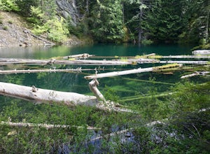
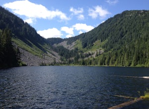
Hike to Pyramid Lake
2.1 mi / 1500 ft gainDay hike with moderate elevation gain, 2.1 miles one way. You will be going up, up, up until you get to the top where you will find the lake. Take your time going up - take breaks and stop to check out the forest around you. There were a few times where we found it difficult to follow the trail (...Read more -
Easton, Washington
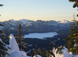
Snowshoe to Amabilis Mountain
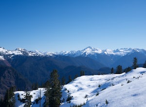
9.5 mi / 2100 ft gainTo reach Amabilis Mountain, park at the Cabin Creek Sno Park at Exit 63 off I-90. Take the overpass across the highway to the trailhead and strap on your snowshoes. There's a maze of cross-country ski trails, but you'll want to keep to the right and follow the Berg trail for a quarter mile until ...Read more -
Okanogan County, Washington
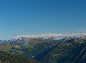
Hike Tatie Peak and Grasshopper Pass
11 mi / 1800 ft gainDirection are from Mazama, WA. From Mazama drive west on the Lost River Road for approximately 19 miles to Hart's Pass. Note that the pavement ends around 7 miles from Mazama and the road becomes FS RD 54. The drive up to Hart's Pass is fairly exposed in one spot and has unnerved several of my ...Read more -
Snohomish County, Washington
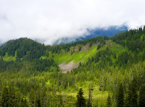
Hike Johnson Ridge to Scorpion Mountain
9 mi / 2650 ft gainFrom Skykomish, WA drive east on SR 2 roughly 1 mile and turn left on the Beckler River Road, FS RD 65. Drive north on this road approximately 7 miles taking a sharp right at the pavement's end just before crossing the Rapid River. You are now on FS RD 6520. Continue on this road bearing left a...Read more -
498 Old Highway 8, Washington
Labyrinth-Coyote Wall Loop
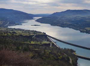
6.42 mi / 1555 ft gainSadly because of the devastating Eagle Creek fire on the Oregon side of the Gorge, most of the trails are closed for restoration. As a result more hikers are heading to the Washington side and heading further east for Gorge day hikes. Heading east gets you some sunnier skies and prime wildflower ...Read more -
Concrete, Washington
Winter Hike to Rainbow RIdge
4.5 mi / 1200 ft gainTurn left off of the Grandy-Baker Lake Road onto FS RD 1130 just past the Boulder Creek Campground. Stay right at the first fork in the road. At 3.9 miles go right towards Rainbow Falls. The falls are located at a large bend in the road at approximately 4.5 miles. I have never found a good safe...Read more -
North Bend, Washington
Scramble Guye Peak
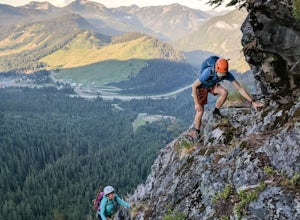
4.5 mi / 2200 ft gainThere are quite a few ways up Guye Peak ranging from a simple walk up to multiple pitches of technical rock climbing. Both of the routes described here start from the PCT parking lot north of exit 52 of I-90 at Snoqualmie Pass. Some of the scrambling described would be treacherous in wet or sno...Read more -
Ridgefield, Washington
Hike Whipple Creek
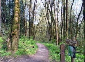
3 mi / 200 ft gainEach trail is well maintained and easy to navigate through the area. All trails are either packed dirt or gravel depending on which trail you’re on. The Douglas-firs, hemlocks, ferns, Oregon grape and many other native tree and plant varieties grow in the area that make the area abound with wild...Read more -
Marblemount, Washington
Hike to Monogram Lake
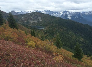
9.8 mi / 4500 ft gainOn a drizzly day, we set out to patrol Monogram Lake. Sore legs and thousands of feet later, we had the pristine lake all to ourselves with gorgeous fall weather and peek-a-boo views of the North Cascades.From Highway 20 in Marblemount, take Cascade River Road for 7 miles and look for a small par...Read more -
15671 Rosario Road, Washington
Hike or Run Lottie Point Loop
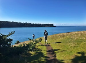
1.5 mi / 50 ft gainOne of the best routes to add to your itinerary when exploring Deception Pass State Park, one of Washington’s most popular year-round camping, hiking, and kayaking destinations; The Lottie Point Loop trail is a great offshoot of a larger trail system that takes you across soaring cliffsides and a...Read more -
Wenatchee, Washington
Stroll through Ohme Garden
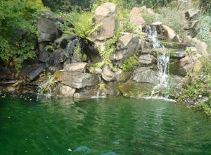
This is a great place to take a stroll and stretch your legs. With waterfalls and other beautiful scenery, definitely make a stop here if you find yourself in the area. No pets allowed.Read more -
Packwood, Washington
Hike Tatoosh Ridge from Tatoosh Trail #161
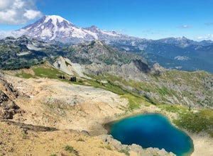
12 mi / 4100 ft gainAt the trailhead kiosk be sure to get one of the provided (and required) self-serve Wilderness Permit. Starting at the trailhead begin your initial accent following the marked trail on the side of the road. In the first two 2.5 miles you will climb 2,745 feet, it's hard but luckily a majority of ...Read more -
North Bend, Washington
Talapus & Olallie Lakes
5.71 mi / 1266 ft gainWith a moderate grade on a wide trail, the hike to Talapus Lake is the perfect introduction to the outdoors for hikers and beginning backpackers. Upon arrival at Talapus, break out lunch or pitch camp. Either way, you can cool off in the large lake. If you feel like pressing on, Ollalie Lake is j...Read more -
Marblemount, Washington
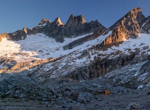
Terror Basin and West McMillan Spire
16.98 mi / 8868 ft gainThe Picket Range is a remote and rugged subrange of Washington's North Cascades. It draws very few visitors per year, and the odds of seeing another human on your adventure are very low. West McMillan Spire is an 8,000' peak located in the Southern Pickets. It is a Class 3 climb involving bot...Read more -
Ashford, Washington
Climb Little Tahoma/East Shoulder
17 mi / 7450 ft gainStart from the Summer Land Trail Head at the Fryingpan Creek parking lot just West of the White River Ranger Station in Mount Rainier National Park. Beginning at an elevation of 3,800 feet, you'll head southeast along the Summer Land Trail for 4.5 miles, tracing the Fryingpan Creek. There are a f...Read more -
Bellevue, Washington
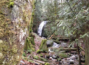
Coal Creek Falls via Red Town Trailhead
3.02.29 mi / 518 ft gainThe popular trailhead is located in the Cougar Mountain Regional Wildlife Park. There is a veritable maze of trails and trailheads here so it is helpful to bring along a map of the area. A trail map for Cougar Mountain can be found on kingcounty.gov. From the trailhead veer left following the Re...Read more

