Virginia
Looking for the best photography in Virginia? We've got you covered with the top trails, trips, hiking, backpacking, camping and more around Virginia. The detailed guides, photos, and reviews are all submitted by the Outbound community.
Top Photography Spots in and near Virginia
-
Wytheville, Virginia
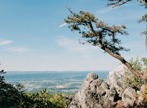
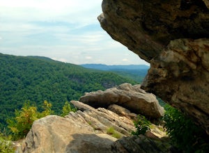
Hike the High Rock Trail
3.02.7 mi / 636 ft gainThe hike to High Rocks begins at a gravel parking lot up a long winding road, seems like forever but really is only mile or two past the quarry when your turn onto the road. The out-and-back hike begins by passing through the two large boulders near the back of the parking lot. The trail leads d...Read more -
Front Royal, Virginia
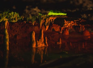
Explore Skyline Caverns
Skyline Caverns is located right off Stonewall Jackson Highway with plenty of parking. The cave tour is about 60 minutes with little walking and minimal elevation gain. If you time it right you and your friends can get the whole tour to yourselves. The backstory the tour guide gives you, is inte...Read more -
Roanoke, Virginia
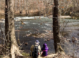
Hike along the River Walk Trail in Roanoke's Explore Park
3.01.5 miStarting at a great spot to picnic, fish, or put in a kayak, this casual hike meanders along the Roanoke River. Along the trail you can enjoy views of some small river rapids and the beautiful trees surrounding along the river.The trail begins at a parking lot at the end of Rutrough Road. There ...Read more -
Elkton, Virginia
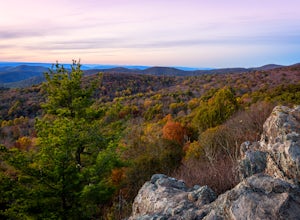
Photograph The Point Overlook
4.0The Point is the best overlook off of Skyline Drive to watch the sun set behind the Blue Ridge Mountains. The Point Overlook is one of 72 overlooks for people to enjoy the beauty of Shenandoah National Park as they drive along Skyline Drive. Skyline Drive is the road that winds through the hear...Read more -
Ewing, Virginia
Backpack to White Rocks in Cumberland Gap National Historic Park
6.4 mi / 2000 ft gainCumberland Gap National Historic Park encompasses more than 20,000 acres of mountainous terrain spread out across Virginia, Tennessee, and Kentucky. The park offers miles of trails and many historic curiosities, including the actual saddle where pioneers first found their way over the Cumberland ...Read more -
Rockbridge Baths, Virginia
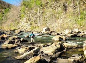
Fly Fish Goshen Pass
5.0The fly fishing on the Maury River is one of a kind through the Goshen Pass. The Pass is littered with huge boulders, which actually makes it possible to fish without waders, although it's much easier and more enjoyable with waders.From Lexington, VA, take Route 39 towards Goshen for approximatel...Read more -
Luray, Virginia
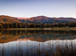
Hike Around Lake Arrowhead Recreation Park
5.01 mi / 10 ft gainA few miles east of the town of Luray and just a couple miles outside of the Thorton Gap entrance to Shenandoah National Park sits Lake Arrowhead Recreation Park. This small lake and park features fishing, swimming, picnic areas, and other recreational park type of activities. Use of the faciliti...Read more -
Virginia Beach, Virginia
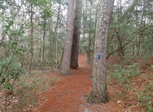
Hike the Osmanthus Trail
4.53 mi / 150 ft gainThis loop hike is accessed from a short walk from the Bold Cypress Trail and the visitor center. There are no views along this trail but the what I enjoyed was the pine needle covered trail itself. The pine needles are like a soft carpet padding the trail. I enjoy trailing running this loop mo...Read more -
Johnny's Road, Virginia
Camp along the South Fork Shenandoah River
3.0From Luray, follow Bixler's Ferry Road until you cross the river. The road will then T, go to the right along South Page Valley Road. Follow this road for about 6.5 miles until you pass Shenandoah River Outfitters. Shortly after this it will turn into a gravel road. Drive along the gravel road fo...Read more -
Etlan, Virginia
Hike to the Summit of Mt. Robertson in Shenandoah NP
9 mi / 2500 ft gainThis hike is one of the lesser known hikes in Shenandoah. While everyone else is headed to Old Rag, hikers will find themselves on a peaceful hike to the summit of Mt. Robertson. Hikers should park in the Old Rag Parking lot and make sure to pay the daily fee ($25). If you have a yearly pass, be ...Read more -
Newport, Virginia
Fish Sinking Creek at Clover Hollow Queens Truss Bridge
5.0Park alongside of the road at the bridge where 2-3 cars can fit. From here you can fish in Sinking Creek with a great view of this historic landmark. The majority of fish are native brook's and can be caught on a smaller 4-5 wt rod using dry flies.The covered bridge was built in 1916 and spans 70...Read more -
Clifton, Virginia
Hike the Bull Run Occoquan Trail
13 miThe Bull Run Occoquan Trail is located in Fairfax County, Virginia and is 50 miles outside Washington, DC and runs along the Bull Run waterway for 6.5 miles from Bull Run Marina to Fountainhead Regional Park. The blue blazed trail undulates for a total ascent of 1,510 ft and descent of 1,526 ft, ...Read more -
Roseland, Virginia
Backpack Reeds Gap to Rockfish Gap
5.020 miNote: We usually get a chance to take this trip in the summer, so please pay attention to the weather and pack accordingly. This description is for a July/August hike and the temperatures were in the 80s during the day and 60s at night. During this time of year rain showers are always a possibili...Read more -
Virginia Beach, Virginia
Catch a Sunset at the Old Pungo Ferry Landing
4.0From the Virginia Beach ocean front, head South on VA-149/General Booth Blvd for 6 miles. Turn left onto Princess Anne Rd and head South for 10.5 miles. Turn right onto Old Pungo Ferry Rd. Take this road until it ends at a small park. From here, hike along the water's edge to find the best place ...Read more -
Vesuvius, Virginia
Photograph Statons Creek Falls
4.0To view this waterfall, hiking is not necessarily involved since the top of it is next to a small parking area along CR-633. If you feel like scrambling and bushwhacking, it’s possible to make your way down either side to small pools and cascades with a total drop of about 100 feet. The terrain i...Read more -
Fairfax Station, Virginia
Explore Burke Lake in Fairfax
4.54.7 mi / 0 ft gainBurke Lake Park has something for everyone. Whether you enjoy trail running, hiking, fishing, canoeing, Frisbee golf, or just having a picnic with your family, you can do it all at Burke Lake. Those who want to be active or exercise can run, hike or biket the 4.7 mile trail that circles the entir...Read more

