Virginia
Looking for the best photography in Virginia? We've got you covered with the top trails, trips, hiking, backpacking, camping and more around Virginia. The detailed guides, photos, and reviews are all submitted by the Outbound community.
Top Photography Spots in and near Virginia
-
Farmville, Virginia
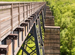
High Bridge
5.02 miThe High Bridge is the highlight of the 31 mile High Bride Rail Trail in central Virginia. The trail, paved with crushed limestone, is nice for biking, walking, and running. Park at the River Street parking area near the town of Farmville. The parking lot is big enough for two dozen cars and cha...Read more -
Mouth of Wilson, Virginia
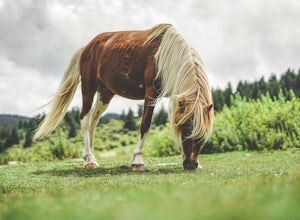
Photograph Wild Horses at Grayson Highlands State Park
4.61.8 mi / 306 ft gainThe wild horses gather on top of the bald at the end of Horse Trail North located in Grayson Highlands State Park. Because they are wild, it is important to remember not to touch or feed the horses. The horses are accustomed to hikers and will allow you in their near proximity, but bring a zoom l...Read more -
McLean, Virginia
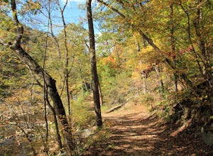
Difficult Run, Ridge, and River Trails
4.53.28 mi / 463 ft gainDifficult Run is a popular hiking location right down the street from Great Falls National Park. Starting at the Difficult Run parking lot you head to the trail at the far end of the lot. The trail will split. The green blazes will take you to the left but you can also stay to the right and hike ...Read more -
Stonehouse, Virginia
Stargaze at Little Creek Dam Road
3.0This stargazing spot is a wonderful place to test your star photography, or a sweet place to relax and chill with friends. It's a quiet and relaxing spot.It's a little windy, so bring appropriate clothing to sit there and stargaze. And make sure to go when there are clear skies, and on a night wi...Read more -
Ewing, Virginia
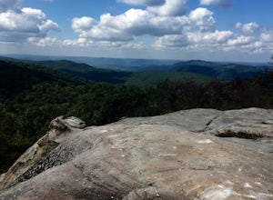
Hike to White Rocks
5.06 mi / 1500 ft gainStarting at the Ewing Trailhead, in Ewing, VA, you will meander up the ridge for about 2.5 mi before meeting up with Ridge Trail. The ascent is approximately 1500 ft up the side of the majestic White Rock Ridge. Mud, loose rocks, and some very steep climbs are included.Once at the top, left takes...Read more -
Roanoke, Virginia
Canoe or Kayak at Carvins Cove
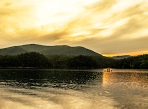
5.0Part of the attraction to the Cove is that you can literally leave work at 5pm and be in the water paddling in plenty of time to catch the sunset. Catching a sunrise is slightly more difficult just because the boat landing doesn't open until 6:30am. However, it's still possible to paddle out and ...Read more -
Mouth of Wilson, Virginia
Rhododendron Trail to Rock Croppings
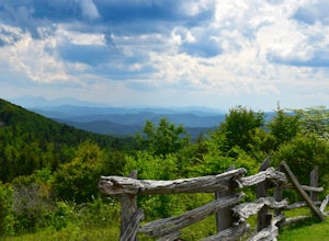
5.01.77 mi / 289 ft gainIn order to go when the Rhododendron are blooming you'll need to aim for the first three weeks of June. Starting from the Massies Gap parking area in the Grayson Highlands State Park, follow the trail through the field and towards the base of a large hill. You will see a fence that runs along t...Read more -
Newport, Virginia
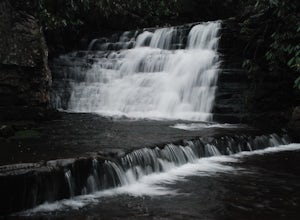
Photograph Sinking Creek Falls
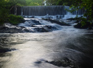
5.0Park at the Clover Hollow Covered Bridge, and walk or bike 1/3 mile along Clover Hollow Rd in the direction of Blue Grass Trail Rd or to the pin dropped in the location below.When you can see the waterfall, carefully walk down the bank where you'll have perfect angles of the waterfall and surrou...Read more -
Haysi, Virginia
Explore Breaks Interstate Park
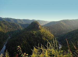
5.0Breaks Interstate Park lies on the border of western Virginia and eastern Kentucky, and is known as the “Grand Canyon of the South”. This park surrounds a 5-mile long gorge created by the Russell Fork River, which lies 1650 feet below the park.Once you enter the park, stop at the first overlook o...Read more -
Roseland, Virginia
Photograph Devils Knob Overlook
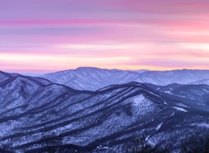
4.5Located next to Wintergreen Resort, Devils Knob is super easy to get to and has an amazing 180 degree panoramic view. Looking Southwest over the Blue Ridge Mountains and the Blue Ridge Parkway, this 3,800 foot overlook had a great view of Three Ridge Mountain and the Priest. Located on Devils Kno...Read more -
Williamsburg, Virginia
Visit Colonial Williamsburg
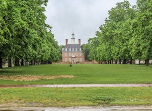
4.6Williamsburg, Virginia , founded in 1632, is one of the oldest cities in America. The city has played major roles in American history as the capital of Virginia and as a political center for the American Revolution. Today the city offers an abundance of museums,beautiful bed and breakfasts, and l...Read more -
Craig County, Virginia
Hike to Kelly's Knob via the Appalachian Trail
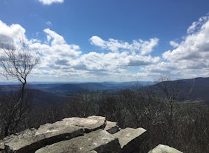
4.34 mi / 500 ft gainThis is a great day hike for families or groups looking to get out for a short hike on the Appalachian Trail in Jefferson National Forest.From 460W Take Blue Grass Trail Rd then a left onto Clover Hollow Rd/State Route 601. Continue on this for 6.7 miles until you reaches an intersection with the...Read more -
Richmond, Virginia
Explore the James River Pipeline in Richmond
5.0Pipeline is a metal catwalk located on top of a giant stormwater pipe in downtown Richmond. Above the pipe runs the CSX railway line; parallel are Class IV rapids of the James River, fittingly called "Pipeline Rapids". From the address provided, turn right on E Byrd St, which will take you down ...Read more -
Rileyville, Virginia
Hike to Overall Run Falls
5.06.1 mi / 1700 ft gainStart at the Hogback parking lot at MP 21.1 on the Skyline Drive. Take the Appalachian Trail south for 0.8 miles, and turn right onto the Tuscarora-Overall Run Trail. After 0.5 miles you will come to another intersection-keep right to stay on the Tuscarora-Overall Run Trail. A final intersection...Read more -
Narrows, Virginia
Hike Sentinel Point and Mill Creek Falls
5.07.8 mi / 1800 ft gainThere are many trails in the area so here is a map to start out because it can get confusing:http://gilescounty.org/images2/Map-Town%20Farm-Hiking%20Trails%20%282010%29.pdf.From the parking area, keep to the left side of the stream and head up the gravel road. You'll soon come to the Mill Creek ...Read more -
Crozet, Virginia
Photograph Charlottesville Reservoir
4.7The reservoir is located in the Piedmont Hills just outside the city of Charlottesville, Virginia. So technically Charlottesville Reservoir is not in Shenandoah National Park, but it is only a few feet outside of the park, and it has an outstanding view of the Blue Ridge Mountains that make up th...Read more

