Eagle Rock, Virginia
Top Spots in and near Eagle Rock
-
Catawba, Virginia
Dragon's Tooth Trail
4.94.44 mi / 1394 ft gainFrom I-81: Exit 140 and take Highway 311 north for 11 miles towards New Castle. Dragon’s Tooth parking lot is on the left, just past Catawba Grocery. LAT 37.3787 LONG -80.1563 Ready to tackle the Dragon? This 4.6 mile, out and back, trail provides one with a true hiking experience. The hike wil...Read more -
Catawba, Virginia
Virginia Triple Crown
5.029.24 mi / 5531 ft gainThe Virginia Triple Crown is a combination of three of the most spectacular and popular hikes in the region. It combines the Dragon’s Tooth, McAfee’s Knob, and Tinker Cliffs hikes into one long multi-day hike along the Appalachian Trail. It makes for an excellent 2 day backpacking trip, with many...Read more -
Lexington, Virginia
House Mountain Trail
4.08.93 mi / 2733 ft gainHouse Mountain provides two amazing views via two out-and-back hikes, for a combined hike of 8.75 miles. If you’re short on energy and/or time, the 6 miles round trip to Big House Mountain is (in my opinion) the better of the two overlooks. Either way, keep in mind that this hike covers a great...Read more -
Buchanan, Virginia
Hike Apple Orchard Mountain
4.04 mi / 400 ft gainThe top of Apple Orchard Mountain is easily accessible via the Appalachian Trail. Access the trail at the Sunset Field Overlook at MP 78.4 on the Blue Ridge Parkway. The concrete path will end shortly and turn into a blue blazed trail. Follow this for 0.25 miles until it intersects the Appalachia...Read more -
Natural Bridge Station, Virginia
Hike Devil's Marbleyard
5.03.24 mi / 1421 ft gainWant to scale the side of a rock face? If you do, I highly suggest adding this adventure to your list. Hiking to the marbleyard and back to the parking lot will have you at a 3 mile journey. How many hours will it take to hike the trail and tackle Antietam Quartzite boulders larger than cars you ...Read more -
Natural Bridge Station, Virginia
Swim at Arnold Valley Pool
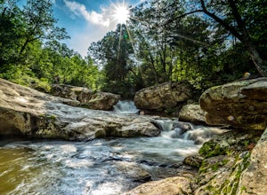
4.6Arnold Valley Pool might be a couple hundred feet from the road but most people don’t even notice when they pass by. This swimming hole is located on the same road as Devil’s Marbleyard and is the perfect place to cool off after the intense hike at the Marbleyard or on any hot summer day. The swi...Read more -
Big Island, Virginia
Hike to Little and Big Rocky Row
5.010.8 mi / 2700 ft gainStarting at the James River Footbridge, which is the longest foot traffic only bridge on the entire Appalachian Trail. Head north on the Appalachian Trail. You will quickly cross over Rt. 501. After a mile of hiking through the woods skirting the Rocky Row Run stream, you will cross over Forest ...Read more -
Roanoke, Virginia
Hike along the River Walk Trail in Roanoke's Explore Park
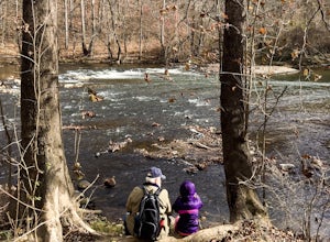
3.01.5 miStarting at a great spot to picnic, fish, or put in a kayak, this casual hike meanders along the Roanoke River. Along the trail you can enjoy views of some small river rapids and the beautiful trees surrounding along the river.The trail begins at a parking lot at the end of Rutrough Road. There ...Read more -
Waiteville, West Virginia
Hanging Rock Raptor Observatory
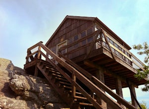
4.81.93 mi / 381 ft gainLocated on Limestone Hill Road north of Waiteville, WV at about 3800 feet above sea level is an old Fire watch tower. The tower, built in 1956 was abandoned in 1972. In 1983 the US Forest Department acquired this area as part of the Jefferson National Forest. Since then the Tower has become know...Read more -
Roanoke, Virginia
Take in the View at Roanoke Mountain Overlook
4.0The Roanoke Mountain Road is a 4 mile one-way loop accessed at mile post 120.3 off the Blueridge Parkway. It's a winding single-lane road, and I would certainly not venture up there with a trailer. There is a large parking area at the main overlook which provides an excellent view of the sunset. ...Read more -
Rockbridge Baths, Virginia
Fly Fish Goshen Pass
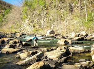
5.0The fly fishing on the Maury River is one of a kind through the Goshen Pass. The Pass is littered with huge boulders, which actually makes it possible to fish without waders, although it's much easier and more enjoyable with waders.From Lexington, VA, take Route 39 towards Goshen for approximatel...Read more -
Rockbridge Baths, Virginia
Rock Climb at Goshen Pass
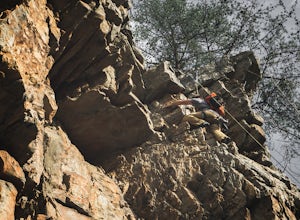
5.0Goshen Pass is a beautiful area for kayaking and fishing in Bath County, Virginia near Lexington. But not as well known is the fact that there are a few places that are great for rock climbing. You'll want to park at the swinging bridge which is two miles past the picnic area on route 39 once you...Read more -
Goshen, Virginia
Hike Goshen Pass
4.35.6 mi / 1200 ft gainThe parking for the trailhead is down an unmarked gravel/dirt road about 1.5 miles upriver from the Virginia Wayside rest area on Route 39 West. You'll see the swing bridge out across the river and the road will be immediately after this on your right. The road goes back about 200 yards to the pa...Read more -
Newport, Virginia
Hike to the Keffer Oak on the Appalachian Trail
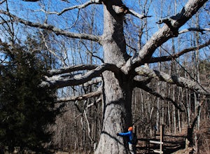
4.32.6 mi / 600 ft gainYou can park your car at the small gravel lot where VA-42 and Rt. 629 intersect. Starting from the Appalachian Trail crossing at VA-42, head north on the AT, which winds through some grass meadows. After about 0.8 miles into the hike you will cross Rt. 630 (Northside Road) on a bridge over Sinki...Read more -
Renick, West Virginia
Explore Beartown State Park
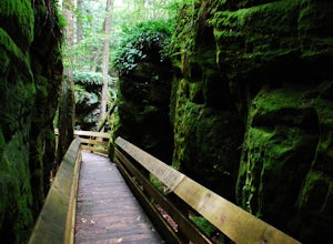
4.30.6 mi / 50 ft gainFrom Rt. 219 about 7 miles south of Hillsboro, West Virginia, there are well-marked signs for Beartown State Park. This narrow road winds about a mile until the small parking area for the state park. The boardwalk trail starts to the left of the bathrooms, and it is encouraged to walk the trail...Read more -
Amherst, Virginia
Swim at Panther Falls
5.00.7 mi / -100 ft gainFrom Lexington or Buena Vista, Virginia, take Rt. 60 east for several miles. As soon as you pass under the Blue Ridge Parkway, look for a gravel road on your right marked Panther Falls Road. This is a fairly bumpy gravel road, so take it easy. Follow Panther Falls Road down the mountain for just ...Read more

