Centerville, Utah
Top Spots in and near Centerville
-
Ogden, Utah
Hike the Wheeler Creek and Icebox Canyon Loop
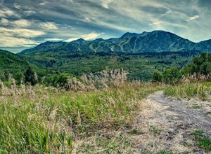
4 mi / 400 ft gainTo get to the trailhead from Ogden drive up Ogden Canyon toward Pine View Reservoir. Right when the canyon begins to open up and you can see the actual dam there is a turn off on the south side of the road that leads down a dirt road to a very small parking area and the trailhead. If the parking ...Read more -
Coalville, Utah
Camp at Echo Reservoir
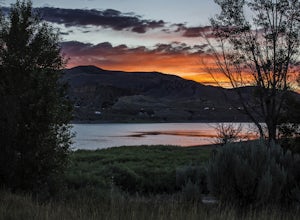
5.0This scenic reservoir provides you with the opportunity to spend the day on the water. To get here, drive around 45 minutes from Park City toward Coalville. Get off for the exit and take a left once in town; drive along this road until you see the campground entrance on your left.Overnight passes...Read more -
Salt Lake City, Utah
Backcountry Ski Beartrap Fork
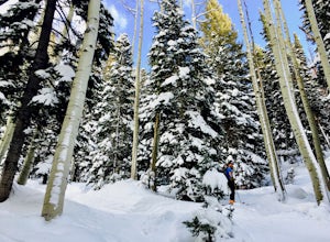
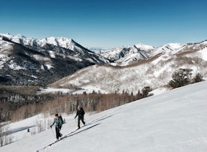
5.04 mi / 2016 ft gainYou can access the trailhead to Beartrap by driving up Big Cottonwood Canyon 10.4 miles and parking on the right side of the road. You will see the "Bear Trap Fork Rd" sign on the left side of the road, this is where the trailhead begins. Make your way up the skin track through the dense aspens u...Read more -
Sandy, Utah
Bell Canyon's Waterfall
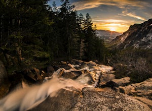
4.64.64 mi / 1549 ft gainIf you keep a steady pace, the hike takes about an hour each way, so allow time when trying to catch the sunset. The hike is pretty easy until right before you reach the falls, where there is a big, steep hill you have to climb. From the parking lot/trailhead, head up the path and head left when...Read more -
Salt Lake City, Utah
Camp at Willow Lake
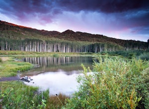
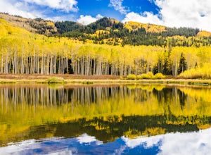
4.62.41 mi / 659 ft gainThe trailhead to Willow Lake is about 11 miles up Big Cottonwood Canyon and is on the north side of the road right after the passing lane begins. It can be easy to miss, and is only marked with a plaque on a rock (40.630302, -111.604639). As you hike a little in from the road you will see the tra...Read more -
Salt Lake County, Utah
Willow Lake
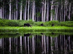
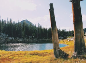
4.52.41 mi / 659 ft gainThe Trail: Follow the marked trail and you'll hike less than a mile up to the edge of Willow Lake. Moose like to hang out in the thick willows there, so make lots of noise to warn them that you're coming and you won't startle any. Standing on the shoreline, you'll have a great view of Solitude ...Read more -
Salt Lake City, Utah
Backcountry Ski Willow Fork
3 mi / 1700 ft gainWillow Fork is just across the mountain from Solitude Ski Resort in Big Cottonwood Canyon. You can access Willow Fork from a few different trailheads; either from the Willow Heights Trailhead or across the street from both the lower and upper Solitude parking lots. The Willow Heights Trailhead wi...Read more -
Salt Lake City, Utah
Photograph Wildlife at Willow Lake
2.2 mi / 629 ft gainWillow Lake has become my favorite spot in all of Utah. It feels so distant from civilization in the mountains, but is only a 25 minute drive from Salt Lake City. I have hiked to Willow Lake close to 10 times this year during different seasons, and have never seen more than 5 people on the trail...Read more -
Park City, Utah
Hike Quarry Mountain in Park City
2.2 mi / 740 ft gainThe Quarry Mountain trail is a less-traveled option than the Iron Mountain trail in Park City offering unique views of McPolin Farm to the west, Kimball Junction and Old Ranch Road to the north, Park City to the south, and Promontory Ranch to the East. The trail starts at the McPolin Farm parking...Read more -
Park City, Utah
McPolin Barn
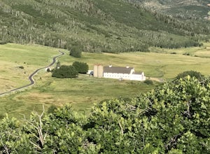
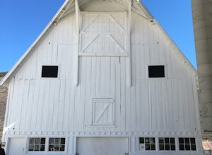
A historic farmstead, The McPolin Farmstead is north of Park City, Utah. A fun place to visit with the family. It has buildings constructed c.1921 and later, including a large dairy barn. The lovely trail, named after the farm is nearby to walk along.Read more -
Sandy, Utah
Dimple Dell Trail West
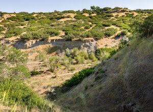
3.88 mi / 236 ft gainDimple Dell Trail West is an out-and-back trail where you may see beautiful wildflowers located near Sandy, Utah.Read more -
Sandy, Utah
Upper Bell Canyon Reservoir via Bell Canyon Trail
4.39.12 mi / 4285 ft gainThis is one of my favorite spots in the state of Utah! It is completely secluded high up on the Wasatch front. You can hike here for a nice relaxing day, an overnight camping trip, or do a little fly fishing and hook some fun little brooke and cutthroat trout. The Bell Canyon trail is one of the...Read more -
Sandy, Utah
South Thunder Mountain via Bell Canyon
11.78 mi / 5968 ft gainStarting at the Bell's Canyon trailhead, the trail follows a river for most of the way, passing two reservoirs and two waterfalls. This trail is intermediate, depending on your destination. The first and most commonly visited section of the trail is the first reservoir. An easy hike of less than ...Read more -
Sandy, Utah
Explore Little Cottonwood Canyon's Lisa Falls
3.8Lisa Falls sits approximately 0.22 miles from Little Cottonwood Canyon Road. While the trail is not long or particularly steep, there are some large step ups that could be difficult for either the very old or very young. Nonetheless, this is a great option for a family outing.Once you arrive at t...Read more -
Salt Lake City, Utah
Backcountry Ski USA Bowl
1.6 mi / 1700 ft gainTo get the the trailhead, drive up Big Cottonwood Canyon until you reach the upper entrance into Solitude Ski Resort. You can park on the road just below the entrance to the resort. Across the street is a road called Old Stage Road, this is where the trail head begins. The road is covered in snow...Read more -
Sandy, Utah
Summit the Pfeifferhorn
5.09 mi / 3700 ft gainStarting at the White Pine Trailhead in Little Cottonwood Canyon, UT, hike southwest until reaching the junction to Red Pine Canyon. Take the trail that crosses the stream and continues west around the ridge. The trail will quickly turn south and begin to gain elevation. Continue west as you pass...Read more

