Utah
Looking for the best camping in Utah? We've got you covered with the top trails, trips, hiking, backpacking, camping and more around Utah. The detailed guides, photos, and reviews are all submitted by the Outbound community.
Top Camping Spots in and near Utah
-
Lake Powell, Utah
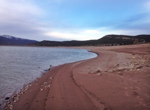
Boat-In Camp at The Rincon in Lake Powell
To get to The Rincon, you will first want to park your car and rent a boat (or bring your own power boat) at Bullfrog Marina. The marina does rentals for everything from houseboats to power boats to jet skis and kayaks/SUP boards. For this adventure, I recommend either a houseboat or a power boat...Read more -
Millard County, Utah
Bouldering at Ibex
1.0Climbing at Ibex is a unique experience and is located in, quite literally, the middle of nowhere. The easiest way to get there is to take Highway 50 in Eastern Utah. If you're heading west, you'll take a left turn around mile marker 38 or 39. If you're heading east, you'll take a right turn. At ...Read more -
San Juan County, Utah
Backpack Grand Gulch
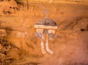
10 mi / 600 ft gainBears Ears National Monument is a truly special place. We voyaged willingly on a journey of discovery into the roots of who we are as human beings, and we were not disappointed: the ruins accessible in the canyons brought tears to our eyes. While Bears Ears used to receive just 9,000 visitors ann...Read more -
Marble Canyon, Utah
Hike the Buckskin Mountain Passage from Stateline Campground on the Arizona Trail
8 mi / 1400 ft gainDepending how you approach this 800 mile trail, I did the first 4 miles or last 4 miles as an out and back from Stateline Campground on the Utah/Arizona state line and the border of Vermilion Cliffs National Monument. This section of the trail does not pass through Vermilion Cliffs N.M. b...Read more -
Fountain Green, Utah
Climb at Maple Canyon
Regardless on whether you're northbound / southbound, jump on I-15 and take exit 225 in Nephi. Head east. Continue on this road (100 N) for 14 miles. Then, turn right on 400 S and after a 1/2 mile turn left onto West Side Road. This road will take you along a bunch of farmlands. After about 6 mil...Read more -
Boulder, Utah
Camp at Deer Creek Campground
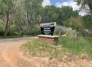
5.0Deer Creek campground is off of the Burr Scenic drive and right outside of the lower part of Capitol Reef National Park. This campground is perfect if you are driving from Bryce Canyon to Capitol Reef. There are a total of 7 tent sites in the campground. There are no spots for RVs and no turn aro...Read more -
Monticello, Utah
Backpack Salt Creek
33 mi / 1000 ft gainThe Needles District of Canyonlands receives 6 times as many backpackers as its more popular neighbor across the Colorado River, Island in the Sky. The Needles has an excellent trail network that is incredibly diverse, featuring amazing rock features as well as grassy meadows and savannahs. Whil...Read more -
Sevier, Utah
Camp at Castle Rock Campground
Castle Rock Campground is located within Utah's Fremont Indian State Park just off Interstate 70, which according to the camp host, is a favorite place to camp for people traveling between California and Colorado. At 6,200 feet in elevation, the temps are manageable in the summer, and the large ...Read more -
Peoa, Utah
Camp at the Rockport State Park Yurts
The yurts at Rockport are a great way to get out into nature. You can chose between yurts or cabins. Yurts cost $70 a night and cabins cost $80 a night. Spots will have to be secured with reservations in advance. You can find more information at http://rockportmarina.checkfront.com/reserve/. Ther...Read more -
Mexican Hat, Utah
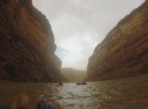
Raft the Lower San Juan River
The put-in for the lower segment of the San Juan river is in the center of Mexican Hat. This is a permitted section of river run by a lottery, and you work to secure a permit through https://www.recreation.gov/permits/250986 Briefly after take off, the canyon walls begin to climb taller above the...Read more -
Springdale, Utah
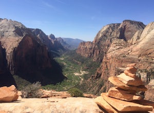
Angels Landing, West Rim, Telephone Loop
15.34 mi / 4304 ft gainThe Angels Landing, West Rim, Telephone Loop Trail is a 14+ mile heavily-trafficked loop trail located in Zion National Park near Springdale, Utah. This iconic trail offers incredible views of Zion Canyon and is rated as difficult, with steep drop-offs on both sides of the narrow ridgeline sect...Read more -
38.089236,-111.343124, Utah
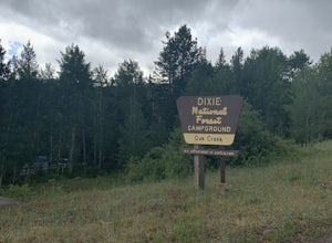
Camp at Oak Creek Campground
This campground is extremely easy to get to and is in a good location. It is located in the Dixie National Forest along Utah highway 12. The campground has a total of 9 spots most are good for small RV but nothing longer than 20ft. The campground has no electricity or water hookups but a water sp...Read more -
Escalante, Utah
Escalante River Trail: Escalante to UT-12
12.97 mi / 3373 ft gainEscalante River Trail: Escalante to UT-12 is a point-to-point trail that takes you by a river located near Eggnog, Utah.Read more

