Bryce, Utah
Top Spots in and near Bryce
-
Escalante, Utah
Backpack the Escalante River
14 mi / 400 ft gainThe Escalante River trail is an easily accessible, moderately strenuous hike within Grand Staircase-Escalante National Monument. The national monument encompasses over 2 million acres of wilderness, choc-full of large canyons, narrow slot canyons, rivers, hoodoos, arches, natural bridges and more...Read more -
Escalante, Utah
Escalante River Trail: Escalante to UT-12
12.97 mi / 3373 ft gainEscalante River Trail: Escalante to UT-12 is a point-to-point trail that takes you by a river located near Eggnog, Utah.Read more -
Escalante, Utah
Covered Wagon Natural Bridge Trail
4.00.59 mi / 66 ft gainCovered Wagon Natural Bridge Trail is an out-and-back trail where you may see beautiful wildflowers located near Escalante, Utah.Read more -
Duck Creek Village, Utah
Hike the Cascades Trail in Dixie National Forest
1.2 mi / 137 ft gainHiked the cascades trail from the parking lot through a forest of spruce trees and many interesting wildflowers. The trail has good views of the National Forest and Zion National Park in the distance. The trail has some elevation gain but not too bad. The waterfall is rather small but a refreshi...Read more -
Brian Head, Utah
Alpine Pond North Loop
1.22 mi / 79 ft gainAlpine Pond North Loop is a loop trail that takes you by a lake located near Cedar City, Utah.Read more -
Brian Head, Utah
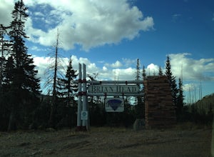
Hike the Brian Head Loop Trail
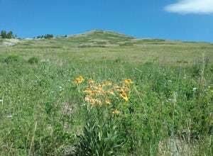
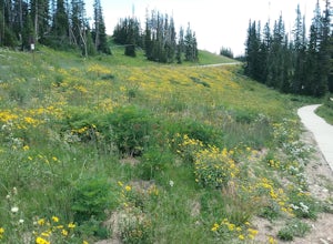
0.2 miDrive to the peak on county road 47 to the parking area. Hike around the peak and admire the beautiful views of the mountains and the resort below. Be sure to take pictures of the abundant wildflowers around the peak. The drive to the peak is very scenic.Read more -
Brian Head, Utah
Hike the Sunset Trail
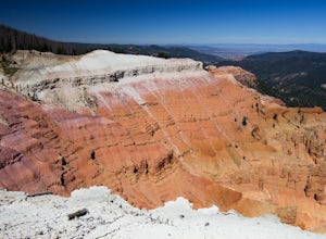
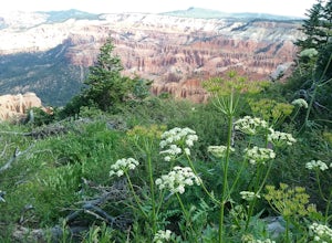
4.01 mi / 200 ft gainCedar Breaks National Monument is a gorgeous multi-colored limestone amphitheater that many consider to be more beautiful than Bryce Canyon National Park given its greater depth over a shorter distance and higher elevation. It is far less traveled than its neighbors of Zion and Bryce. The Sunset ...Read more -
Brian Head, Utah
Hike Ramparts Trail via Spectra Point
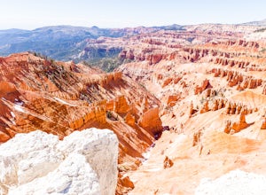
5.04 miTo call this place "breathtaking" would not do it justice. The rusty red, orange, purple colors of million-year-old rock erosion are otherworldly, something you'd imagine on Mars. The Indians named Cedar Breaks the "Circle of Painted Cliffs," and when you see this brilliantly colored coliseum you...Read more -
Brian Head, Utah
Hike the Sunset Trail, Cedar Breaks National Monument
2 mi / 100 ft gainStarted the hike at the visitor center. The walk is fairly level and there is not much altitude gain. There are very good views of the park and in the summer there is a profusion of wildflowers. At the beginning of the trail the different wildflowers are labeled.Read more -
Brian Head, Utah
Hike the Spectra Point and Rampart Overlook Trails
3.7 mi / 836 ft gainPark at the visitor center parking lot and start hiking the trail. You'll admire the great views of the breaks and canyons below. If you hike in the summer, be sure to take the time to photograph the many beautiful wildflowers, old cedars, and marmots.Read more -
Brian Head, Utah
Canyoneering Benson Creek
2 mi / 200 ft gainDisclaimer: Canyoneering is a dangerous and technical activity. Don’t enter any canyon without the skills to match it, or the knowledge to navigate it. Benson Creek is a pleasant little spot for families to hike a waterfall (Hidden Haven Falls), or a fantastic spot for canyoneers to rappel some w...Read more -
Orderville, Utah
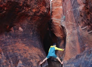
Hike Red Hollow Slot Canyon
5.03.2 mi / 200 ft gainThe trailhead is about 18 miles from the eastern entrance of Zion National Park, located in the small town of Orderville. In Orderville, the streets aren't marked too well, so follow the road that goes past the cemetery and the school, 100 East. When the road Ts, turn left. The road ends in a san...Read more -
Escalante, Utah
Zebra and Tunnel Slot Canyons Loop
4.86.63 mi / 535 ft gainThis place is just outside of Escalante, Utah, about 6 miles drive down the Hole in the Rock Road / BLM 200. You will see a small parking lot on the right side, the trailhead is not marked, but it's right cross the road from parking lot, once you see the trail you can just easily follow it for 1....Read more -
Escalante, Utah
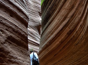
Zebra Slot Canyon
5.05.18 mi / 315 ft gainZebra slot canyon is located in the heart of Grand Staircase Escalante National Monument in southern Utah. The trail takes you through sandy washes to one of the areas most popular slot canyons to photograph and explore. The hike starts from the parking lot along Hole-In-The-Rock road. Hole-In-T...Read more -
Orderville, Utah
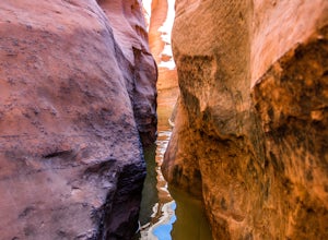
Hike through the Red Caves (Sand Wash)
5.0They don't require any technical gear unless you would like to do two short rappels near the beginning of Lower Red Cave and one short rappel into the Upper Red Cave. We didn't take a rope and were fine although the canyons are usually filled with water and have some difficult obstacles to overco...Read more -
Kanab, Utah
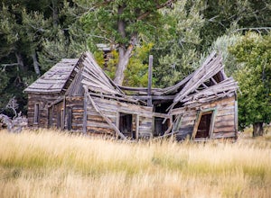
Visit the Gunsmoke Movie Set
4.0The television series of Gunsmoke was an American classic. 635 episodes aired on prime time television over the course of twenty years, from 1955 to 1975. The movie set was the largest set constructed in the Kanab area. After the filming ended, the buildings were not maintained and became heav...Read more

