Top Spots in and near Arches National Park
-
Moab, Utah
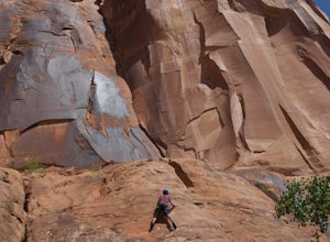
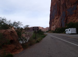
Moab's Wall Street is exactly what it sounds like, but nothing like the "Wall Street" you're familiar with. Several miles off Highway 279, it hugs the Colorado River on one side and a towering 500ft sandstone wall littered with climbing routes on the other. There is easy access to all of the clim...
Read more
-
Thompson, Utah
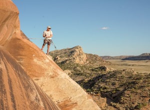
This area is super quiet and uncrowded and hosts a fun mix of sport and trad climbing. This particular route is bolted, so are most immediately surrounding it.
The route works across a few slabby, mildly spooky moves (slightly run out) at the beginning then cruises up a fun arete to the bolted a...
Read more
-
Moab, Utah
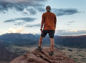
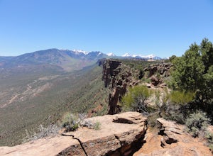
Parriott Mesa Trail is an out-and-back trail that takes you past scenic surroundings located near Moab, Utah.
Read more
-
Moab, Utah
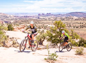
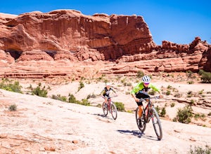
The Ramblin' Trail, part of the Navajo Rocks trail system, is a beginner to intermediate mountain biking trail with a great mix of slickrock, dirt trails, and some sand that features excellent views of hoodoos, Navajo Sandstone, and the general Colorado River watershed redrock.
Located off Utah H...
Read more
-
Moab, Utah
Big Mesa trail is the jewel of the Navajo Rocks trail system, containing all of the awesome mountain biking features one comes to expect in Moab, from slickrock to sand chutes with epic views of the terrain.
Located off Utah Highway 313 at the Navajo Rocks Trailhead parking lot, 19 miles from dow...
Read more
-
Moab, Utah
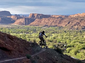
This ride is one of the most popular in Moab, let alone the state of Utah. With that said, you probably won't have the trail to yourself so be sure to take time to hangout at the best vista points and chat with the other riders. Although the shuttles try to stagger the drop-offs, there will be ri...
Read more
-
Moab, Utah
3.3
2.19 mi
/ 505 ft gain
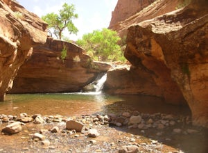
This is a great little swimming hole spot in Moab. A lot of locals will call it The Power Dam. It's just a short easy 1.5-mile hike up the canyon to a natural swimming pool where you can swim and hang out. This is a perfect little spot to check out in Moab while visiting the great national parks....
Read more
-
Moab, Utah
There are multiple trailheads to access the Pipe Dream trail in Moab. This time we chose to start at the Jackson Street parking area and rode the pipeline trail south for approximately 3-miles. This section of trail is a 2-track road that follows, you guessed it, the gas pipeline. It climbs aroun...
Read more
-
Moab, Utah
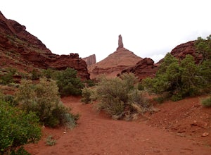
Castleton Tower is a popular destination for rock climbing when in the Moab area. However, if you are not a rock climbing, you can still enjoy the scenery of the tower and the surrounding desert. Located on BLM land, there are several access trails off the La Sal Loop road. You can't miss the tow...
Read more
-
Moab, Utah
Just north of Moab driving out on route 191, look for Potash Road, also known as route 279 just after the Colorado River. Turn left on Potash road and and drive five miles south. You will see a paved pull-out on the Colorado River side of the road with a sign for the petroglyphs.
The rock art i...
Read more
-
Moab, Utah
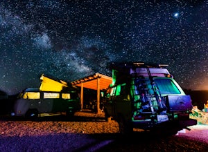
Kane Creek is a massive canyon, with the Colorado river at it's feet and red cliffs towering on either side. There are numerous trail heads and campgrounds the farther you explore into the canyon. However, these sites fill up fast. The canyon restricts camping to only designated sites, capping th...
Read more
-
Moab, Utah
If you haven’t been to Moab, UT then you are missing out. There is truly something for everyone in this breathtaking desert landscape which has become increasingly popular over the past several years. There are two major national parks nearby, Arches and Canyonlands, which are easily accessible f...
Read more
-
Lone Mesa Group Gampground Road, Utah
Lone Mesa Campground off Utah Highway 313, 8 miles from Highway 191, and 20 miles from Moab serves as an excellent basecamp for accessing the fantastic Navajo Rocks mountain bike trail system, Dead Horse State Park, and Canyonlands National Park. In fact, the Big Mesa trail goes right through the...
Read more
-
Moab, Utah
Williams Bottom Campground and its 17 first-come first-serve campsites are tucked into the side of the Colorado River Canyon on Utah Highway 279 aka "Potash Road" just 15 minutes from downtown Moab.
It is commonly known as one of *the* rock climbing campground on the west side of Moab, as there a...
Read more
-
Moab, Utah
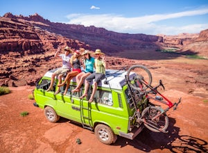
Hurrah Pass is a 19.5 mile out and back trail/road that leads from the Colorado River Canyon through Kane Creek Canyon and up to Hurrah Pass at 4,780'. While technically considered a 4x4 trail once you begin your ascent out of Kane Creek Canyon, this can be done with a high clearance 2wd vehicle ...
Read more
-
Moab, Utah
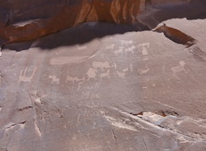
Not many people visit this petroglyph site because of the steep access trail. From the Poison Spider parking lot, walk the trail that leads to the slab with an obvious dinosaur track highlighted when people put plaster in the track to make a mold. This, of course, is prohibited. Work your way up...
Read more

