Top Spots in and near Arches National Park
-
Castle Valley, Utah
4.4
0.56 mi
/ 135 ft gain
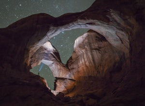
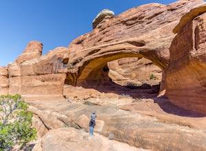
The hike to Double Arch is a relatively flat and easy hike of 0.5 miles roundtrip. You can add this to the rest of the quick spots you may want to visit on your visit to Arches.This arch is created by two arches that shares the same stone as the foundation for their outer legs. This arch was form...
Read more
-
Moab, Utah
To get to the trailhead: After entering the park, keep driving along the main road until you see signs for The Windows Area (just past the Balanced Rock and a little over 9 miles from the Visitor Center). Follow this road until it ends in a parking lot and you see the arches to your right.
The ...
Read more
-
Moab, Utah
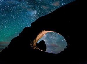
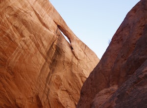
Arches National Park is a must see for all photographers, but especially for astrophotography. Many of the most common places to shoot are balanced rock, and Delicate Arch and there's a good reason, these are beautiful places. North Window Arch is much less common, and even on a moonless night,...
Read more
-
Moab, Utah
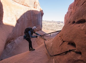
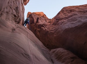
This canyon requires an Arches Canyoneering Permit, two 60m ropes, 100 ft of webbing, and your normal canyoneering kit.
To reach the parking for the canyon, drive five miles or so into Arches until you reach a bridge. Shortly after the bridge, there will be a pull-off to the left where you can ...
Read more
-
Moab, Utah
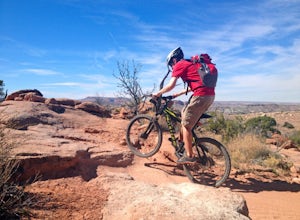
Starting from the trailhead north of Moab on Dalton Wells Rd. Follow the Copper Ridge 4x4 road until you see the signs for the start of the Sovereign Trail. It starts with a steep uphill, but once you crest the top of the hill you are rewarded with a beautiful view of the La Sals and surrounding ...
Read more
-
Moab, Utah
5.0
2.46 mi
/ 440 ft gain
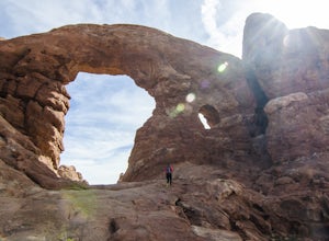
Tower Arch is located in the remote Klondike Bluffs area in Arches National Park. If you're looking at the park map, you can see the unimproved Salt Valley Road that leads south then west from the main road towards Klondike Bluffs. The road is rough in a few places, but can easily be traversed in...
Read more
-
Moab, Utah
Located in Southeast Utah, 5 miles North of Moab, Utah. From Hwy 70, take Exit 182 towards Crescent Jct/Moab, taking Hwy 191 S for about 25 miles until you reach Arches National Park on your left.From the Visitor Center, the La Sal Mountains Viewpoint area is about a 4 mile ride on your right. Th...
Read more
-
Moab, Utah
Willow Springs Trail is state-owned land located 13 miles north of downtown Moab Utah. The state provides some vault toilets and port-o-lets throughout the area, but there are no designated campsites or fire rings. Along the main road, there are plenty of large flat spots that people with RV's or...
Read more
-
Moab, Utah
For this descent you will need to be comfortable with 4th class slick rock, have two 60m ropes, and an Arches National Park canyoneering permit along with your usual canyon kit.
MMI Canyon can be accessed with 4WD/AWD as long as it has not rained. The pin on the map will take you to this locati...
Read more
-
Moab, Utah
For this descent you will need two 60 meter ropes, an Arches National Park canyoneering permit, be comfortable with 4th class slick rock, and have your usual canyoneering kit. This canyon does require some basic chimneying and canyoneering climbing techniques as well. The trailhead can be reache...
Read more
-
Moab, Utah
I think these tracks are the best in Moab. Take route 191 north out of Moab for about 13 miles (mile post 142). Klondike Bluff road is on the right. If you pass the airport, you went too far. This road is easily accessed with two wheel drive cars. The parking area is at the end where you will see...
Read more
-
Moab, Utah
The Moab Brand Trails are a series of trails about 7 miles north of the Colorado River, north of Moab. They get their name from four of the major trails that spell out "MOAB." They include the Bar M, Circle O, Rockin A and Bar B. I was curious how they came to the names and my local bike shop m...
Read more
-
Moab, Utah
4.2
1.83 mi
/ 318 ft gain
From the Park Avenue Trail parking area, you can walk up towards the lookout and admire the beauty, or you can hike down the steep path towards the canyon. The trail takes you down the wash to Courthouse Towers. You can either hike round trip to Courthouse Towers and back, or have someone drop yo...
Read more
-
Grand County, Utah
The Monitor-Merrimac Trail is a scenic beginner level mountain bike trail in Moab, UT. It is located on BLM Land (Bureau of Land Management), so it is free to use year round. The trail is a 5.5 mile loop and has about 630’ of elevation gain.
The Monitor-Merrimac Trail is slickrock for the majo...
Read more
-
Moab, Utah
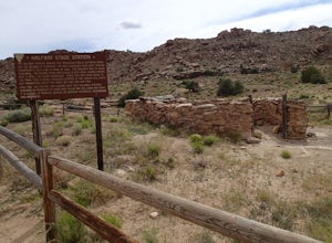
The Halfway Stage Station is a ruin site that is located off of Mill Canyon rd. This station served as the half way mark between Moab and Thompson which is where the train station was. It was 35 miles between Moab and Thomson so travelers would stop for lunch on there way to or from Thompson. The...
Read more
-
Moab, Utah
This short trail is located off Mill Canyon rd about 15 minutes north of Moab. A short walk from the parking area leads to an established interpretive trail with signage of where to look for the fossils and a description of what type of dinosaur they belong to. Several different types of dinosau...
Read more

