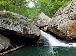
Tennessee
Find local adventures, unique places to stay, and local adventure tours in iconic destinations like Great Smoky Mountain National Park and across the state. Hiking, backpacking, biking, rafting, and more.
Top Spots in and near Tennessee
-
Copperhill, Tennessee
Hike the Beech Bottom Trail to Jacks River Falls
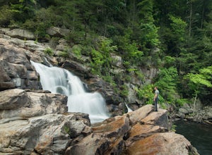
5.09 mi / 315 ft gainJacks River Falls is one of Georgia's most impressive waterfalls. Containing several cascades that combine to an 80 foot waterfall, this destination provides spectacular views and refreshing pools to take a dip in. You can approach the falls from either Jacks River Falls trail or the Beech Bott...Read more -
Lookout Mountain, Tennessee
Photograph Moccasin Bend From Point Park
4.0Located in Chickamauga & Chattanooga National Military Park, Point Park is a ten acre memorial park that overlooks the Lookout Mountain Battlefield and the city of Chattanooga. There is a paved walking path around the park that takes visitors by several historic tablets, monuments, confederat...Read more -
Palmer, Tennessee
Hike the North Plateau-North Rim Loop at Savage Gulf
4.014.7 mi / 2483 ft gainFrom the Savage Ranger Station, take the Savage Day Loop for roughly 2.2 miles until you reach the junction. From there take the North Plateau trail and return on the North Rim trail. The elevation gain on this trail is rather gradual and and subtle, but it is a long trek that requires endurance ...Read more -
Lebanon, Tennessee
Hike the Hidden Springs Trail
3.54.5 miThis trail is a prime spot for anyone who wants to get a simple, but enjoyable walk in the woods. It's very well marked, flat, and can be enjoyed in any weather. Also, it is very dog friendly- Jolene loved it!Starting at the Trailhead across from the parking lot you may go right or left and follo...Read more -
Pikeville, Tennessee
Photograph Buzzard's Roost Overlook
5.00.04 mi / 10 ft gainLocated in the beautiful state park of Fall Creek Falls, you'll find this overlook along with Millikan's Overlook. Both overlooks showcase the views shown in my photos, however, Buzzard's Roost is a short walk down the side trail that gives a more solitude experience that you may be looking for. ...Read more -
Benton, Tennessee
Watch the Sunset from Sugarloaf Overlook
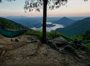
The overlook is easily accessible from a parking circle located off Oswald Road. Follow U.S. Highway from Ocoee, Tennessee for 8 miles then turn left onto Oswald Road. Follow Oswald Road for 2.5 miles until you encounter the overlook on your left. The overlook will be clearly marked with signage....Read more -
Gatlinburg, Tennessee
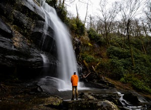
Cataract Falls, Smoky Mountains
4.41.09 miYou will find the trailhead to this gravel path just to the left of the Sugarlands Visitor Center. The easy walk along Fighting Creek is scenic and tends not to be crowded, either. At the end of the hike you will find a beautiful 25-foot waterfall. Please refrain from climbing on or around the f...Read more -
Spring City, Tennessee
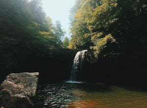
Hike to Stinging Fork Falls
3.53 mi / 400 ft gainThe trail begins on the right side of the parking lot. The first part is flat with no elevation change and easy walking. About half a mile in you will reach a trail split. The right trail will take you to the falls and the left trail will take you to an overlook of the gorge below. I was not able...Read more -
Sewanee, Tennessee
Hike to Bridal Veil Falls in Sewanee, TN
4.01.5 mi / 387 ft gainGreat short hike. Hard to find trail head, it is not marked at the parking area or where you leave the road. Put in your gps the coordinate spot tagged above off Clara Point Rd. To get to the trailhead, you have to cross the road from small parking area and go back 20 - 30 yards, where you will ...Read more -
Nashville, Tennessee
Mossy Ridge Trail
4.64.5 mi / 781 ft gainThe Mossy Ridge Trail offers scenic views of small waterfalls along this 4.5-mile hike in Percy Warner Park. If you're looking for a little longer hike (add 2 miles), you can start at the Nature Center and use the connector trails to join the main loop. This loop is dog friendly on-leash.Read more -
Tellico Plains, Tennessee
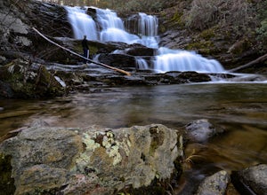
Hike to Conasauga Falls
4.51.5 mi / 400 ft gainGetting to the trailhead can be a challenge if there has been any heavy precipitation or icy conditions due to the fact the last two miles are one mile of broken pavement and the last mile a dirt road. You should be fine in good conditions in any car; however, just make sure to take it easy on th...Read more -
Townsend, Tennessee
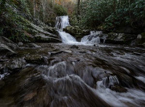
Spruce Flats Falls
4.81.64 mi / 495 ft gainTo get to Spruce Flats Falls, you will want to drive down 2.2 miles down the scenic Tremont Road to the Great Smoky Mountains Institute and park in the visitor center parking area. You will then want to ascend up the gravel road past the sign that says restricted to unrestricted traffic (meaning ...Read more -
Palmer, Tennessee
Savage Falls Trail
5.02.98 mi / 495 ft gainSavage Gulf Natural Area has more than 50 miles of trails, so be sure to start this adventure from the Savage Gulf Ranger Station entrance. To the right of the building, you'll find the trailhead for the Savage Day Loop. There, you can begin the 1.8-mile journey to the park's more-secluded waterf...Read more -
Tellico Plains, Tennessee
Hike to Falls Branch Falls
5.02.6 mi / 540 ft gainTo get to the trailhead, drive 22.5 miles on the Cherohala Skyway from Tellico Plains, Tennessee. If you are coming from the North Carolina side, drive 20.5 miles to the trailhead. The trailhead parking area is marked by a large green sign saying West Rattlesnake and is surrounded by a low stone ...Read more -
Chattanooga, Tennessee
Hike and Swim at the Middle Creek Slide
3.04 mi / 200 ft gainYou park just west of the map waypoint on the wide shoulder (remember to lock your car, thefts have been reported in this area). The trailhead is really just an opening on the side of the road. Follow this to the creek and start making your way along the rocks upstream. The difficulty of the cl...Read more -
Nashville, Tennessee
Hike the Day Loop at Long Hunter State Park
4.94 miPark at the Bakers Grove Area and take the newly wood chipped wood chip trail into the forest. Cross a small bridge, snake through a rock garden, and pass a sign indicating you are hiking the Day Loop Trail.There will be orange and white blazes. The orange blazes are for the Day Loop and the whit...Read more

