Oregon
Looking for the best photography in Oregon? We've got you covered with the top trails, trips, hiking, backpacking, camping and more around Oregon. The detailed guides, photos, and reviews are all submitted by the Outbound community.
Top Photography Spots in and near Oregon
-
Princeton, Oregon
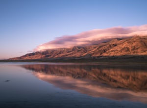
Camp at Mann Lake
Mann Lake can be found in the Steens Mountain Wilderness area. Camping is first come first serve but depending on the time of year it won't be crowded at all. I visited in the early fall and there was one other car. I decided to camp next to the lake (>200 ft. away of course), which holds wat...Read more -
Camp Sherman, Oregon
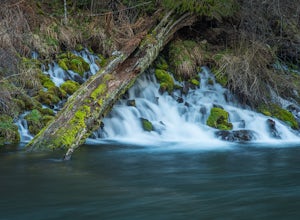
Hike the West Metolius River Trail
8 mi / 280 ft gainThe West Metolius River trail is one of the finest river trails in Central Oregon due to its easy terrain, beautiful blue water, volcanic spring fed waterfalls, and forest views. The hike starts just downstream from the Lower Canyon Creek Campground, where there is a bathroom and some picnic tab...Read more -
Imnaha, Oregon
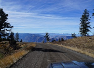
Drive to Hat Point Overlook in Hells Canyon
There are no services at Hat Point other than breathtaking views from your picnic table and pit toilets for use before the long ride back to town. Hells Canyon is the deepest river gorge in North America and the Imnaha Canyon is Northeastern Oregon’s second largest. From the firetower lookout a...Read more -
Ashland, Oregon
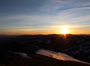
Summit Mt. Ashland
5.05 mi / 1550 ft gainSituated in Southern Oregon right near the California border lies the Siskiyou Mountain Range's tallest peak, Mount Ashland. Mount Ashland is a very popular area for many recreational activities, one of the most popular activities is skiing. The ski area was opened up in 1963 and has changed hand...Read more -
Government Camp, Oregon
Photograph the Wildflowers at Timberline Lodge
4.0From the mount hood scenic byway in Government Camp, Oregon turn on the road that heads up to the Timberline Lodge. Follow that road to the end and park in the lot all the way at the top. In the ski season you need a pass to park there, but if you go in June, July, Or August (aka when the wildflo...Read more -
Gladstone, Oregon
Run the Clackamette Park Loop
1.2 mi / 10 ft gainClackamette Park is known for its prime destination right off of the freeway and across from Oregon City's most popular shopping area, but it's frequented for its public boat dock, RV facilities, and handicap-accessible picnic benches. While the rest of Portland's parks freeze over or flood, Clac...Read more -
Port Orford, Oregon
Hike the Port Orford Heads Trail
1.3 mi / 300 ft gainThe Port Orford Heads State Park comprises a drastically pronounced peninsula jutting out into the Pacific Ocean from the southern Oregon coast, providing breathtaking views both north to the Cape Blanco Lighthouse and south to Humbug Mountain and beyond. The Port Orford Heads Trail is the main l...Read more -
Brookings, Oregon
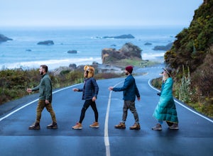
Explore Thunder Rock Cove at Samuel H Boardman State Scenic Corridor
1.5 mi / 400 ft gainOne of many magical nooks and crannies to explore all along the Samuel H. Boardman State Scenic Corridor, Thunder Rock Cove sits between the iconic (and more popular) Natural Bridges and Secret Beach. The hike to the cover overlook is an easy .75 mile hike down from the Thunder Rock pull-off tha...Read more -
La Pine, Oregon
Hike up Paulina Peak
5.06 mi / 1800 ft gainDistance: 6 miles, out-and-back (Can also be done as a 12 mile loop via Crater Rim Trail). Starting at Paulina Lake, just past the Visitor Center lies a marked trailhead for Paulina Peak. The trail starts close to the road and winds through the forest around the back of some lake maintenance fac...Read more -
Sisters, Oregon
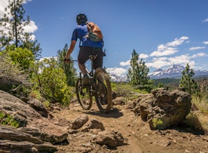
Mountain Bike the Peterson Ridge Trail
1.016.1 mi / 1167 ft gainBend, Oregon has a deserved reputation as one of the top mountain bike destinations in the country. Unless you are from the area, you might not be familiar with nearby Sisters. Sisters is a sleepy western-themed town of 3,000 better known for it's annual rodeo and quilt festival but the locals ha...Read more -
Winchester Bay, Oregon
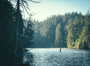
Paddleboard Lake Marie at the Umpqua Lighthouse State Park
The Umpqua State Lighthouse is an emerald gem of Oregon Coastal perfection: dense forest intermingled with lakes and streams spill out onto a massive dune system that plays gatekeeper to the Umpqua River as it empties into the roaring Pacific Ocean. Lake Marie sits nestled in the heart of the pa...Read more -
Sisters, Oregon
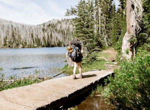
Backpack to Santiam Lake via Duffy Lake Trailhead
9.94 mi / 1362 ft gainYou start by weaving through an old-growth forest, gaining a little elevation, appreciating the shade, before you come up out and into the alpine forest the majority of the hike will take place in. You will quickly reach your first of many intersections within ~.1 mile into the trail. Be sure t...Read more -
Brookings, Oregon
Explore the Marine Garden at Harris Beach SP
The Marine Garden at Harris Beach State Park is one of the 7 designated Marine Garden's on the Oregon Coast where the ecosystem is protected and the collection and disturbance of tidal flora and fauna is prohibited. Interpretive hikes and guides are available through the State Park system, as are...Read more -
Astoria, Oregon
Airport Dike Trail
3.04.11 mi / 79 ft gainParking for this hike can be found at either end of the trail. It starts at the west end of the Lewis & Clark Bridge from a small access road that is used as a parking lot. From here it is a flat walk along an old grassy road that is well maintained. If you forgot to bring along bags to pi...Read more -
11020 Southwest Denney Road, Oregon
Run the Fanno Creek trail
4 miThe parking lot marked is at the North end of the Fanno Creek trail, you can get on the paved path here and put on just about as many miles as you want! With the help of google maps on your phone you can follow trail hop all the way down to Tualatin! But if you're looking for a shorter workout yo...Read more -
Marion County, Oregon
Hike Mt. Jefferson's Park Ridge
5.07.4 mi / 1500 ft gainFrom the Breightenbush Lake PCT trailhead (5,600ft Elevation) you hike through a thick forest until you reach an old burn area. This area was burned from a forest fire and has rebirthed lush green plants and bushes to help feed all the animals in the area. After a mile of climbing through the bur...Read more

