Oregon
Looking for the best photography in Oregon? We've got you covered with the top trails, trips, hiking, backpacking, camping and more around Oregon. The detailed guides, photos, and reviews are all submitted by the Outbound community.
Top Photography Spots in and near Oregon
-
Bend, Oregon
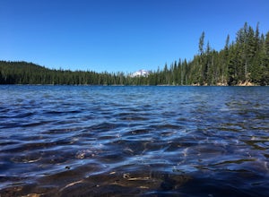
Hike to Lucky Lake
5.02.5 mi / 405 ft gainLocated just 4.36 miles past the popular Elk Lake Day Use turnoff, the trailhead is on the right side of the highway, marked by a small 'trailhead' sign. The hike begins at the Senoj Lake Trailhead and climbs up to the lake for 1.26 miles. Once you reach the lake, you can choose to go left or rig...Read more -
Camp Sherman, Oregon
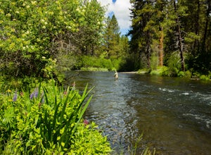
Fly Fishing the Metolius
5.0If there were a river in heaven it would be the Metolius. This gem located near Sisters Oregon offers year-round fly-fishing (only) to anyone who wishes to do so. The area offers multiple types of accommodations from tent camping to staying in resort-like cabins on the river. The best time to go...Read more -
Cascade Locks, Oregon
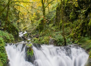
Emerald Falls
2.00.65 mi / 308 ft gainStart at the Wyreth Campground day-use area. If it's closed, park on the side of the road and walk in from the roadway. You'll see an intersection with a wooden bridge crossing the river. Take a few pictures and continue straight on the trail. You'll go about 1/2 mile on the trail until you rea...Read more -
Bend, Oregon
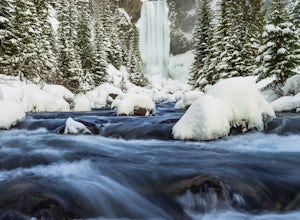
Snowshoe or XC Ski to Tumalo Falls
3.55 mi / 500 ft gainIf you are looking to Hike to Tumalo Falls in any season other than winter, click here!In the summer, Tumalo Falls can be a great destination to drive up and hang out due to the fact that you can park near the base of the falls. Because of this, it can get quite crowded! However, in the winter, t...Read more -
Ashland, Oregon
Hike to Hobart Bluff
2.5 mi / 200 ft gainHobart Bluff is part of the Western Cascades, a range of weathered volcanic mountains that are much older than the High Cascades that most people think of today, the range of Shasta, Rainier, and Hood. These mountains are shorter as a result of the work of time and usually have summits wrapped in...Read more -
Tillamook, Oregon
Cape Meares Lighthouse
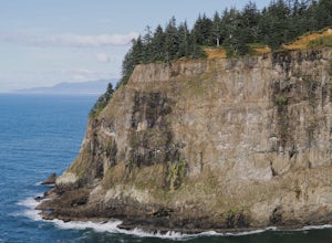
4.3This historic site served as a major lighthouse for years and was turned into a scenic viewpoint offering some rad views of the Oregon Coast. The park is located only about 10 miles west of Tillamook. The parking lot has limited space so get there as early as you can. The Cape Meares lighthous...Read more -
Josephine County, Oregon
Raft or Kayak the Wild & Scenic Rogue River
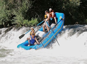
4.8The Wild and Scenic Section of the Rogue River is a hidden secret in the Pacific Northwest. This virtually untouched 34-mile section boasts some of the most pristine and secluded scenery in Oregon. Bald eagles, osprey, and black bears are frequently (if not always) spotted along the way. This bea...Read more -
Nehalem, Oregon
Neahkahnie Mountain via South Trailhead
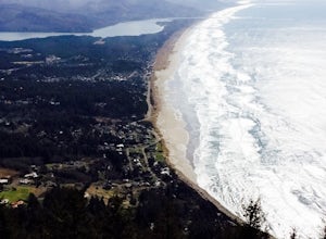
5.02.92 mi / 860 ft gainYou have a couple different options on how to access this hike (North and South trailhead) also if you would like to hike the loop trail or out-and-back option. Driving directions for this hike isn't to difficult, heading south on highway 101 drive 16.6 miles past the exists for Cannon Beach and ...Read more -
Mosier, Oregon
Mosier Plateau Trail
2.79 mi / 600 ft gainThe Columbia River Gorge is full of hidden gems, especially for new folks like me. I just found out about this little trail right in the middle of Mosier Oregon. The trail is great for new hikers, and if you have some friends visiting this would be the perfect trail to take them on if they don'...Read more -
CRATER LAKE, Oregon
Snowshoe or XC Ski to Watchman Overlook
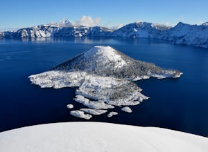
5.08 mi / 500 ft gainStarting at the Rim Village parking area, this snowshoe/cross-country ski trip (whichever you choose) heads out on snow-covered West Rim Drive, bound for the saddle between Hillman Peak and The Watchman, overlooking Wizard Island. The path is not terribly steep (this is, after all, a drivable roa...Read more -
Cascade Locks, Oregon
Indian Point via Herman Creek Trailhead
5.08.08 mi / 3658 ft gainPark at the Herman Creek Trailhead in Cascade Locks 2 miles from the exit. Remember to bring your Northwest Forest pass or a $5 payment to park. Start ascending on the Herman Creek trail a little over a mile until you hit a three-way junction for Gorton Creek Trail #408, Trail #400, and Herman ...Read more -
McMinnville, Oregon
Hike the Red Trail in Miller Woods
4.04 mi / 400 ft gainLocated three miles west of McMinnville and available for public hiking and activities, Miller Woods is owned and operated by Yamhill SWCD. You may choose different trails to take.From the parking lot the trails are marked by colors to go on the 4.0 mile loop go to the meadow and follow the red m...Read more -
Cascade Locks, Oregon
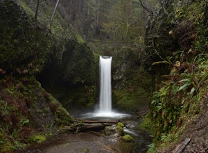
Wiesendanger Falls
3.02 mi / 1591 ft gainYou can get on the trail in about 45 minutes from Portland and 35 minutes from Hood River via I-84. Once you get out of your car in the Multnomah Falls parking lot, head over to the historic Multnomah Falls Lodge. This is a neat place to check out after your hike. Then, follow the crowds to the ...Read more -
Sisters, Oregon
The Sisters to Smith Rock Ride
5.036.6 mi / 597 ft gainStarting in the "Old West" town of Sisters, Oregon and ending at Smith Rock State Park outside the small town of Terrebonne, this route takes riders past a variety of historical sites, shows the gentle curves of the Deschutes River and frames spectacular views of the Cascade Mountains, and ends w...Read more -
Sisters, Oregon
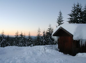
Snowshoe to the Mountain View Shelter
5.04 mi / 500 ft gainA short hike from the sno-park, the snow shelter is within an hour's reach of the trailhead. Make sure to print a trail map of the area's routes ahead of time, or take a picture of the map provided in the parking lot, as the network of trails can get you a little lost.From the parking lot, make s...Read more -
Rhododendron, Oregon
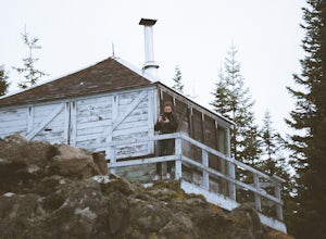
Devil's Peak Lookout
3.02.62 mi / 600 ft gainThe Trail: This hike is one of the 2 routes that lead to the lookout, and the shorter of the two. It requires more driving to get to the trailhead than the other, but less walking, so if that sounds appealing to you, you have come to the right place! First, you'll be greeted by a dense forest w...Read more

