Clyde, North Carolina
Top Spots in and near Clyde
-
Cleveland, South Carolina
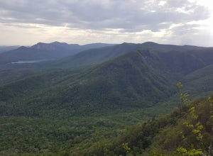
Caesars Head Overlook
5.00.27 mi / 144 ft gainThe Drive: Head North on SC Highway 11 "Cherokee Foothills Scenic Highway" towards Table Rock State Park. Follow SC 11 past Table Rock approximately 8 miles where it will merge with SC 8 at Pumpkin Town. Follow SC 8 for another 3-4 miles until you see the intersection for SC Highway 276 on the le...Read more -
Gatlinburg, Tennessee
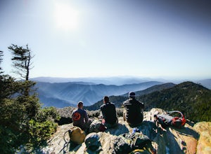
Mount LeConte-Cliff Tops via Rainbow Falls Trail
4.513.37 mi / 3993 ft gainBegin at the Rainbow Falls trail parking lot. This is very popular area especially in the summer. If the parking area at the trail head is full there is additional parking located just past the main lot. From here the Rainbow Falls trail is just under 14 miles to the summit of Mount Leconte. Elev...Read more -
35.675929,-83.485764
Roaring Fork Motor Nature Trail
5.05.83 miThis 6 mile drive is a great way to spend a scenic day in the Smokies. The road is open to cars only (no trucks or RVs) and runs one-way. There are no visitors centers after you head out, so be sure to bring everything you need along. The drive begins at the historic Ogle farmstead, which is als...Read more -
Highlands, North Carolina
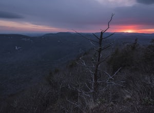
Hike the Whiteside Mountain Loop
5.02 mi / 595 ft gainWhiteside Mountain is simply breathtaking, there is no way around it. Views of the mountain from the South expose its sheer granite face, which runs almost its entire length East-to-West. However, the views of the mountain are just the beginning, as this hike climbs to higher heights than just ...Read more -
Sunset, South Carolina
Virginia Hawkins Falls (Double Falls)
4.02.6 mi / 456 ft gainA moderate to advanced 2.6 mile hike has many stairs and a lot of ascents and descents along the way. The hike may not be the easiest but the payoff is worth it. The trail is easily marked so no need to worry about getting lost.Read more -
Greenville County, South Carolina
Hike the Jones Gap Loop
5.05.5 mi / 2000 ft gainStart on the Jones Gap Trail (blue), which will lead you alongside the Saluda River. After 2.5 miles, take the Old Springs Branch Trail (orange) to loop back to the lot.For a challenging, more strenuous hike, with great views of the Gap, check out Rim of the Gap Trail. It is not advised to take c...Read more -
Greenville County, South Carolina
Hike the Pinnacle Pass/Rim of the Gap Loop
11.5 mi / 2345 ft gainThe Trailhead: Located at Jones Gap State Park in Marietta, SC of northern Greenville County. Follow the trail across an iron bridge that crosses the Middle Saluda River, and be sure to register at the Ranger’s Station/Gift Shop on the far side of the gap. The trail head(s) are located directly o...Read more -
Greenville County, South Carolina
Hike to Rainbow Falls and Pretty Place
5.05.96 mi / 1844 ft gainJones Gap State Park in the Upstate of South Carolina is one of the most beautiful parks in the state offering a good range of moderate and challenging hiking and backpacking trails through the Mountain Bridge Wilderness Area. Jones Gap also provides superb primitive camping sites along the rocky...Read more -
Sunset, South Carolina
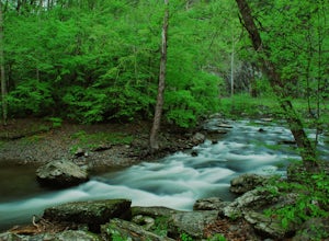
Kayak to Laurel Fork Falls
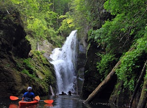
4.0This stunning waterfall tumbles down 80 feet before spilling into Lake Jocassee between a slot of shear rock cliffs. However, the catch is not many people see this beautiful location unless you have a boat or are willing to hike a streneous 8-mile hike one-way along the Foothills Trail.But I am s...Read more -
Gatlinburg, Tennessee
Quilliam Cave via Courthouse Rock Trail
2.85 mi / 1404 ft gainQuilliam Cave via Courthouse Rock Trail is an out-and-back trail that takes you by a river located near Gatlinburg, Tennessee.Read more -
Bryson City, North Carolina
Southern Smokies: Fontana Lake to Clingman's Dome
4.520.39 mi / 5750 ft gainThis is a strenuous (though not technical) hike that really showcases the forests, creeks, and (eventually) the highest point of Great Smoky Mountains National Park. As this is a point-to-point route, you will want to have two vehicles - one that you can leave at Clingman's Dome and one that you ...Read more -
Highlands, North Carolina
Explore Cullasaja Falls
5.00.3 mi / 200 ft gainThis is an awesome waterfall that offers views from several different spots along the road as well as a quick hike down to the base! The small pull-off area is located towards the top of the falls. There isn't much space (3 maybe 4 cars at a time), but there are additional pull-off areas further ...Read more -
Cashiers, North Carolina
Explore Whitewater Falls
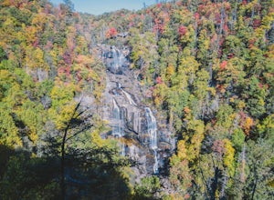
4.00.5 mi / 100 ft gainWhitewater Falls is the highest waterfall east of the Rocky Mountains with the upper falls alone dropping over 400 feet. The walk to the falls is very short and friendly for all ages and abilities - the path is paved so the falls are wheelchair accessible. The falls are beautiful in all seasons b...Read more -
150 Asbury Drive, South Carolina
Hike the Asbury Trail to Moonshine Falls
5.5 mi / 800 ft gainThe trail to the Matthews Creek cable bridge crossing is easy. The cable crossing is fine - fun for some and a do-able challenge for others. After the creek, to get to Moonshine Falls, turn RIGHT at the post which indicates a trail both left and right. This is the Naturaland Trail in Caesars Hea...Read more -
Sevierville, Tennessee
Spelunking in Forbidden Caverns
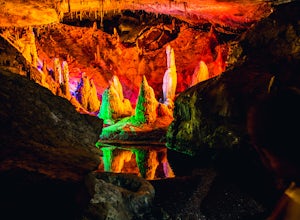
5.0When exploring all that Tennessee has to offer, it’s hard to ignore the fact it is home to more caves than any other state in America. So when picking one, of more than 10,000, to explore it is hard to go wrong. Forbidden Caverns happens to be one of the most popular spots and is only a few minut...Read more -
Montreat, North Carolina
Hike Lookout Mountain, Montreat
5.01.1 mi / 623 ft gainNestled in the Blue Ridge Mountains is Montreat, North Carolina. Just down the road from Asheville, it neighbors Black Mountain and doesn't disappoint for views. Montreat itself houses a plethora of hiking trails, but the cream of the crop HAS to be Lookout Mountain. After a weekend of checking o...Read more

