Clyde, North Carolina
Top Spots in and near Clyde
-
Franklin, North Carolina
Siler Bald from Wayah Gap
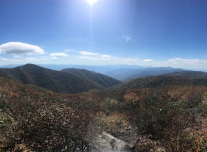
5.03.66 mi / 1060 ft gainThe Appalachian Trail does not need a lot of hype beyond its existing legendary status. However, there are certain parts of it that do stand out as being a little extra special. Siler Bald is one of those spots. A large clearing starting from Snowbird Gap and going all the way up to Siler Bald...Read more -
Bryson City, North Carolina
Hike Ledbetter Creek
5.0Leaving the Nantahala Outdoor Center, drive upriver for 6.5 miles until you see a pull off on the right. Walk past the picnic tables, cross the railroad tracks, then follow the trail to arrive at the creek. Once you're there, it's up to you on what to do next.One of the most popular activities he...Read more -
Otto, North Carolina
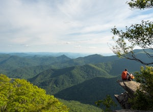
Hike to and Climb Pickens Nose
4.81.5 mi / 200 ft gainFrom the parking area (fits about 6 cars) follow the trail on the same side of the road up the ridge through dense rhododendron. Several spur trails branch off of the main trail and lead to rock outcroppings with excellent views. Getting to the parking area is slow. The narrow gravel road winds...Read more -
Franklin, North Carolina
Backpack the Standing Indian Loop on the Appalachian Trail
24 miBegins at the parking lot for the Standing Indian Campground. (No permits are needed to park here) For the first 3.7 miles, take Kimsey Creek Trail, which runs along the water, until you meet up with the AT at Deep Gap. Rolling hills and lots of foliage throughout, leading up to Standing Indian M...Read more -
Micaville, North Carolina
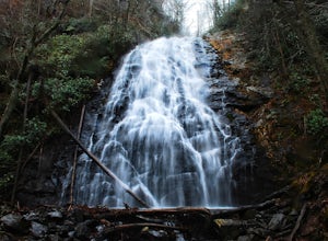
Crabtree Falls
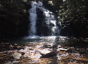
4.92.83 mi / 525 ft gainStarting from the old store parking area at MP 339.5 on the Blue Ridge Parkway, follow the trail through a meadow past the campground amphitheater. After crossing the paved road to the campground, the trail will come to a T-intersection. Take the trail to the right for the shortest way to the fal...Read more -
Townsend, Tennessee
Backpack to Spence Field
13.8 mi / 3100 ft gainStart your hike at Anthony Creek Trailhead (elevation 1,800 ft), in the Cade’s Cove area. The trailhead is located at the far end of the day-use picnic area near Cade’s Cove campground. There are a few parking spots right at the trailhead, but note that the picnic area closes at dusk (a gate clos...Read more -
35.604955,-83.770373
Hike to Rocky Top
5.012.8 mi / 3500 ft gainRocky Top is known to be the spot that inspired the famous fight song of the University of Tennessee, which is also an official song for the state of Tennessee. The trailhead for this hike begins in the Cade’s Cove picnic area parking lot towards the back side. There are a few parking spots ri...Read more -
Marion, North Carolina
Drive the Scenic Lake Tahoma
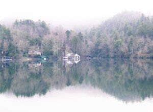
This scenic drive is along NC 80 between a small town called Pleasant Gardens and Micaville. It can also be taken in the opposite direction depending on where you are driving from, but the main attraction is Lake Tahoma. Lake Tahoma is a private lake in the Western North Carolina Mountains, but ...Read more -
Erwin, Tennessee
Martin's Creek Falls
3.02.06 mi / 522 ft gainMartin's Creek Falls is an out-and-back trail that takes you by a waterfall located near Erwin, Tennessee.Read more


