Strong City, Kansas
Top Spots in and near Strong City
-
Strong City, Kansas
Hike through the Tallgrass Prairie Preserve
5.09 miPark your car at the Visitor Center and head inside to grab a copy of the trail map. If the Visitor Center is closed, you can take a picture of the map on the display outside of the building. There are several trails you can take in the preserve, and all of them are worth the time. I recommend st...Read more -
Junction City, Kansas
Explore Geary Lake Falls
4.3Geary Lake Falls is only active after recent rains. It is formed by the overflow outlet of Geary State Fishing Lake. It is great fun to view the falls from the top and then venture down to the base. Both offer unique and interesting vantage points.There are no signs or directions to this waterfal...Read more -
Abilene, Kansas
Photograph Brown Park Waterfall
3.0This waterfall is frequently flowing. It was created by a defunct mill dam on Turkey Creek. It is located in Brown Memorial Park just outside of Abilene, Kansas.Take Highway 15 south from Abilene, over the Smoky Hill River. Turn east (left) on 2000 Avenue, than south a few hundred yards on Hawk R...Read more -
Manhattan, Kansas
Konza Prairie Nature Trail
4.82.8 mi / 236 ft gainThe Konza Prairie Nature Trail is a special beloved attraction in the area. It is set on 3,487 hectare of native tallgrass prairie. The trail offers a choice of 3 loops: The Nature Trail Loop at 2.8 miles, The Kings Creek Loop at 4.6 miles, and the Godwin Hill Loop at 6.1 miles. All trails start ...Read more -
Manhattan, Kansas
Konza Prarie-Kings Creek Loop
4.72 mi / 335 ft gainStarting at the trailhead, this very well-maintained trail is an easy, 4.6 mile loop. This is the second of 3 loops from the trailhead. The longest one is just over 6 miles and connects the Konza Prairie Loop with the Kings Creek Loop and the Goodwin Hill Loop. Don't want the full 6 miler, but ar...Read more -
Manhattan, Kansas
Konza Godwin Hill Loop
6.25 mi / 384 ft gainKansas is somewhat known for its relatively flat land with nearly identical scenery across the entire state. One place where that differs is the Konza Prairie, a part of the larger Flint Hills. Totaling 6.1 miles this trail offers a variety of scenery from start to finish. Parking right before ...Read more
Camping and Lodging in Strong City
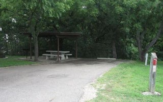
Council Grove, Kansas
Santa Fe Trail
Overview
Santa Fe Trail Campground is located on the 3,310-acre Council Grove Lake in the green expanses of eastern Kansas.Recreation
Boa...
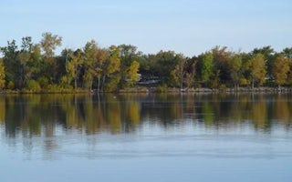
Council Grove, Kansas
Canning Creek
Overview
Canning Creek Cove Park is located on the 3,310-acre Council Grove Lake in the green expanses of eastern Kansas.Recreation
Boati...
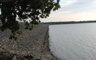
Council Grove, Kansas
Kanza View Picnic Shelter
Overview
Kanza View Picnic Shelter is located at the east end of Council Grove Dam just off Kansas Highway 177. It offers some of the mos...
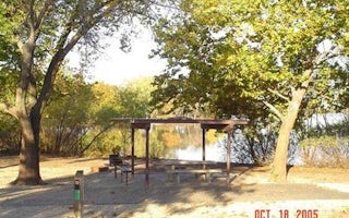
Council Grove, Kansas
Richey Cove
Overview
Richey Cove Campground is located on the 3,310-acre Council Grove Lake in the green expanses of eastern Kansas.Recreation
Boatin...
Marion, Kansas
Hillsboro Cove
Overview
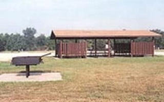
Hillsboro Cove is a quiet little campground conveniently located off Highway 56 between the towns of Marion and Hillsboro. It's ...
Marion, Kansas
Cottonwood Point
Overview
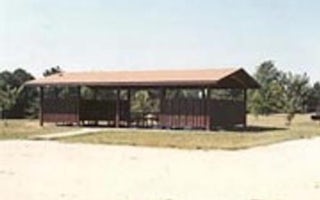
Cottonwood Point is a spacious and shady campground located on the shores of Marion Reservoir. This Kansas getaway draws in thou...


